
| Distance / Altitude | Location | Report Date / Time | Live Weather | Wind | Gusts | Temp. | Visibility | Cloud |
|---|---|---|---|---|---|---|---|---|
| 33 km NW / 53 m | lightning 132km S of Ialibu (Papua New Guinea) | 2025-12-25 17:46 local (2025/12/25 07:46 GMT) | Thunderstorm | (- km/h at -) | — | |||
| 229 km NE / 1587 m | Goroka Highlands Airport (Papua-New Guinea) | 2025-12-25 16:00 local (2025/12/25 06:00 GMT) | visibility reduced by smoke | - (- km/h at -) | 22°C | 30 | - | |
| 249 km N / 2105 m | lightning 39km N of Mount Hagen (Papua New Guinea) | 2025-12-25 18:50 local (2025/12/25 08:50 GMT) | Thunderstorm | (- km/h at -) | — | |||
| 252 km N / 1404 m | lightning 26km ENE of Wabag (Papua New Guinea) | 2025-12-25 18:47 local (2025/12/25 08:47 GMT) | Thunderstorm | (- km/h at -) | — | |||
| 285 km S / 4 m | Coconut Island (Australia) | 2025-12-25 18:00 local (2025/12/25 08:00 GMT) | no report | - (- km/h at -) | 26°C | - | - | |
| 307 km ENE / 70 m | Nadzab (Papua New Guinea) | 2025-12-25 16:00 local (2025/12/25 06:00 GMT) | rain | - (- km/h at -) | 25°C | 30 | - - - | |
| 375 km E / 15 m | SHIP4308 (Marine) | 2025-12-25 17:00 local (2025/12/25 07:00 GMT) | - (- km/h at -) | 32°C | - km | |||
| 375 km E / 15 m | SHIP6321 (Marine) | 2025-12-25 16:00 local (2025/12/25 06:00 GMT) | - (- km/h at -) | 31°C | - km | |||
| 375 km E / 15 m | SHIP3028 (Marine) | 2025-12-25 16:00 local (2025/12/25 06:00 GMT) | - (- km/h at -) | 31°C | - km | |||
| 375 km E / 15 m | SHIP9427 (Marine) | 2025-12-25 16:00 local (2025/12/25 06:00 GMT) | - (- km/h at -) | 31°C | - km |
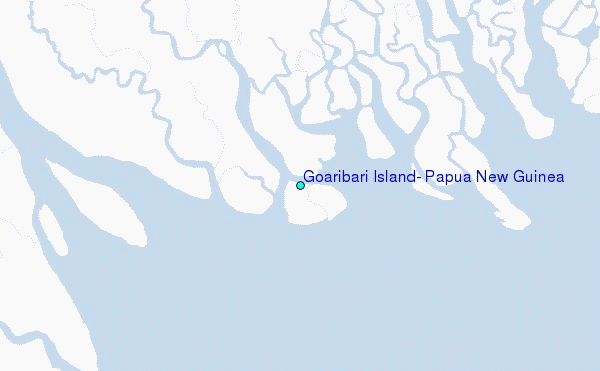
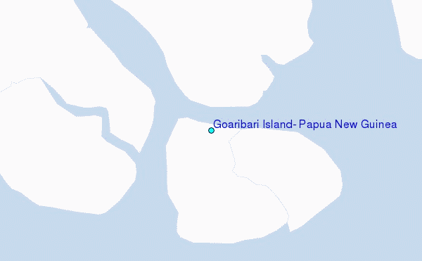
Choose Goaribari Island, Papua New Guinea Location Map Zoom:
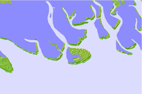
| Contours: | Roads & Rivers: | Select a
tide station / surf break / city |
Use this relief map to navigate to tide stations, surf breaks and cities that are in the area of Goaribari Island, Papua New Guinea.
Other Nearby Locations' tide tables and tide charts to Goaribari Island, Papua New Guinea:
click location name for more details
 Surf breaks close to Goaribari Island, Papua New Guinea:
|
||
|---|---|---|
| Closest surf break | Tupira Right | 243 mi |
| Second closest surf break | Forok Point | 287 mi |
| Third closest surf break | The Wharf (Mission Point) | 291 mi |
| Fourth closest surf break | Moem Point | 292 mi |
| Fifth closest surf break | Wewak Point | 293 mi |


 Nearest
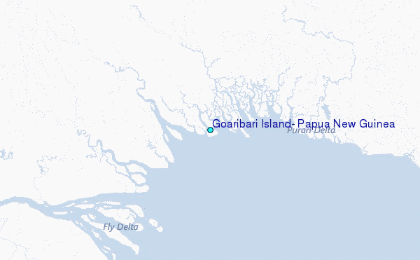