
| Distance / Altitude | Location | Report Date / Time | Live Weather | Wind | Gusts | Temp. | Visibility | Cloud |
|---|---|---|---|---|---|---|---|---|
| 5 km WSW / 217 m | Moffett Federal Airfield Airport (California) | 2025-12-25 15:30 local (2025/12/25 23:30 GMT) | Dry and partly cloudy | moderate winds from the SSE (20 km/h at 150) | 15°C | 14 | few scattered broken | |
| 8 km SSW / 39 m | Sunnyvale wx (United States) | 2025-12-25 15:22 local (2025/12/25 23:22 GMT) | dry | calm (2 km/h at 106) | 13°C | - | - - 0 | |
| 8 km SE / 218 m | San Jose Airport (California) | 2025-12-25 14:53 local (2025/12/25 22:53 GMT) | Light rain | moderate winds from the SSW (22 km/h at 200) | 15°C | 16 | few scattered scattered | |
| 9 km S / 41 m | Aloha Mobile Village wx (United States) | 2025-12-25 15:36 local (2025/12/25 23:36 GMT) | dry | calm (5 km/h at 196) | 13°C | - | - - 0 | |
| 10 km S / 63 m | Sunnyvale (California) | 2025-12-25 13:45 local (2025/12/25 21:45 GMT) | dry | light winds from the S (16 km/h at 174) | 15°C | - | - - 0 | |
| 10 km S / 35.4 m | Santa Clara (California) | 2025-12-25 15:22 local (2025/12/25 23:22 GMT) | dry | light winds from the SSW (13 km/h at 196) | 14°C | - | - - 0 | |
| 11 km NE / 317 m | Sunol (California) | 2025-12-25 16:11 local (2025/12/26 00:11 GMT) | dry | calm (5 km/h at 201) | 12°C | - | - - 0 | |
| 11 km SW / 22 m | Gemello wx (United States) | 2025-12-25 15:25 local (2025/12/25 23:25 GMT) | - | - (- km/h at ) | — | - | - - 0 | |
| 11 km S / 72 m | Cupertino wx (United States) | 2025-12-25 15:34 local (2025/12/25 23:34 GMT) | dry | calm (0 km/h at 0) | 13°C | - | - - 0 | |
| 11 km S / 41.8 m | Santa Clara (California) | 2025-12-25 16:11 local (2025/12/26 00:11 GMT) | dry | wind obs. (8 kph from 360 degs) was rejected (- km/h at -) | 14°C | - | - - 0 |
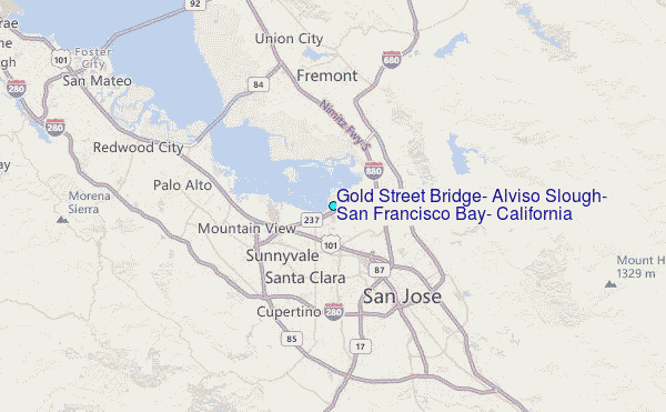
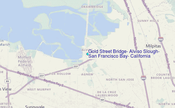
Choose Gold Street Bridge, Alviso Slough, San Francisco Bay, California Location Map Zoom:
| Contours: | Roads & Rivers: | Select a
tide station / surf break / city |
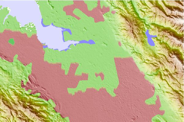
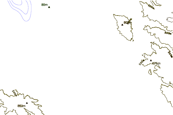
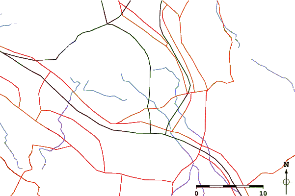
Use this relief map to navigate to tide stations, surf breaks and cities that are in the area of Gold Street Bridge, Alviso Slough, San Francisco Bay, California.
Other Nearby Locations' tide tables and tide charts to Gold Street Bridge, Alviso Slough, San Francisco Bay, California:
click location name for more details
 Surf breaks close to Gold Street Bridge, Alviso Slough, San Francisco Bay, California:
|
||
|---|---|---|
| Closest surf break | San Gregorio State Beach | 24 mi |
| Second closest surf break | Pomponio State Beach | 25 mi |
| Third closest surf break | Francis Beach | 26 mi |
| Fourth closest surf break | Pescadero State Beach | 26 mi |
| Fifth closest surf break | Bean Hollow State Beach | 27 mi |


 Nearest
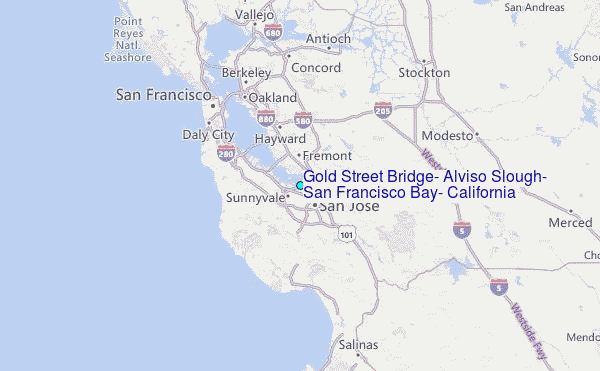