
| Distance / Altitude | Location | Report Date / Time | Live Weather | Wind | Gusts | Temp. | Visibility | Cloud |
|---|---|---|---|---|---|---|---|---|
| 5 km WSW / 219 m | Dakar/Yoff-Léopold Sédar Senghor International Airport (Senegal) | 2026-02-05 10:00 local (2026/02/05 10:00 GMT) | - | light winds from the NNW (11 km/h at 340) | — | 0.0 | ||
| 42 km E / 89 m | Blaise Diagne International Airport (Senegal) | 2026-02-05 10:30 local (2026/02/05 10:30 GMT) | Dry and partly cloudy | moderate winds from the N (26 km/h at 10) | — | 0.0 | no significant cloud - - | |
| 133 km E / 9 m | Diourbel (Senegal) | 2026-02-05 10:00 local (2026/02/05 10:00 GMT) | - | calm (0 km/h at 0) | — | 0.0 | - - - | |
| 163 km ESE / 7 m | Kaolack Airport (Senegal) | 2026-02-05 10:00 local (2026/02/05 10:00 GMT) | - | calm (4 km/h at 360) | — | 0.0 | ||
| 169 km SSE / 162 m | Banjul/Yundum International Airport (Gambia) | 2026-02-05 10:00 local (2026/02/05 10:00 GMT) | Dry and partly cloudy | light winds from the W (7 km/h at 270) | 22°C | 7.0 | no significant cloud | |
| 174 km SSE / 38 m | BanjulYundum (Gambia) | 2026-02-05 09:00 local (2026/02/05 09:00 GMT) | Haze | light winds from the WSW (6 km/h at 250) | 20°C | 28 km | - mostly cloudy - | |
| 185 km NE / 499 m | Saint Louis (Senegal) | 2026-02-05 10:00 local (2026/02/05 10:00 GMT) | - | light winds from the N.(Wind varies from 270 to 080 degs) (7 km/h at 360) | — | 0.0 | - - - | |
| 212 km S / 15 m | SHIP5662 (Marine) | 2026-02-05 09:00 local (2026/02/05 09:00 GMT) | - (- km/h at -) | — | - km | |||
| 212 km S / 3 m | SHIP4219 (Marine) | 2026-02-05 09:00 local (2026/02/05 09:00 GMT) | - (- km/h at -) | — | - | |||
| 212 km S / 15 m | SHIP7097 (Marine) | 2026-02-05 09:00 local (2026/02/05 09:00 GMT) | - (- km/h at -) | — | - km |
| Contours: | Roads & Rivers: | Select a
tide station / surf break / city |
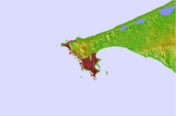
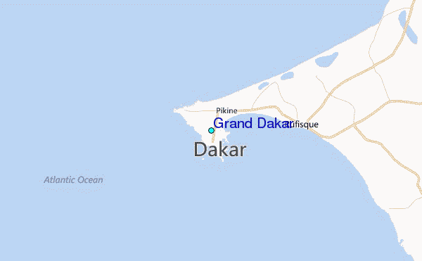
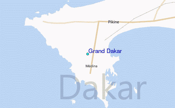
Use this relief map to navigate to tide stations, surf breaks and cities that are in the area of Grand Dakar.
Other Nearby Locations' tide tables and tide charts to Grand Dakar:
click location name for more details
 Surf breaks close to Grand Dakar:
|
||
|---|---|---|
| Closest surf break | Corniche Ouest | 2 mi |
| Second closest surf break | Ouakam | 2 mi |
| Third closest surf break | Yoff Beach | 4 mi |
| Fourth closest surf break | Le Virage | 4 mi |
| Fifth closest surf break | Vivier | 4 mi |


 Nearest
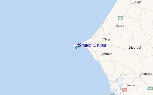