
| Distance / Altitude | Location | Report Date / Time | Live Weather | Wind | Gusts | Temp. | Visibility | Cloud |
|---|---|---|---|---|---|---|---|---|
| 34 km W / 216 m | Galliano- South Lafourche Airport (LA) (United States) | 2026-06-11 19:35 local (2026/06/12 00:35 GMT) | Clear | light winds from the SE (6 km/h at 140) | 28°C | 16 | ||
| 43 km SE / 3 m | BUOY-42084 (Marine) | 2026-06-11 19:00 local (2026/06/12 00:00 GMT) | - (- km/h at -) | 29°C | - | |||
| 62 km N / 218 m | New Orleans Naval Air Station Airport (Louisiana) | 2026-06-11 18:55 local (2026/06/11 23:55 GMT) | Dry and partly cloudy | light winds from the S (13 km/h at 170) | 30°C | 16 | scattered broken | |
| 65 km SE / 3 m | BUOY-BURL1 (Marine) | 2026-06-11 20:00 local (2026/06/12 01:00 GMT) | light winds from the SE (15 km/h at 140) | 28°C | - | |||
| 77 km W / 312 m | Houma Terrebonne Airport (Louisiana) | 2026-06-11 18:47 local (2026/06/11 23:47 GMT) | Clear | light winds from the S (13 km/h at 180) | 30°C | 11 | ||
| 83 km SE / 40 m | South Pass 89e (Louisiana) (Louisiana) | 2026-06-11 19:35 local (2026/06/12 00:35 GMT) | Clear | light winds from the ESE (15 km/h at 120) | 28°C | 16 | ||
| 86 km NW / 215 m | New Orleans International Airport (Louisiana) | 2026-06-11 18:53 local (2026/06/11 23:53 GMT) | - | light winds from the S (17 km/h at 180) | 30°C | 16 | few | |
| 88 km N / 218 m | New Orleans/Lakefront Airport (Louisiana) | 2026-06-11 18:53 local (2026/06/11 23:53 GMT) | Clear | moderate winds from the SSE (22 km/h at 160) | 29°C | 16 | ||
| 108 km N / 2 m | Oak Harbor wx (United States) | 2026-06-11 19:16 local (2026/06/12 00:16 GMT) | dry | calm (0 km/h at 259) | 29°C | - | - - 0 | |
| 109 km NW / 3 m | Reserve Airport (Louisiana) (Louisiana) | 2026-06-11 19:35 local (2026/06/12 00:35 GMT) | Clear | light winds from the ESE (11 km/h at 120) | 30°C | 16 |
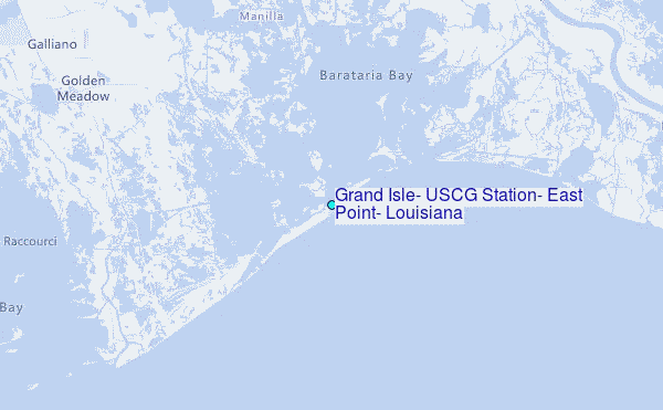
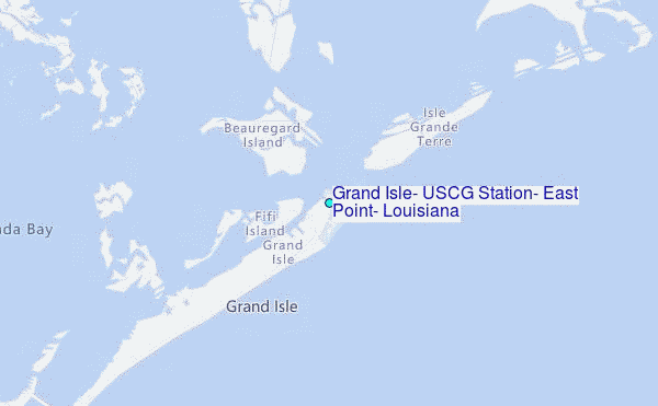
Choose Grand Isle, USCG Station, East Point, Louisiana Location Map Zoom:
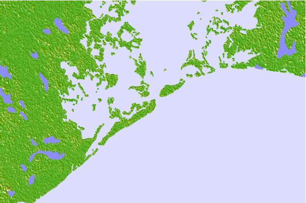
| Contours: | Roads & Rivers: | Select a
tide station / surf break / city |

Use this relief map to navigate to tide stations, surf breaks and cities that are in the area of Grand Isle, USCG Station, East Point, Louisiana.
Other Nearby Locations' tide tables and tide charts to Grand Isle, USCG Station, East Point, Louisiana:
click location name for more details
 Surf breaks close to Grand Isle, USCG Station, East Point, Louisiana:
|
||
|---|---|---|
| Closest surf break | Chandeleur Islands | 79 mi |
| Second closest surf break | Dauphin Island Pier | 132 mi |
| Third closest surf break | West Pass | 149 mi |
| Fourth closest surf break | Terry s Cove | 158 mi |
| Fifth closest surf break | Alabama Point | 160 mi |


 Nearest
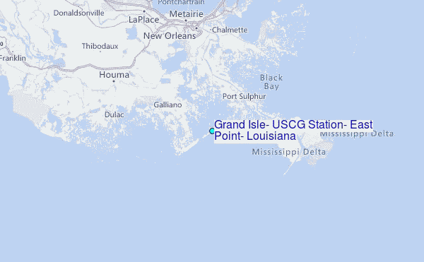