
| Distance / Altitude | Location | Report Date / Time | Live Weather | Wind | Gusts | Temp. | Visibility | Cloud |
|---|---|---|---|---|---|---|---|---|
| 12 km WNW / 218 m | White Plains Airport (New York) | 2026-04-29 07:56 local (2026/04/29 11:56 GMT) | - | light winds from the ESE (13 km/h at 120) | 11°C | 16 | few few | |
| 23 km SSW / 3 m | BUOY-KPTN6 (Marine) | 2026-04-29 09:00 local (2026/04/29 13:00 GMT) | calm (5 km/h at 310) | 11°C | - | |||
| 28 km NE / 30 m | Westport (Connecticut) | 2026-04-29 07:14 local (2026/04/29 11:14 GMT) | dry | calm (0 km/h at 148) | 9°C | - | - - 0 | |
| 32 km SSE / 218 m | Farmingdale Airport (New York) | 2026-04-29 07:53 local (2026/04/29 11:53 GMT) | Dry and partly cloudy | light winds from the E (6 km/h at 80) | 12°C | 16 | scattered | |
| 32 km SSW / 218 m | New York City La Guardia Airport (New York) | 2026-04-29 07:51 local (2026/04/29 11:51 GMT) | Dry and partly cloudy | light winds from the SE (11 km/h at 140) | 12°C | 16 | scattered scattered broken | |
| 32 km SSE / 22 m | Farmingdale (New York) | 2026-04-29 09:44 local (2026/04/29 13:44 GMT) | - | calm (3 km/h at 103) | — | - | - - 0 | |
| 34 km SE / 283 m | Brookhaven Lab Airport (New York) | 2026-04-29 08:35 local (2026/04/29 12:35 GMT) | - | wind obs. (11 kph from 210 degs) was rejected (- km/h at -) | — | 0.0 | broken | |
| 37 km SSW / 33 m | Middle Village (New York) | 2026-04-29 09:38 local (2026/04/29 13:38 GMT) | dry | calm (3 km/h at 181) | 18°C | - | - - 0 | |
| 37 km SSW / 219 m | New Your City/Central Park Airport (New York) | 2026-04-29 07:51 local (2026/04/29 11:51 GMT) | Clear | light winds from the SE (6 km/h at 130) | 12°C | 16 | ||
| 39 km SW / 215 m | Teterboro Airport (New Jersey) | 2026-04-29 07:51 local (2026/04/29 11:51 GMT) | Clear | light winds from the SE (6 km/h at 130) | 13°C | 16 |
| Contours: | Roads & Rivers: | Select a
tide station / surf break / city |
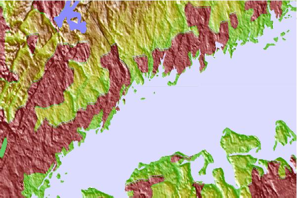
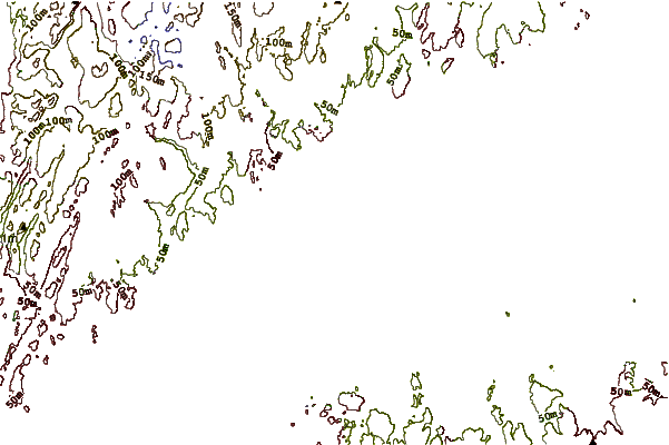
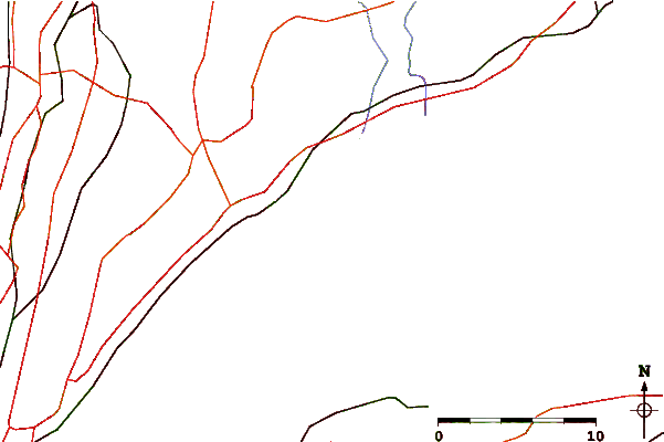
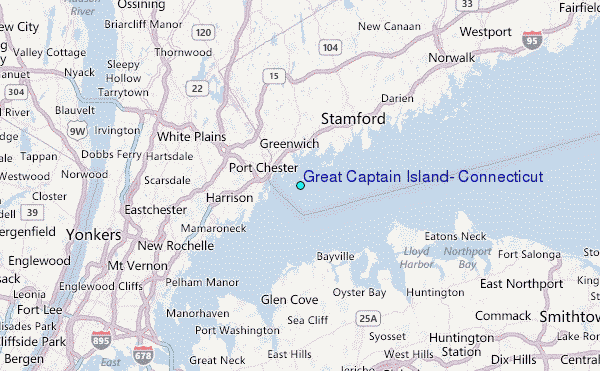
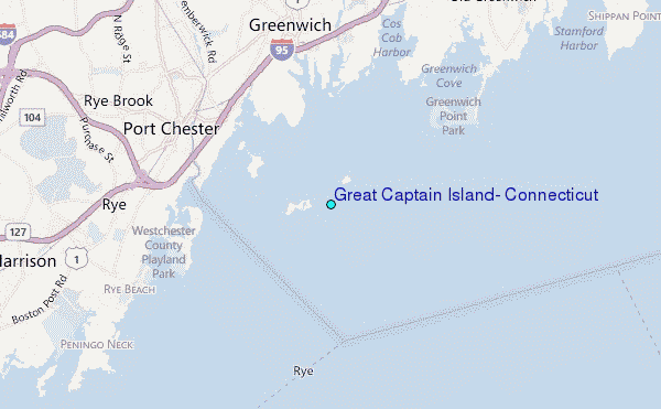
Use this relief map to navigate to tide stations, surf breaks and cities that are in the area of Great Captain Island, Connecticut.
Other Nearby Locations' tide tables and tide charts to Great Captain Island, Connecticut:
click location name for more details
 Surf breaks close to Great Captain Island, Connecticut:
|
||
|---|---|---|
| Closest surf break | Lido Beach | 27 mi |
| Second closest surf break | Lido West | 27 mi |
| Third closest surf break | Connecticut Street Jetty | 28 mi |
| Fourth closest surf break | Gilgo | 28 mi |
| Fifth closest surf break | Grand Blvd | 28 mi |


 Nearest
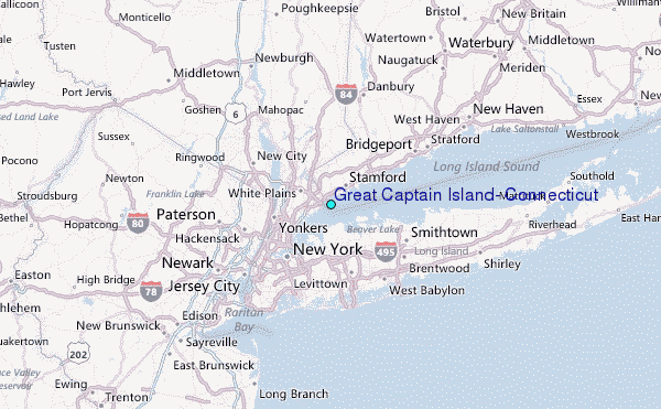