
| Distance / Altitude | Location | Report Date / Time | Live Weather | Wind | Gusts | Temp. | Visibility | Cloud |
|---|---|---|---|---|---|---|---|---|
| 15 km E / 15 m | SHIP3353 (Marine) | 2025-12-26 16:00 local (2025/12/26 05:00 GMT) | fresh winds from the SW (33.480000000000004 km/h at 220) | 16°C | 17.7 km | |||
| 17 km ESE / 97 m | WilsonsPromontoryLighthouse (Australia) | 2025-12-26 16:00 local (2025/12/26 05:00 GMT) | no report | fresh winds from the SW (35 km/h at 230) | 13°C | - | - no observation - | |
| 31 km N / 14 m | Yanakie (Australia) | 2025-12-26 16:00 local (2025/12/26 05:00 GMT) | - | - (- km/h at -) | — | - | - | |
| 62 km WNW / 4 m | Pound Creek (Australia) | 2025-12-26 16:00 local (2025/12/26 05:00 GMT) | - | moderate winds from the SSW (24 km/h at 210) | — | - | - no observation - | |
| 67 km ESE / 117 m | HoganIsland (Australia) | 2025-12-26 16:00 local (2025/12/26 05:00 GMT) | no report | moderate winds from the WSW (22 km/h at 240) | 15°C | - | - no observation - | |
| 32 km E / 15 m | SHIP3757 (Marine) | 2025-12-26 15:00 local (2025/12/26 04:00 GMT) | - (- km/h at -) | — | - km | |||
| 32 km E / 15 m | SHIP7944 (Marine) | 2025-12-26 15:00 local (2025/12/26 04:00 GMT) | - (- km/h at -) | — | - km | |||
| 50 km E / 15 m | SHIP4163 (Marine) | 2025-12-26 14:00 local (2025/12/26 03:00 GMT) | - (- km/h at -) | — | - km | |||
| 50 km E / 3 m | SHIP4476 (Marine) | 2025-12-26 14:00 local (2025/12/26 03:00 GMT) | - (- km/h at -) | 13°C | - | |||
| 50 km E / 15 m | SHIP6076 (Marine) | 2025-12-26 14:00 local (2025/12/26 03:00 GMT) | - (- km/h at -) | — | - km |
| Contours: | Roads & Rivers: | Select a
tide station / surf break / city |
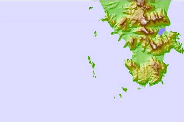
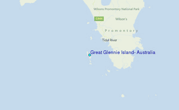
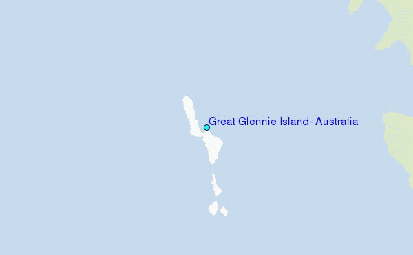
Use this relief map to navigate to tide stations, surf breaks and cities that are in the area of Great Glennie Island, Australia.
Other Nearby Locations' tide tables and tide charts to Great Glennie Island, Australia:
click location name for more details
 Surf breaks close to Great Glennie Island, Australia:
|
||
|---|---|---|
| Closest surf break | Norman Bay (Wilsons Promontory) | 6 mi |
| Second closest surf break | Picnic Bay (Wilsons Promontory) | 6 mi |
| Third closest surf break | Squeaky Beach (Wilsons Promontory) | 6 mi |
| Fourth closest surf break | Oberon Bay (Wilsons Promontory) | 6 mi |
| Fifth closest surf break | Buckleys Reef (Wilsons Promontory) | 7 mi |


 Nearest
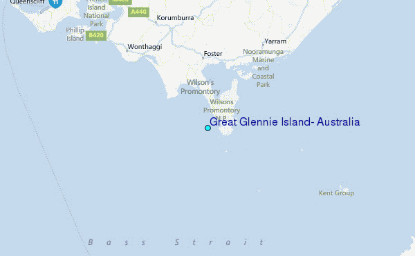