| Distance / Altitude | Location | Report Date / Time | Live Weather | Wind | Gusts | Temp. | Visibility | Cloud |
|---|---|---|---|---|---|---|---|---|
| 5 km ESE / 28 m | Fairhope Airport (Alabama) (Alabama) | 2026-05-09 19:35 local (2026/05/10 00:35 GMT) | Light rain | calm (0 km/h at 0) | 20°C | 16 | scattered broken overcast | |
| 6 km E / 43 m | Eastern Shore Mobile Home Village wx (United States) | 2026-05-09 19:45 local (2026/05/10 00:45 GMT) | dry | calm (0 km/h at 0) | 21°C | - | - - 0 | |
| 9 km SSW / 3 m | BUOY-EFLA1 (Marine) | 2026-05-09 19:30 local (2026/05/10 00:30 GMT) | - (- km/h at -) | 22°C | 10.9 | |||
| 12 km ENE / 37 m | La Bonne Vie Mobile Home Park wx (United States) | 2026-05-09 20:12 local (2026/05/10 01:12 GMT) | dry | calm (0 km/h at 202) | 21°C | - | - - 0 | |
| 12 km SE / 3 m | BUOY-WKXA1 (Marine) | 2026-05-09 18:45 local (2026/05/09 23:45 GMT) | calm (2 km/h at 110) | 21°C | - | |||
| 16 km W / 3 m | BUOY-MBPA1 (Marine) | 2026-05-09 19:30 local (2026/05/10 00:30 GMT) | - (- km/h at -) | 21°C | 10.9 | |||
| 18 km E / 35 m | Country Living Mobile Home Park wx (United States) | 2026-05-09 19:32 local (2026/05/10 00:32 GMT) | dry | calm (0 km/h at 344) | 21°C | - | - - 0 | |
| 20 km ENE / 27 m | Robertsdale (Alabama) | 2026-05-09 20:05 local (2026/05/10 01:05 GMT) | dry | calm (0 km/h at 276) | 20°C | - | - - 0 | |
| 20 km WNW / 217 m | Mobile/Brookely Airport (Alabama) | 2026-05-09 19:11 local (2026/05/10 00:11 GMT) | Light rain | light winds from the NW (7 km/h at 320) | 21°C | 16 | broken overcast | |
| 21 km N / 12 m | Fort McDermott wx (United States) | 2026-05-09 20:14 local (2026/05/10 01:14 GMT) | dry | calm (0 km/h at 106) | 20°C | - | - - 0 |
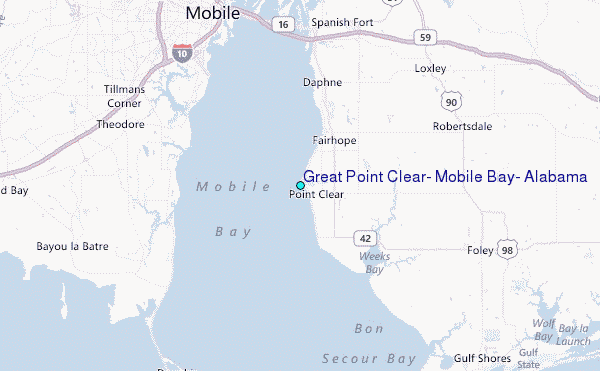
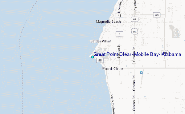
Choose Great Point Clear, Mobile Bay, Alabama Location Map Zoom:
| Contours: | Roads & Rivers: | Select a
tide station / surf break / city |
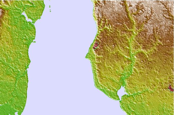
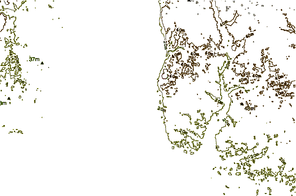
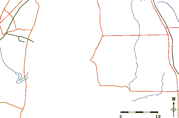
Use this relief map to navigate to tide stations, surf breaks and cities that are in the area of Great Point Clear, Mobile Bay, Alabama.
Other Nearby Locations' tide tables and tide charts to Great Point Clear, Mobile Bay, Alabama:
click location name for more details
 Surf breaks close to Great Point Clear, Mobile Bay, Alabama:
|
||
|---|---|---|
| Closest surf break | Dauphin Island Pier | 19 mi |
| Second closest surf break | West Pass | 21 mi |
| Third closest surf break | Terry s Cove | 25 mi |
| Fourth closest surf break | Alabama Point | 27 mi |
| Fifth closest surf break | Spuds | 27 mi |


 Nearest
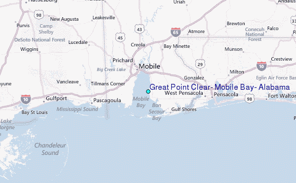