
| Distance / Altitude | Location | Report Date / Time | Live Weather | Wind | Gusts | Temp. | Visibility | Cloud |
|---|---|---|---|---|---|---|---|---|
| 45 km SSW / 0 m | lightning 131km W of Port Lincoln (Australia) | 2026-07-01 07:04 local (2026/06/30 21:34 GMT) | Thunderstorm | (- km/h at -) | — | |||
| 96 km ENE / 61 m | Cummins Aerodrome (Australia) | 2026-07-01 06:30 local (2026/06/30 21:00 GMT) | no report | wind obs. (11 kph from 210 degs) was rejected (- km/h at -) | 10°C | - | - | |
| 96 km ENE / 61 m | Cummins Aerodrome (Australia) | 2026-07-01 06:30 local (2026/06/30 21:00 GMT) | no report | wind obs. (11 kph from 210 degs) was rejected (- km/h at -) | 10°C | - | - | |
| 101 km E / 8 m | Port Lincoln (Australia) | 2026-07-01 06:30 local (2026/06/30 21:00 GMT) | no report | wind obs. (7 kph from 200 degs) was rejected (- km/h at -) | 13°C | - | - - - | |
| 144 km ESE / 32 m | Neptune Island Lighthouse (Australia) | 2026-07-01 06:30 local (2026/06/30 21:00 GMT) | no report | wind obs. (17 kph from 170 degs) was rejected (- km/h at -) | 13°C | - | - - - | |
| 185 km NNE / 120 m | Kyancutta (Australia) | 2026-07-01 06:30 local (2026/06/30 21:00 GMT) | no report | wind obs. (19 kph from 200 degs) was rejected (- km/h at -) | 17°C | 35 | - | |
| 188 km NNE / 87 m | Wudinna Aerodrome (Australia) | 2026-07-01 06:30 local (2026/06/30 21:00 GMT) | no report | wind obs. (13 kph from 220 degs) was rejected (- km/h at -) | 10°C | - | - - - | |
| 190 km ENE / 176 m | Cleve Aerodrome (Australia) | 2026-07-01 06:30 local (2026/06/30 21:00 GMT) | no report | wind obs. (13 kph from 210 degs) was rejected (- km/h at -) | 11°C | - | - | |
| 203 km N / 166 m | Minnipa (Australia) | 2026-07-01 06:30 local (2026/06/30 21:00 GMT) | no report | wind obs. (15 kph from 210 degs) was rejected (- km/h at -) | 11°C | - | - - - | |
| 206 km SE / 158 m | Cape Borda (Australia) | 2026-07-01 06:30 local (2026/06/30 21:00 GMT) | no report | wind obs. (17 kph from 160 degs) was rejected (- km/h at -) | 10°C | - | - - - |
| Contours: | Roads & Rivers: | Select a
tide station / surf break / city |
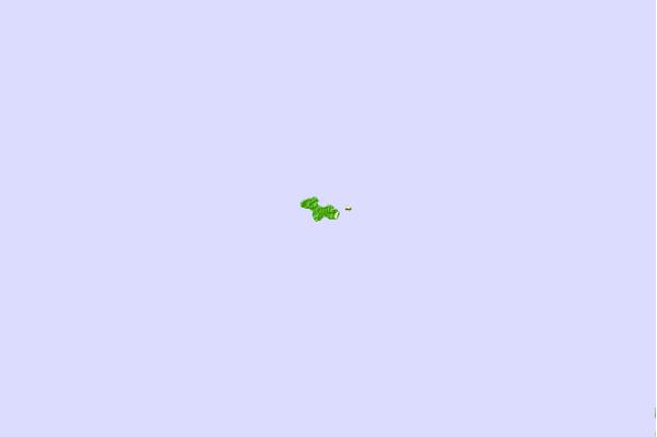
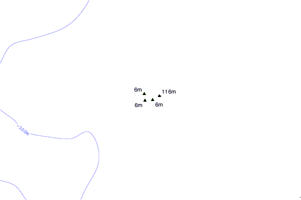
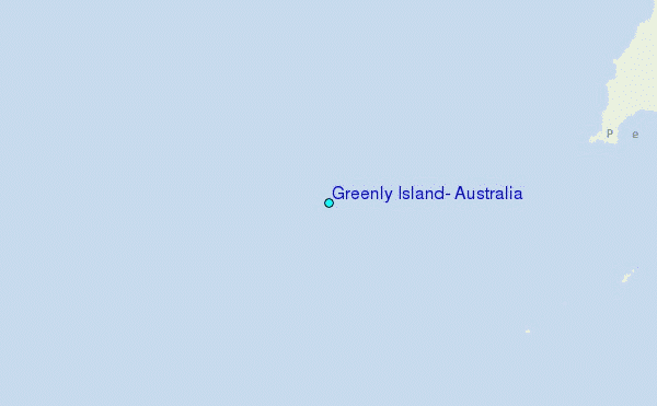
Use this relief map to navigate to tide stations, surf breaks and cities that are in the area of Greenly Island, Australia.
Other Nearby Locations' tide tables and tide charts to Greenly Island, Australia:
click location name for more details
 Surf breaks close to Greenly Island, Australia:
|
||
|---|---|---|
| Closest surf break | Coffin Bay Peninsula | 21 mi |
| Second closest surf break | Flatrock | 31 mi |
| Third closest surf break | Greenly Beach (Coles Point) | 39 mi |
| Fourth closest surf break | Drummond Point | 44 mi |
| Fifth closest surf break | Monument | 52 mi |


 Nearest
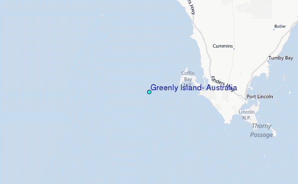