
| Distance / Altitude | Location | Report Date / Time | Live Weather | Wind | Gusts | Temp. | Visibility | Cloud |
|---|---|---|---|---|---|---|---|---|
| 28 km NE / -152 m | Stephens Island Automatic Weather Station (New Zealand) | 2025-12-26 12:00 local (2025/12/25 23:00 GMT) | Continuous light rain | wind obs. (7 kph from 210 degs) was rejected (- km/h at -) | 15°C | - | - no observation - | |
| 69 km SSW / 6 m | NelsonAeroAws (New Zealand) | 2025-12-26 12:00 local (2025/12/25 23:00 GMT) | Clear skies | moderate winds from the NE (28 km/h at 40) | 19°C | 10 km | no observation | |
| 73 km S / 50 m | Blenheim (New Zealand) | 2025-12-26 12:16 local (2025/12/25 23:16 GMT) | dry | wind obs. (6 kph from 284 degs) was rejected (- km/h at -) | 19°C | - | - - 0 | |
| 76 km W / 5 m | FarewellSpitAws (New Zealand) | 2025-12-26 12:00 local (2025/12/25 23:00 GMT) | Moderate to heavy rain showers | moderate winds from the WNW (20 km/h at 300) | 17°C | - | - no observation - | |
| 92 km ESE / 116 m | Wellington (New Zealand) | 2025-12-26 12:45 local (2025/12/25 23:45 GMT) | light rain | wind obs. (3 kph from 303 degs) was rejected (- km/h at -) | 16°C | - | - - 0 | |
| 93 km ESE / 131 m | Wilton wx (New Zealand) | 2025-12-26 13:03 local (2025/12/26 00:03 GMT) | light rain | moderate winds from the N (23 km/h at 10) | 17°C | - | - - 0 | |
| 94 km ESE / 20 m | Paremata (New Zealand) | 2025-12-26 12:39 local (2025/12/25 23:39 GMT) | dry | wind obs. (21 kph from 216 degs) was rejected (- km/h at -) | 17°C | - | - - 0 | |
| 97 km E / 267 m | Paekakariki (New Zealand) | 2025-12-26 13:00 local (2025/12/26 00:00 GMT) | - | wind obs. (83 kph from 327 degs) was rejected (- km/h at -) | 15°C | - | - - 0 | |
| 97 km ESE / 15 m | SHIP8035 (Marine) | 2025-12-26 12:00 local (2025/12/25 23:00 GMT) | - (- km/h at -) | — | - km | |||
| 97 km ESE / 15 m | SHIP8849 (Marine) | 2025-12-26 11:00 local (2025/12/25 22:00 GMT) | - (- km/h at -) | — | - km |
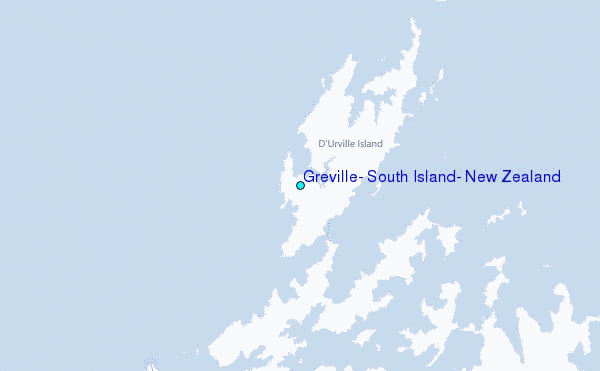
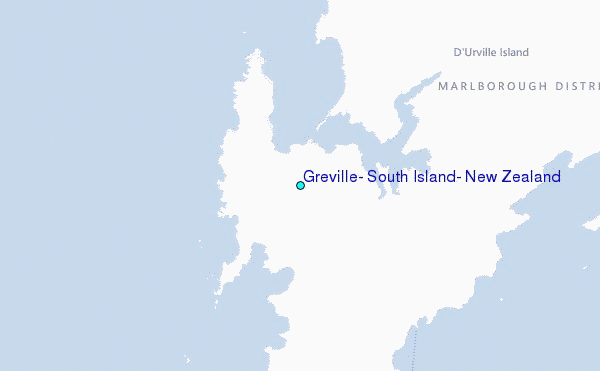
Choose Greville, South Island, New Zealand Location Map Zoom:
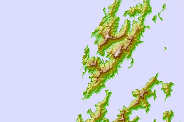
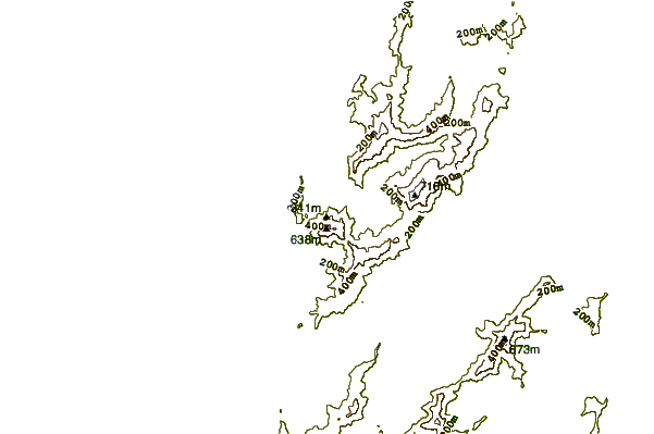
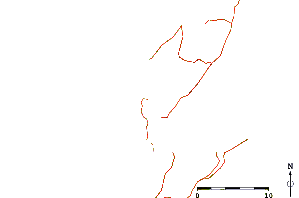
| Contours: | Roads & Rivers: | Select a
tide station / surf break / city |
Use this relief map to navigate to tide stations, surf breaks and cities that are in the area of Greville, South Island, New Zealand.
Other Nearby Locations' tide tables and tide charts to Greville, South Island, New Zealand:
click location name for more details
 Surf breaks close to Greville, South Island, New Zealand:
|
||
|---|---|---|
| Closest surf break | Whangamoa | 22 mi |
| Second closest surf break | Magnets | 23 mi |
| Third closest surf break | Delaware Bay (East end) | 27 mi |
| Fourth closest surf break | Delaware Bay Point | 27 mi |
| Fifth closest surf break | Cable Bay | 29 mi |


 Nearest
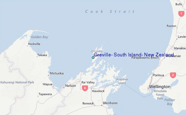