
| Distance / Altitude | Location | Report Date / Time | Live Weather | Wind | Gusts | Temp. | Visibility | Cloud |
|---|---|---|---|---|---|---|---|---|
| 36 km S / 40 m | HokitikaAeroAws (New Zealand) | 2026-05-25 03:00 local (2026/05/24 15:00 GMT) | Clear skies | light winds from the S (6 km/h at 170) | 10°C | 10 km | no observation | |
| 83 km NNE / 5 m | WestportAeroAws (New Zealand) | 2026-05-25 03:00 local (2026/05/24 15:00 GMT) | Clear skies | light winds from the SSE (7 km/h at 150) | 9°C | 20 km | no observation | |
| 120 km SSE / 375 m | Springfield (New Zealand) | 2026-05-25 03:00 local (2026/05/24 15:00 GMT) | - | wind obs. (19 kph from 228 degs) was rejected (- km/h at -) | 3°C | - | - - 0 | |
| 124 km SE / 287 m | Oxford wx (New Zealand) | 2026-05-25 03:09 local (2026/05/24 15:09 GMT) | - | calm (2 km/h at 284) | 1°C | - | - - 0 | |
| 143 km SSE / 150 m | Darfield (New Zealand) | 2026-05-25 02:45 local (2026/05/24 14:45 GMT) | - | calm (0 km/h at 323) | 1°C | - | - - 0 | |
| 158 km SE / 210 m | Christchurch International Airport (New Zealand) | 2026-05-25 02:30 local (2026/05/24 14:30 GMT) | - | calm (4 km/h at 330) | — | 0.2 | ||
| 159 km SE / 36 m | ChristchurchAeroAws (New Zealand) | 2026-05-25 03:00 local (2026/05/24 15:00 GMT) | Slight to moderate duststorm, decreasing in intensity | light winds from the WNW (6 km/h at 300) | 1°C | 200 m | - no observation - | |
| 167 km SE / 23 m | Lincoln Broadfield (New Zealand) | 2026-05-25 03:00 local (2026/05/24 15:00 GMT) | no report | light winds from the NE (19 km/h at 40) | 10°C | - | - - - | |
| 171 km SE / 12 m | Christchurch (New Zealand) | 2026-05-25 03:48 local (2026/05/24 15:48 GMT) | dry | calm (0 km/h at 270) | 9°C | - | - - 0 | |
| 172 km S / 656 m | Mount Cook Aerodrome Automatic Weather Station (New Zealand) | 2026-05-25 03:00 local (2026/05/24 15:00 GMT) | - | calm (4 km/h at 230) | 2°C | - | no observation |
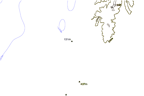
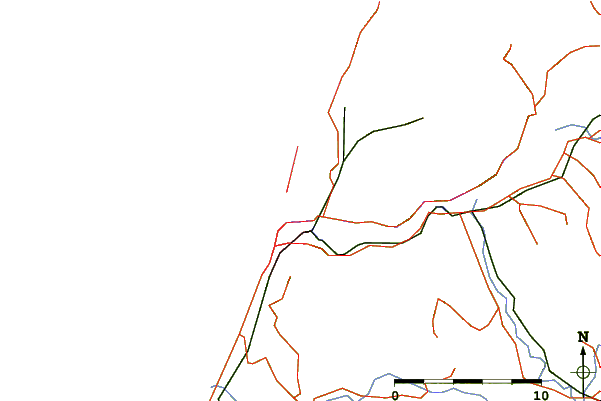
| Contours: | Roads & Rivers: | Select a
tide station / surf break / city |

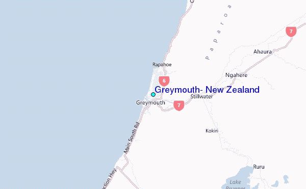
Use this relief map to navigate to tide stations, surf breaks and cities that are in the area of Greymouth, New Zealand.
Other Nearby Locations' tide tables and tide charts to Greymouth, New Zealand:
click location name for more details
 Surf breaks close to Greymouth, New Zealand:
|
||
|---|---|---|
| Closest surf break | Blaketown Wedge | 1 mi |
| Second closest surf break | Cobden Beach - The Channel | 1 mi |
| Third closest surf break | Cobden Breakwater | 1 mi |
| Fourth closest surf break | Wavetraps | 1 mi |
| Fifth closest surf break | Point Elizabeth | 4 mi |


 Nearest