
| Distance / Altitude | Location | Report Date / Time | Live Weather | Wind | Gusts | Temp. | Visibility | Cloud |
|---|---|---|---|---|---|---|---|---|
| 4 km WNW / 223 m | Guaymas International Airport (Mexico) | 2026-05-03 05:43 local (2026/05/03 12:43 GMT) | - | calm (0 km/h at 0) | — | 16 | ||
| 120 km ESE / 151 m | Ciudad Obregón Airport (Mexico) | 2026-05-03 06:40 local (2026/05/03 13:40 GMT) | - | calm (0 km/h at 0) | — | 16 | ||
| 127 km N / 282 m | Hermosillo International Airport (Mexico) | 2026-05-03 06:40 local (2026/05/03 13:40 GMT) | Dry and partly cloudy | calm (0 km/h at 0) | 23°C | 16 | scattered broken - | |
| 128 km N / 211 m | Hermosillo- Son. (Mexico) | 2026-05-03 05:00 local (2026/05/03 12:00 GMT) | no report | calm (4 km/h at 240) | 30°C | 8 | - | |
| 133 km N / 284 m | Santa Inés wx (Mexico) | 2026-05-03 07:08 local (2026/05/03 14:08 GMT) | dry | calm (0 km/h at 220) | 23°C | - | - - 0 | |
| 216 km S / 135 m | Loreto Airport (Mexico) | 2026-05-03 06:40 local (2026/05/03 13:40 GMT) | - | light winds from the W (15 km/h at 270) | 24°C | 16 | few | |
| 287 km ESE / 238 m | Choix- Sin. (Mexico) | 2026-05-03 05:00 local (2026/05/03 12:00 GMT) | - | - (- km/h at -) | — | 10 | - - - | |
| 309 km SE / 180 m | Los Mochis Airport (Mexico) | 2026-05-03 06:40 local (2026/05/03 13:40 GMT) | - | light winds from the E (9 km/h at 80) | — | 13 | ||
| 321 km ENE / 1932 m | Temosachic (Mexico) | 2026-05-03 05:00 local (2026/05/03 12:00 GMT) | - | - (- km/h at -) | — | 500 | - - - | |
| 337 km E / 2131 m | El Seis wx (Mexico) | 2026-05-03 06:50 local (2026/05/03 13:50 GMT) | dry | calm (0 km/h at 267) | 4°C | - | - - 0 |
| Contours: | Roads & Rivers: | Select a
tide station / surf break / city |
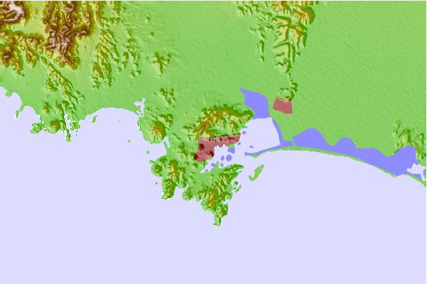
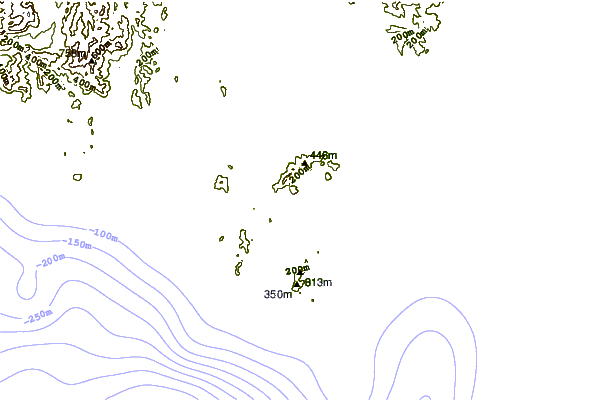
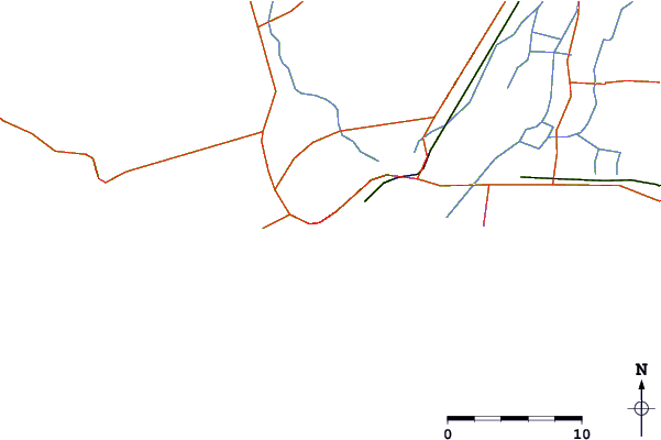
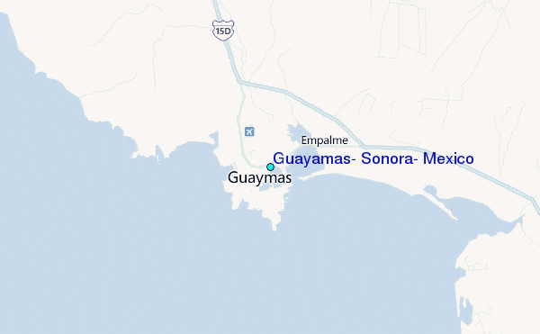
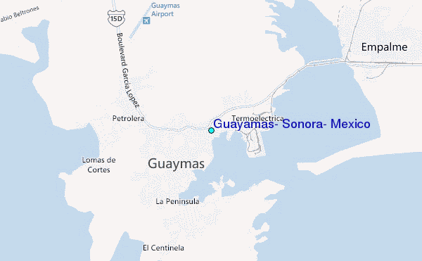
Use this relief map to navigate to tide stations, surf breaks and cities that are in the area of Guayamas, Sonora, Mexico.
Other Nearby Locations' tide tables and tide charts to Guayamas, Sonora, Mexico:
click location name for more details
 Surf breaks close to Guayamas, Sonora, Mexico:
|
||
|---|---|---|
| Closest surf break | Scorpion Bay (San Juanico) | 154 mi |
| Second closest surf break | La Laguna | 154 mi |
| Third closest surf break | Punta San Gregorio | 155 mi |
| Fourth closest surf break | Las Barrancas | 157 mi |
| Fifth closest surf break | Punta Santo Domingo | 157 mi |


 Nearest
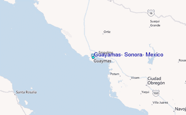