
| Distance / Altitude | Location | Report Date / Time | Live Weather | Wind | Gusts | Temp. | Visibility | Cloud |
|---|---|---|---|---|---|---|---|---|
| 5 km SSW / 5 m | Haast Automatic Weather Station (New Zealand) | 2025-12-26 18:00 local (2025/12/26 05:00 GMT) | - | light winds from the E (7 km/h at 100) | 13°C | - | - no observation - | |
| 18 km E / 655 m | lightning 99km N of Wanaka (New Zealand) | 2025-12-26 17:48 local (2025/12/26 04:48 GMT) | Thunderstorm | (- km/h at -) | — | |||
| 87 km E / 656 m | Mount Cook Aerodrome Automatic Weather Station (New Zealand) | 2025-12-26 18:00 local (2025/12/26 05:00 GMT) | - | moderate winds from the NNW (26 km/h at 330) | — | - | - no observation - | |
| 90 km S / 524 m | treblecone (New Zealand) | 2025-12-26 18:00 local (2025/12/26 05:00 GMT) | - | light winds from the N (15 km/h at 8) | — | - | - - 0 | |
| 102 km SE / 485 m | Tara Hills Automatic Weather Station (New Zealand) | 2025-12-26 18:00 local (2025/12/26 05:00 GMT) | Continuous light rain | moderate winds from the WNW (20 km/h at 300) | 12°C | - | - no observation - | |
| 123 km S / 1500 m | Coronet Peak Summit (New Zealand) | 2025-12-26 18:00 local (2025/12/26 05:00 GMT) | - | calm (0 km/h at 242) | 5°C | - | - - 0 | |
| 124 km S / 1620 m | Coronet Peak Tandems (New Zealand) | 2025-12-26 18:00 local (2025/12/26 05:00 GMT) | - | wind obs. (19 kph from 186 degs) was rejected (- km/h at -) | 11°C | - | - - 0 | |
| 124 km S / 1200 m | Rocky Gully (New Zealand) | 2025-12-26 18:00 local (2025/12/26 05:00 GMT) | - | light winds from the W (19 km/h at 266) | 7°C | - | - - 0 | |
| 125 km S / 450 m | Flightpark (New Zealand) | 2025-12-26 18:00 local (2025/12/26 05:00 GMT) | - | moderate winds from the WSW (28 km/h at 244) | 17°C | - | - - 0 | |
| 126 km S / 370 m | Glenorchy (New Zealand) | 2025-12-26 18:00 local (2025/12/26 05:00 GMT) | - | light winds from the SSW (7 km/h at 196) | 15°C | - | - - 0 |
| Contours: | Roads & Rivers: | Select a
tide station / surf break / city |
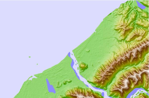
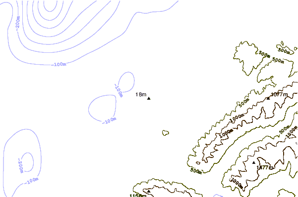
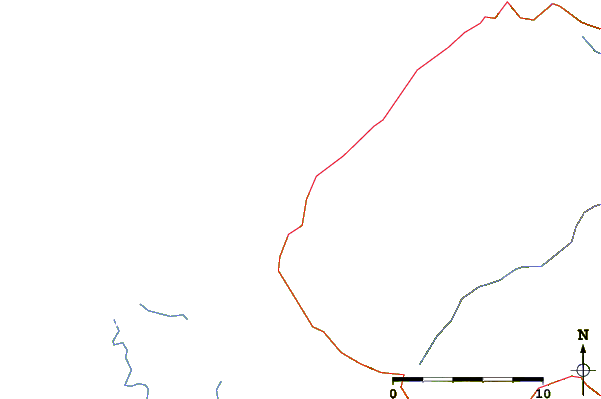
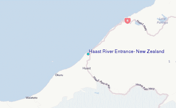
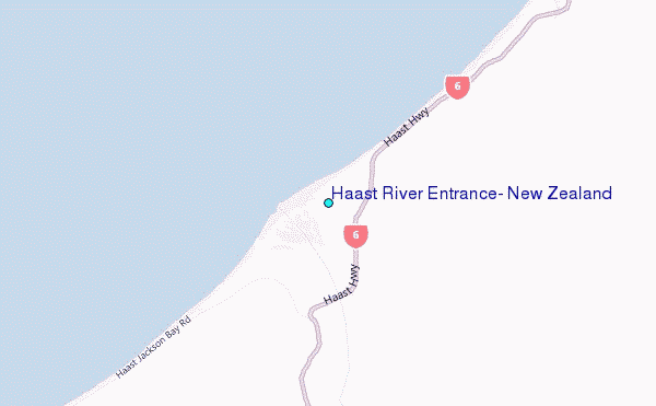
Use this relief map to navigate to tide stations, surf breaks and cities that are in the area of Haast River Entrance, New Zealand.
Other Nearby Locations' tide tables and tide charts to Haast River Entrance, New Zealand:
click location name for more details
 Surf breaks close to Haast River Entrance, New Zealand:
|
||
|---|---|---|
| Closest surf break | Haast Beach | 2 mi |
| Second closest surf break | Smoothwater Bay | 25 mi |
| Third closest surf break | Lake Pukaki Point | 59 mi |
| Fourth closest surf break | Okarito Beach | 70 mi |
| Fifth closest surf break | Smithfield | 116 mi |


 Nearest
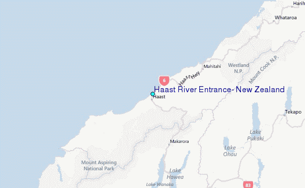