
| Distance / Altitude | Location | Report Date / Time | Live Weather | Wind | Gusts | Temp. | Visibility | Cloud |
|---|---|---|---|---|---|---|---|---|
| 38 km NE / 194 m | Togiak Airport (Alaska) | 2026-06-14 08:56 local (2026/06/14 16:56 GMT) | Dry and cloudy | light winds from the N (6 km/h at 10) | 9°C | 16 | overcast | |
| 41 km NE / 3 m | BUOY-TGXA2 (Marine) | 2026-06-14 10:32 local (2026/06/14 18:32 GMT) | calm (5 km/h at 340) | 10°C | - | |||
| 65 km W / 182 m | Platinum (AK) Airport (United States) | 2026-06-14 08:56 local (2026/06/14 16:56 GMT) | Light rain | light winds from the WNW (15 km/h at 290) | 8°C | 16 | overcast | |
| 76 km WSW / 646 m | Cape Newenham Airport (Alaska) | 2026-06-14 09:55 local (2026/06/14 17:55 GMT) | Dry and partly cloudy | calm (0 km/h at 0) | 7°C | 16 | broken | |
| 102 km ENE / 16 m | Manokotak Airport (Alaska) | 2026-06-14 08:56 local (2026/06/14 16:56 GMT) | Light rain | light winds from the NW (6 km/h at 320) | 9°C | 16 | broken overcast | |
| 125 km NW / 13 m | Quinhagak (AK) (Alaska) | 2026-06-14 08:56 local (2026/06/14 16:56 GMT) | Clear | wind obs. (19 kph from 240 degs) was rejected (- km/h at -) | 11°C | 16 | ||
| 128 km WNW / 3 m | SHIP3601 (Marine) | 2026-06-14 08:00 local (2026/06/14 16:00 GMT) | - (- km/h at -) | — | - | |||
| 128 km WNW / 15 m | SHIP6143 (Marine) | 2026-06-14 09:00 local (2026/06/14 17:00 GMT) | - (- km/h at -) | — | - km | |||
| 128 km WNW / 15 m | SHIP6509 (Marine) | 2026-06-14 08:00 local (2026/06/14 16:00 GMT) | - (- km/h at -) | — | - km | |||
| 128 km WNW / 3 m | SHIP9685 (Marine) | 2026-06-14 10:00 local (2026/06/14 18:00 GMT) | - (- km/h at -) | — | - |
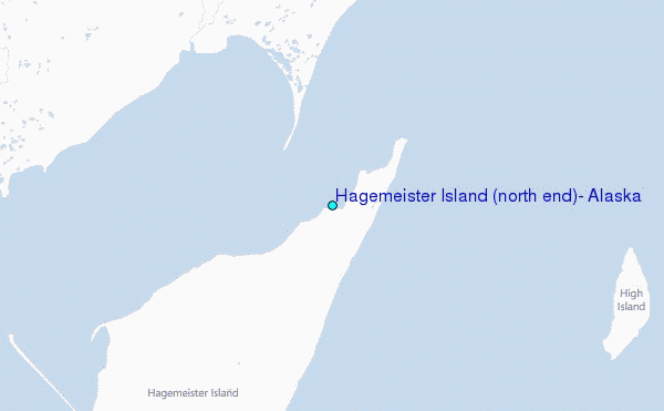
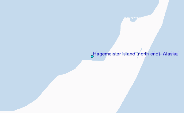
Choose Hagemeister Island (north end), Alaska Location Map Zoom:
| Contours: | Roads & Rivers: | Select a
tide station / surf break / city |
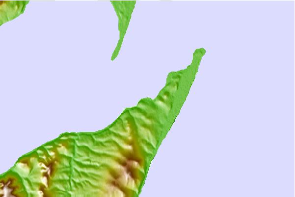
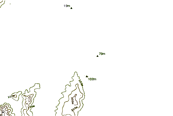
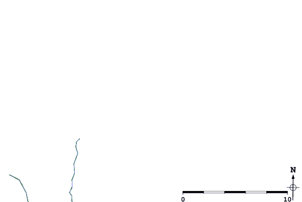
Use this relief map to navigate to tide stations, surf breaks and cities that are in the area of Hagemeister Island (north end), Alaska.
Other Nearby Locations' tide tables and tide charts to Hagemeister Island (north end), Alaska:
click location name for more details
 Surf breaks close to Hagemeister Island (north end), Alaska:
|
||
|---|---|---|
| Closest surf break | Monashka Bay | 310 mi |
| Second closest surf break | Termination Point | 310 mi |
| Third closest surf break | Mill Bay | 313 mi |
| Fourth closest surf break | Fossil Beach Kodiak | 321 mi |
| Fifth closest surf break | Bird Point (Tidal Bore) | 353 mi |


 Nearest
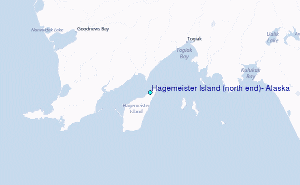