
| Distance / Altitude | Location | Report Date / Time | Live Weather | Wind | Gusts | Temp. | Visibility | Cloud |
|---|---|---|---|---|---|---|---|---|
| 1 km WNW / 62 m | Hallowell (Maine) | 2026-06-03 01:37 local (2026/06/03 05:37 GMT) | dry | calm (0 km/h at 0) | 12°C | - | - - 0 | |
| 2 km NW / 93 m | Hallowell wx (United States) | 2026-06-03 01:42 local (2026/06/03 05:42 GMT) | dry | calm (3 km/h at 180) | 16°C | - | - - 0 | |
| 4 km S / 30 m | Farmingdale wx (United States) | 2026-06-03 01:28 local (2026/06/03 05:28 GMT) | dry | calm (0 km/h at 0) | 12°C | - | - - 0 | |
| 4 km NW / 218 m | Augusta Airport (Maine) | 2026-06-03 00:53 local (2026/06/03 04:53 GMT) | Clear | calm (0 km/h at 0) | 16°C | 16 | ||
| 8 km WNW / 67 m | Manchester wx (United States) | 2026-06-03 01:14 local (2026/06/03 05:14 GMT) | dry | calm (0 km/h at 0) | 11°C | - | - - 0 | |
| 15 km ESE / 77 m | Keyes Corner wx (United States) | 2026-06-03 01:46 local (2026/06/03 05:46 GMT) | dry | calm (0 km/h at 336) | 11°C | - | - - 0 | |
| 28 km NNE / 187 m | Waterville Airport (Maine) | 2026-06-03 00:56 local (2026/06/03 04:56 GMT) | Clear | calm (0 km/h at 0) | 13°C | 16 | ||
| 29 km N / 150 m | Belgrade (Maine) | 2026-06-03 02:16 local (2026/06/03 06:16 GMT) | dry | calm (0 km/h at 35) | 12°C | - | - - 0 | |
| 30 km NNE / 40 m | Waterville wx (United States) | 2026-06-03 01:49 local (2026/06/03 05:49 GMT) | dry | calm (0 km/h at 66) | 11°C | - | - - 0 | |
| 32 km SSE / 54 m | Wiscasset (Maine) | 2026-06-03 01:25 local (2026/06/03 05:25 GMT) | dry | calm (0 km/h at 278) | 12°C | - | - - 0 |
| Contours: | Roads & Rivers: | Select a
tide station / surf break / city |
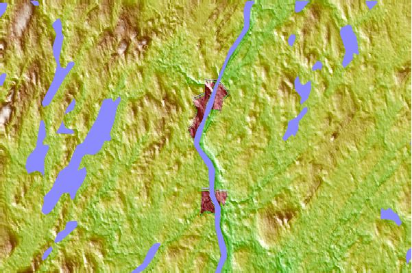
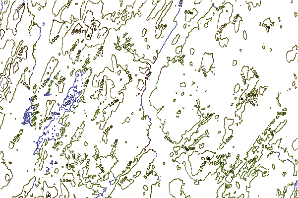
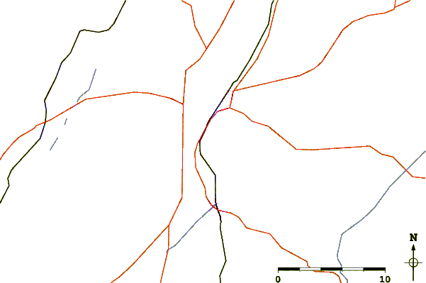
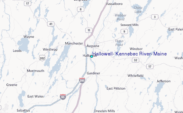
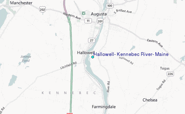
Use this relief map to navigate to tide stations, surf breaks and cities that are in the area of Hallowell, Kennebec River, Maine.
Other Nearby Locations' tide tables and tide charts to Hallowell, Kennebec River, Maine:
click location name for more details
 Surf breaks close to Hallowell, Kennebec River, Maine:
|
||
|---|---|---|
| Closest surf break | Popham Read | 38 mi |
| Second closest surf break | Trayhan's | 38 mi |
| Third closest surf break | Two Lights | 54 mi |
| Fourth closest surf break | Doc Browns | 55 mi |
| Fifth closest surf break | Higgins Beach | 56 mi |


 Nearest
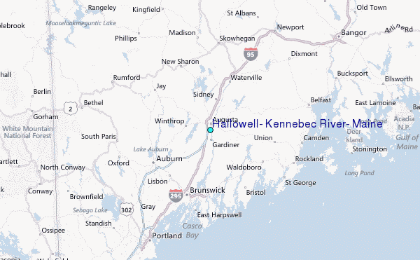