
| Distance / Altitude | Location | Report Date / Time | Live Weather | Wind | Gusts | Temp. | Visibility | Cloud |
|---|---|---|---|---|---|---|---|---|
| 9 km WNW / 215 m | Kake Airport (Alaska) | 2026-05-09 04:56 local (2026/05/09 12:56 GMT) | Moderate rain | light winds from the ESE (17 km/h at 110) | 9°C | 16 | broken broken overcast | |
| 41 km NNE / 3 m | BUOY-FFIA2 (Marine) | 2026-05-09 06:00 local (2026/05/09 14:00 GMT) | strong winds from the SSE (41 km/h at 150) | 10°C | - | |||
| 52 km ESE / 3 m | SHIP4810 (Marine) | 2026-05-09 05:00 local (2026/05/09 13:00 GMT) | calm (4 km/h at 320) | 9°C | - | |||
| 54 km ESE / 216 m | Petersburg Airport (Alaska) | 2026-05-09 04:56 local (2026/05/09 12:56 GMT) | Light rain | light winds from the E (9 km/h at 100) | 9°C | 13 | broken overcast | |
| 52 km ESE / 15 m | SHIP6933 (Marine) | 2026-05-09 05:00 local (2026/05/09 13:00 GMT) | calm (3.6 km/h at 320) | — | - km | |||
| 52 km ESE / 15 m | SHIP4116 (Marine) | 2026-05-09 04:00 local (2026/05/09 12:00 GMT) | light winds from the S (14.76 km/h at 180) | — | - km | |||
| 52 km ESE / 15 m | SHIP10931 (Marine) | 2026-05-09 04:00 local (2026/05/09 12:00 GMT) | light winds from the S (14.76 km/h at 180) | — | - km | |||
| 52 km ESE / 3 m | SHIP10076 (Marine) | 2026-05-09 05:00 local (2026/05/09 13:00 GMT) | calm (4 km/h at 60) | 9°C | - | |||
| 52 km ESE / 3 m | SHIP6325 (Marine) | 2026-05-09 04:00 local (2026/05/09 12:00 GMT) | light winds from the SSE (13 km/h at 150) | 10°C | - | |||
| 52 km ESE / 15 m | SHIP7727 (Marine) | 2026-05-09 04:00 local (2026/05/09 12:00 GMT) | light winds from the S (14.76 km/h at 180) | — | - km |
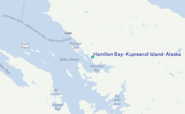
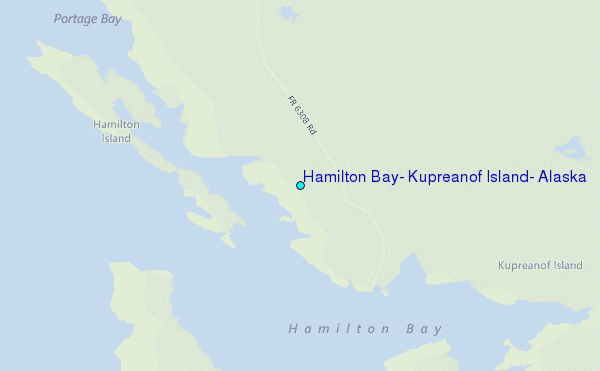
Choose Hamilton Bay, Kupreanof Island, Alaska Location Map Zoom:
| Contours: | Roads & Rivers: | Select a
tide station / surf break / city |
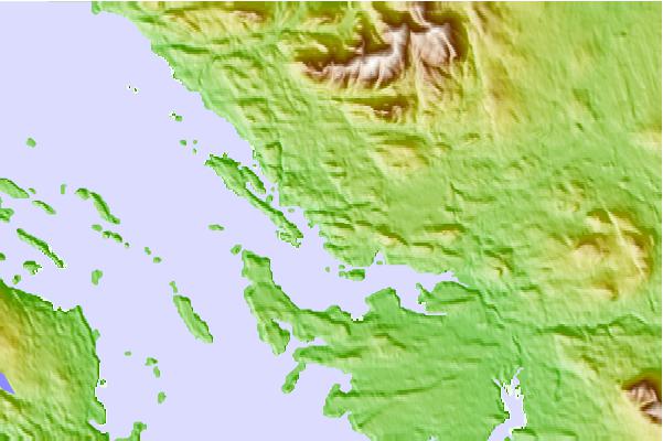
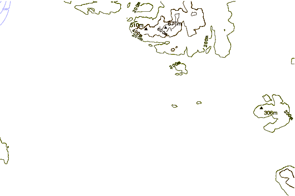
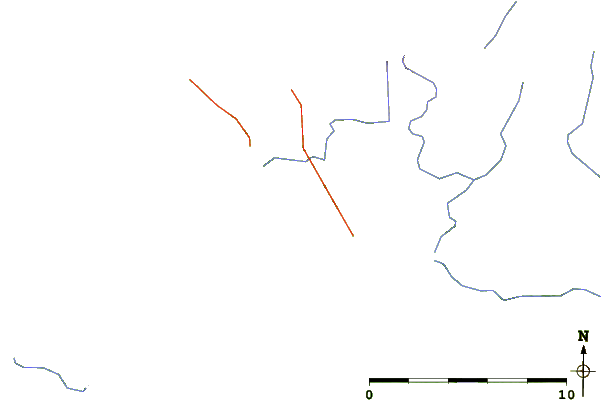
Use this relief map to navigate to tide stations, surf breaks and cities that are in the area of Hamilton Bay, Kupreanof Island, Alaska.
Other Nearby Locations' tide tables and tide charts to Hamilton Bay, Kupreanof Island, Alaska:
click location name for more details
 Surf breaks close to Hamilton Bay, Kupreanof Island, Alaska:
|
||
|---|---|---|
| Closest surf break | Lepus Beach (Haida-Gwaii) | 193 mi |
| Second closest surf break | Tow Hill Beach | 212 mi |
| Third closest surf break | Cannon Beach | 280 mi |
| Fourth closest surf break | Graveyards | 283 mi |
| Fifth closest surf break | Ocean Cape | 285 mi |


 Nearest
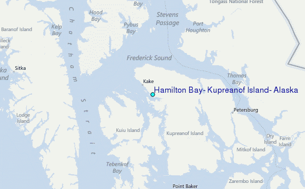