
| Distance / Altitude | Location | Report Date / Time | Live Weather | Wind | Gusts | Temp. | Visibility | Cloud |
|---|---|---|---|---|---|---|---|---|
| 1 km WSW / 185 m | Hammerfest Airport (Norway) | 2026-04-05 02:20 local (2026/04/05 00:20 GMT) | Light snow | light winds from the ENE (19 km/h at 60) | — | 10.0 | ||
| 2 km N / 79 m | Hammerfest AP (Norway) | 2026-04-05 03:00 local (2026/04/05 01:00 GMT) | no report | wind obs. (7 kph from 220 degs) was rejected (- km/h at -) | 6°C | - | - - - | |
| 43 km SSW / 20 m | Rognsundet (Norway) | 2026-04-05 03:00 local (2026/04/05 01:00 GMT) | - | wind obs. (36 kph from 270 degs) was rejected (- km/h at -) | — | - | - | |
| 46 km WSW / 320 m | Hasvik Sluskfjellet (Norway) | 2026-04-05 03:00 local (2026/04/05 01:00 GMT) | no report | wind obs. (25 kph from 260 degs) was rejected (- km/h at -) | 4°C | - | - | |
| 49 km NNE / 14 m | Fruholmen LH (Norway) | 2026-04-05 03:00 local (2026/04/05 01:00 GMT) | no report | wind obs. (29 kph from 110 degs) was rejected (- km/h at -) | 6°C | - | - - - | |
| 61 km SW / 6 m | Hasvik Airport (Norway) | 2026-04-05 03:00 local (2026/04/05 01:00 GMT) | Light snow | fresh winds from the ESE (31 km/h at 110) | 0°C | 10.0 | no cloud - - | |
| 78 km S / 3 m | Alta Lufthavn (Norway) | 2026-04-05 03:00 local (2026/04/05 01:00 GMT) | - | calm (4 km/h at 270) | — | - | - - - | |
| 79 km S / 186 m | Alta Airport (Norway) | 2026-04-05 02:20 local (2026/04/05 00:20 GMT) | Dry and partly cloudy | calm (4 km/h at 130) | -2°C | 10.0 | no cloud | |
| 82 km SE / 210 m | Banak Lakselv Air Base (Norway) | 2026-04-05 02:20 local (2026/04/05 00:20 GMT) | Light snow | calm (0 km/h at 0) | -3°C | 10.0 | few scattered broken | |
| 89 km WNW / 60 m | Goliat FPSO offshore platform (Norway) | 2026-04-05 02:20 local (2026/04/05 00:20 GMT) | - | fresh winds from the E.(Wind varies from 010 to 090 degs) (33 km/h at 80) | 1°C | 10.0 |
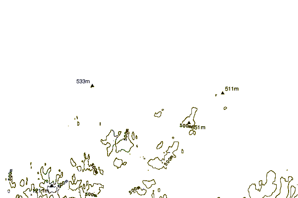
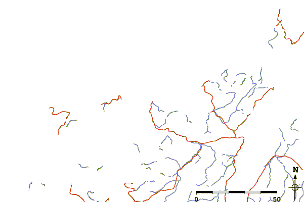
| Contours: | Roads & Rivers: | Select a
tide station / surf break / city |
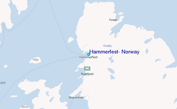
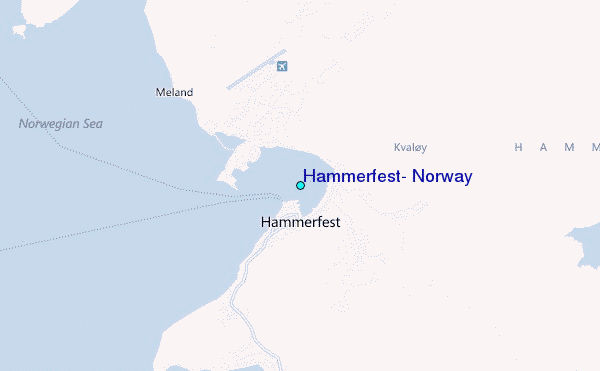
Use this relief map to navigate to tide stations, surf breaks and cities that are in the area of Hammerfest, Norway.
Other Nearby Locations' tide tables and tide charts to Hammerfest, Norway:
click location name for more details
 Surf breaks close to Hammerfest, Norway:
|
||
|---|---|---|
| Closest surf break | Kvalnes (Lofoten) | 284 mi |
| Second closest surf break | Unstad (Lofoten) | 295 mi |
| Third closest surf break | Seines | 333 mi |
| Fourth closest surf break | Monumentet | 359 mi |
| Fifth closest surf break | Poliisinlahti | 631 mi |


 Nearest
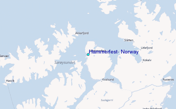