
| Distance / Altitude | Location | Report Date / Time | Live Weather | Wind | Gusts | Temp. | Visibility | Cloud |
|---|---|---|---|---|---|---|---|---|
| 4 km S / 218 m | Lihue/Kauai Island Airport (Hawaii) | 2026-04-04 21:53 local (2026/04/05 07:53 GMT) | Clear | moderate winds from the NE (26 km/h at 40) | 22°C | 16 | ||
| 6 km S / 3 m | BUOY-NWWH1 (Marine) | 2026-04-04 23:00 local (2026/04/05 09:00 GMT) | light winds from the NE (17 km/h at 50) | 22°C | - | |||
| 9 km NW / 122 m | Wailua Homesteads wx (United States) | 2026-04-04 23:29 local (2026/04/05 09:29 GMT) | dry | calm (0 km/h at 0) | 17°C | - | - - 0 | |
| 40 km WNW / 3 m | Hanalei- Kauai- HI (Marine) | 2026-04-04 23:26 local (2026/04/05 09:26 GMT) | - (- km/h at -) | — | - | |||
| 45 km WSW / 216 m | Barking Sands/Kauai Airport (Hawaii) | 2026-04-04 21:51 local (2026/04/05 07:51 GMT) | Dry and partly cloudy | calm (0 km/h at 0) | 21°C | 16 | broken | |
| 144 km ESE / 3 m | Barbers Point Buoy- Kalaeloa (Marine) | 2026-04-04 23:00 local (2026/04/05 09:00 GMT) | - (- km/h at -) | 22°C | - | |||
| 148 km ESE / 717 m | Wheeler Air Force Base/oahu Airport (Hawaii) | 2026-04-04 22:00 local (2026/04/05 08:00 GMT) | Dry and partly cloudy | light winds from the NNW (6 km/h at 330) | 18°C | 16 | scattered | |
| 151 km ESE / 218 m | Kalaeloa Airport (Hawaii) | 2026-04-04 21:53 local (2026/04/05 07:53 GMT) | Clear | light winds from the NNE (6 km/h at 30) | 19°C | 16 | ||
| 153 km ESE / 15 m | SHIP7424 (Marine) | 2026-04-04 23:00 local (2026/04/05 09:00 GMT) | moderate winds from the NE (27.720000000000002 km/h at 40) | 24°C | - km | |||
| 153 km ESE / - m | SHIP16 (ocean) | 2026-04-04 23:00 local (2026/04/05 09:00 GMT) | No report | light winds from the ENE (7 km/h at 60) | 22°C | - | no observation |
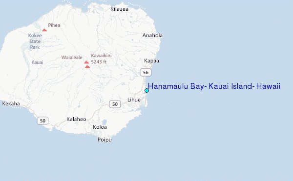
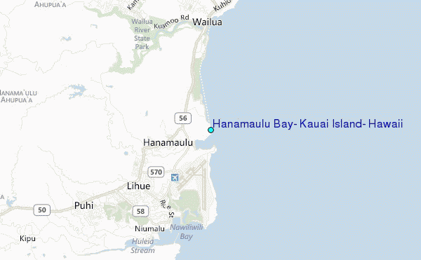
Choose Hanamaulu Bay, Kauai Island, Hawaii Location Map Zoom:
| Contours: | Roads & Rivers: | Select a
tide station / surf break / city |
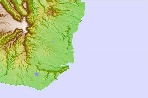
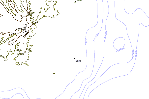
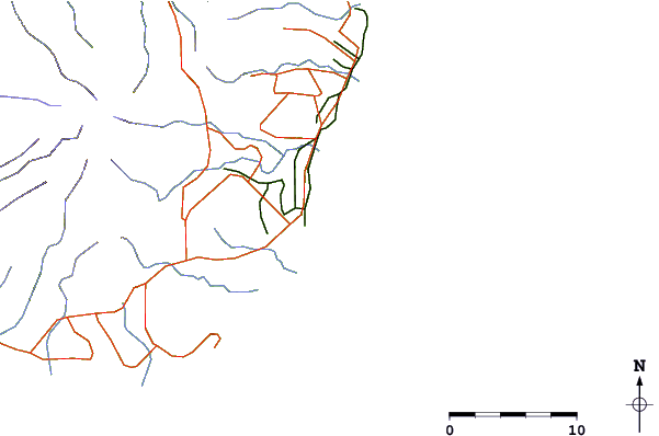
Use this relief map to navigate to tide stations, surf breaks and cities that are in the area of Hanamaulu Bay, Kauai Island, Hawaii.
Other Nearby Locations' tide tables and tide charts to Hanamaulu Bay, Kauai Island, Hawaii:
click location name for more details
 Surf breaks close to Hanamaulu Bay, Kauai Island, Hawaii:
|
||
|---|---|---|
| Closest surf break | Kalapaki Beach | 3 mi |
| Second closest surf break | Wailua/Horners | 3 mi |
| Third closest surf break | Ammonias | 4 mi |
| Fourth closest surf break | Kealia | 7 mi |
| Fifth closest surf break | Gillin's | 9 mi |


 Nearest
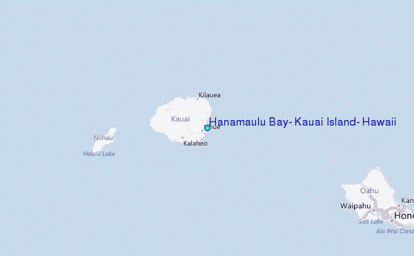