
| Distance / Altitude | Location | Report Date / Time | Live Weather | Wind | Gusts | Temp. | Visibility | Cloud |
|---|---|---|---|---|---|---|---|---|
| 2 km E / 5 m | Hao (French Polynesia) | 2025-12-25 02:30 local (2025/12/25 12:00 GMT) | no report | wind obs. (11 kph from 130 degs) was rejected (- km/h at -) | 23°C | 20 | - | |
| 5 km E / 3 m | Hao/tuamoto (mil (Samoa/polynesia) | 2025-12-25 03:00 local (2025/12/25 12:30 GMT) | - | fresh winds from the N (30 km/h at 360) | 28°C | 10.0 | ||
| 486 km WSW / 0 m | Anaa (French Polynesia) | 2025-12-25 02:30 local (2025/12/25 12:00 GMT) | no report | wind obs. (18 kph from 110 degs) was rejected (- km/h at -) | 24°C | - | - | |
| 590 km WNW / 3 m | Takaroa (French Polynesia) | 2025-12-25 02:30 local (2025/12/25 12:00 GMT) | no report | wind obs. (22 kph from 110 degs) was rejected (- km/h at -) | 26°C | - | - | |
| 842 km SE / 89 m | Mangareva (French Polynesia) | 2025-12-25 02:30 local (2025/12/25 12:00 GMT) | no report | wind obs. (7 kph from 270 degs) was rejected (- km/h at -) | 20°C | - | - | |
| 867 km WSW / 3 m | Taiarapu Est (French Polynesia (Society Islands)) | 2025-12-25 02:30 local (2025/12/25 12:00 GMT) | no report | wind obs. (7 kph from 140 degs) was rejected (- km/h at -) | 24°C | - | - | |
| 877 km S / - m | SHIP7 (ocean) | 2025-12-25 01:30 local (2025/12/25 11:00 GMT) | No report | fresh winds from the N (30 km/h at 0) | 24°C | - | no observation | |
| 877 km S / - m | SHIP749 (ocean) | 2025-12-25 01:30 local (2025/12/25 11:00 GMT) | No report | fresh winds from the N (30 km/h at 0) | 24°C | - | no observation | |
| 885 km S / - m | SHIP851 (ocean) | 2025-12-25 01:30 local (2025/12/25 11:00 GMT) | No report | moderate winds from the N (26 km/h at 360) | 24°C | - | no observation | |
| 885 km S / 15 m | SHIP4714 (Marine) | 2025-12-25 01:30 local (2025/12/25 11:00 GMT) | fresh winds from the N (29.52 km/h at 350) | 28°C | - km |
| Contours: | Roads & Rivers: | Select a
tide station / surf break / city |
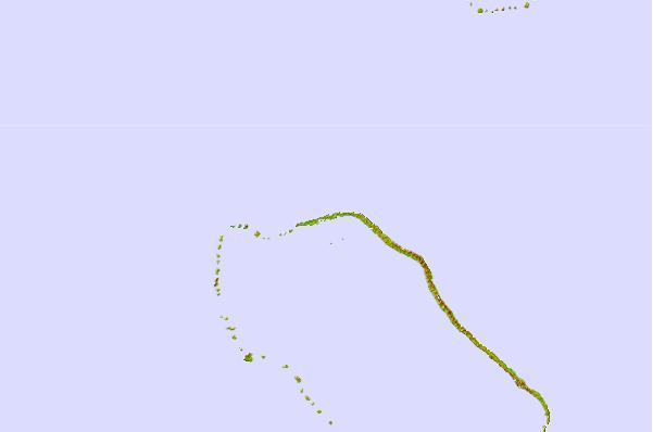
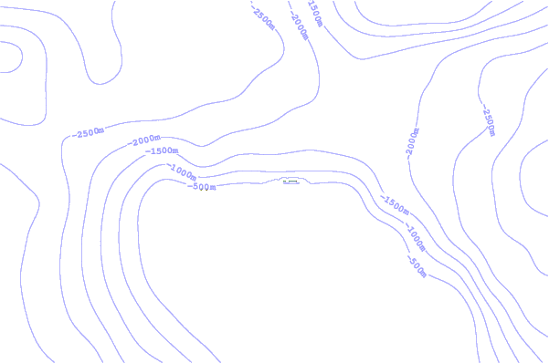
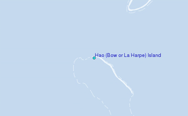
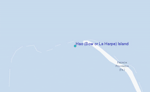
Use this relief map to navigate to tide stations, surf breaks and cities that are in the area of Hao (Bow or La Harpe) Island.
Other Nearby Locations' tide tables and tide charts to Hao (Bow or La Harpe) Island:
click location name for more details
 Surf breaks close to Hao (Bow or La Harpe) Island:
|
||
|---|---|---|
| Closest surf break | Teahupo’o | 544 mi |
| Second closest surf break | Vairao | 547 mi |
| Third closest surf break | Faaone | 548 mi |
| Fourth closest surf break | Ins and Outs | 549 mi |
| Fifth closest surf break | Papenoo Rivermouth (L'Embouchure) | 555 mi |


 Nearest
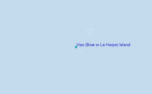