
| Distance / Altitude | Location | Report Date / Time | Live Weather | Wind | Gusts | Temp. | Visibility | Cloud |
|---|---|---|---|---|---|---|---|---|
| 23 km SSW / 170 m | Tees-side Airport (United Kingdom) | 2026-03-28 02:20 local (2026/03/28 02:20 GMT) | Dry and partly cloudy | light winds from the SW (11 km/h at 230) | 1°C | 10.0 | no cloud | |
| 39 km NE / 3 m | Tyne-Tees WaveNet Site (Marine) | 2026-03-28 02:30 local (2026/03/28 02:30 GMT) | - (- km/h at -) | — | - | |||
| 44 km ESE / 3 m | Whitby Waverider (Marine) | 2026-03-28 02:02 local (2026/03/28 02:02 GMT) | - (- km/h at -) | — | - | |||
| 48 km WNW / 219 m | Newcastle Airport (United Kingdom) | 2026-03-28 02:20 local (2026/03/28 02:20 GMT) | Dry and partly cloudy | fresh winds from the W (33 km/h at 260) | 3°C | 10.0 | no cloud | |
| 48 km S / 40 m | Leeming RAF Airport (United Kingdom) | 2026-03-28 03:00 local (2026/03/28 03:00 GMT) | - | light winds from the SE (6 km/h at 140) | — | 30 | - - - | |
| 49 km S / 217 m | Leeming RAF Airport (United Kingdom) | 2026-03-28 02:20 local (2026/03/28 02:20 GMT) | Dry and partly cloudy | light winds from the WNW (15 km/h at 290) | 3°C | 10.0 | no cloud | |
| 55 km S / 215 m | Topcliffe RAF Airport (United Kingdom) | 2026-03-28 02:20 local (2026/03/28 02:20 GMT) | Dry and partly cloudy | light winds from the WSW (19 km/h at 240) | 4°C | 10.0 | no cloud | |
| 58 km NW / 3 m | Newbiggin Waverider (Marine) | 2026-03-28 02:02 local (2026/03/28 02:02 GMT) | - (- km/h at -) | — | - | |||
| 76 km SSW / 515 m | Wether Fell (United Kingdom) | 2026-03-28 03:00 local (2026/03/28 03:00 GMT) | - | wind obs. (74 kph from 267 degs) was rejected (- km/h at -) | 0°C | - | - - 0 | |
| 82 km S / 290 m | YDSC (United Kingdom) | 2026-03-28 03:00 local (2026/03/28 03:00 GMT) | - | near gales from the W (54 km/h at 262) | 2°C | - | - - 0 |
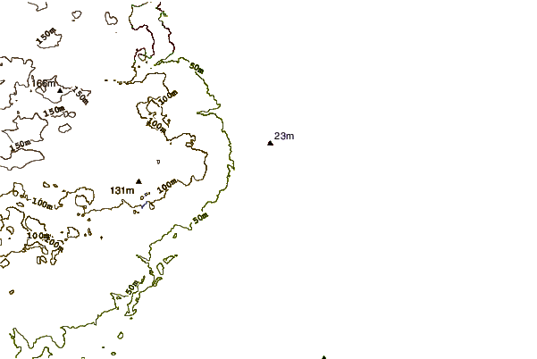
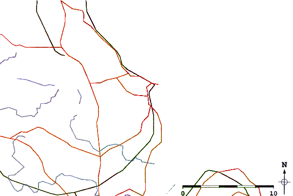
| Contours: | Roads & Rivers: | Select a
tide station / surf break / city |

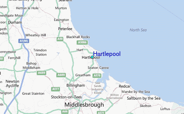
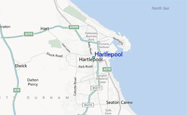
Use this relief map to navigate to tide stations, surf breaks and cities that are in the area of Hartlepool.
Other Nearby Locations' tide tables and tide charts to Hartlepool:
click location name for more details
 Surf breaks close to Hartlepool:
|
||
|---|---|---|
| Closest surf break | Hartlepool | 1 mi |
| Second closest surf break | Seaton Carew | 3 mi |
| Third closest surf break | The Gare | 5 mi |
| Fourth closest surf break | Coatham Sands | 7 mi |
| Fifth closest surf break | Redcar Scars | 9 mi |


 Nearest
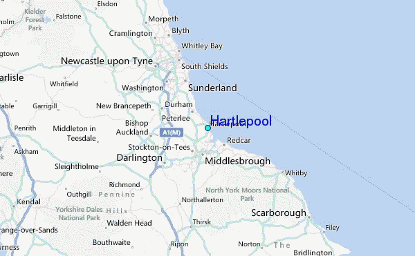