
| Distance / Altitude | Location | Report Date / Time | Live Weather | Wind | Gusts | Temp. | Visibility | Cloud |
|---|---|---|---|---|---|---|---|---|
| 3 km ENE / 3 m | BUOY-HCGN7 (Marine) | 2026-07-28 20:18 local (2026/07/29 00:18 GMT) | light winds from the SW (17 km/h at 220) | — | - | |||
| 11 km ENE / 217 m | Hatteras/Mitchell Field Airport (North Carolina) | 2026-07-28 18:51 local (2026/07/28 22:51 GMT) | Clear | light winds from the S (11 km/h at 170) | 28°C | 16 | ||
| 37 km ESE / 3 m | Diamond Shoals Buoy (Marine) | 2026-07-28 20:20 local (2026/07/29 00:20 GMT) | moderate winds from the SW (25 km/h at 220) | 29°C | - | |||
| 41 km E / 3 m | BUOY-41120 (Marine) | 2026-07-28 19:56 local (2026/07/28 23:56 GMT) | - (- km/h at -) | — | - | |||
| 45 km NW / 2 m | Hyde County- Engelhard Airport (North Carolina) (North Carolina) | 2026-07-28 19:35 local (2026/07/28 23:35 GMT) | Clear | light winds from the S (17 km/h at 180) | 28°C | 16 | ||
| 56 km NW / 3 m | Stumpy Point (North carolina) | 2026-07-28 18:55 local (2026/07/28 22:55 GMT) | Dry and partly cloudy | light winds from the S (17 km/h at 180) | 28°C | scattered broken | ||
| 68 km SW / 210 m | Piney Island Bt-11 Bombing Range (NC) Airport (United States) | 2026-07-28 18:51 local (2026/07/28 22:51 GMT) | Clear | light winds from the SSW (19 km/h at 200) | 28°C | 16 | ||
| 69 km NNE / 3 m | BUOY-ORIN7 (Marine) | 2026-07-28 20:18 local (2026/07/29 00:18 GMT) | moderate winds from the S (22 km/h at 190) | — | - | |||
| 71 km NNE / 3 m | Oregon Inlet- NC (Marine) | 2026-07-28 20:26 local (2026/07/29 00:26 GMT) | - (- km/h at -) | — | - | |||
| 80 km N / 219 m | Manteo/Dare County Airport (North Carolina) | 2026-07-28 19:35 local (2026/07/28 23:35 GMT) | Dry and partly cloudy | moderate winds from the SSW (28 km/h at 200) | 27°C | 16 | broken |
| Contours: | Roads & Rivers: | Select a
tide station / surf break / city |
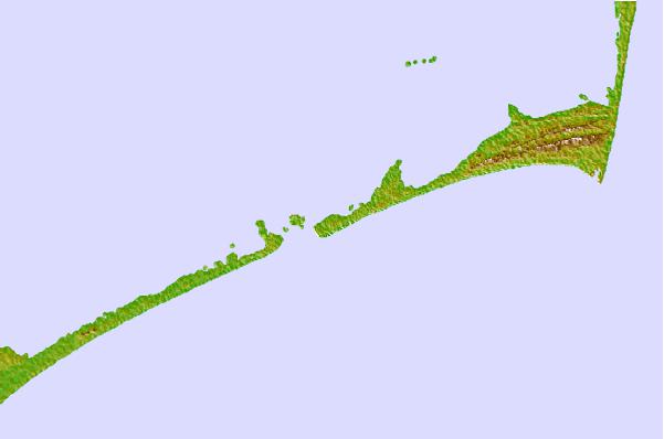

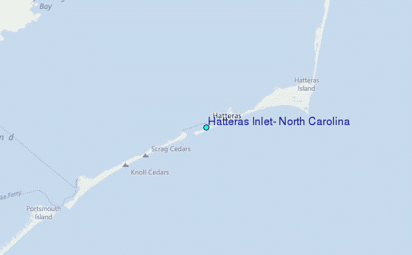
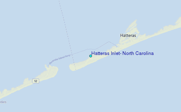
Use this relief map to navigate to tide stations, surf breaks and cities that are in the area of Hatteras Inlet, North Carolina.
Other Nearby Locations' tide tables and tide charts to Hatteras Inlet, North Carolina:
click location name for more details
 Surf breaks close to Hatteras Inlet, North Carolina:
|
||
|---|---|---|
| Closest surf break | Frisco Pier/Cape Hatteras | 4 mi |
| Second closest surf break | Hatteras Light House | 12 mi |
| Third closest surf break | The Lighthouse | 14 mi |
| Fourth closest surf break | Avon Pier | 17 mi |
| Fifth closest surf break | K.O.A | 28 mi |


 Nearest
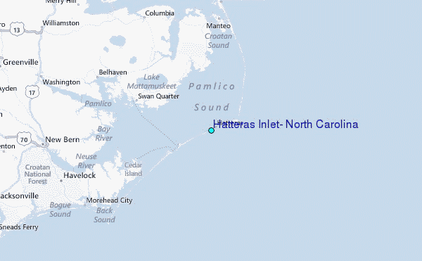