
| Distance / Altitude | Location | Report Date / Time | Live Weather | Wind | Gusts | Temp. | Visibility | Cloud |
|---|---|---|---|---|---|---|---|---|
| 8 km S / 220 m | Haugesund/Karmøy Airport (Norway) | 2026-04-05 01:20 local (2026/04/04 23:20 GMT) | - | strong winds from the ESE (39 km/h at 120) | 5°C | 10.0 | ||
| 9 km S / 26 m | Haugesund AP (Norway) | 2026-04-05 02:00 local (2026/04/05 00:00 GMT) | - | wind obs. (14 kph from 300 degs) was rejected (- km/h at -) | — | - | - | |
| 11 km WSW / 20 m | Rover (Norway) | 2026-04-05 02:00 local (2026/04/05 00:00 GMT) | - | wind obs. (11 kph from 290 degs) was rejected (- km/h at -) | — | - | - | |
| 14 km ENE / 230 m | HHPK Hodnafjell (Norway) | 2026-04-05 02:00 local (2026/04/05 00:00 GMT) | - | wind obs. (76 kph from 95 degs) was rejected (- km/h at -) | 1°C | - | - - 0 | |
| 22 km NE / 210 m | HHPK Glopsfjellet (Norway) | 2026-04-05 02:00 local (2026/04/05 00:00 GMT) | - | severe gales from the ESE (81 km/h at 113) | 1°C | - | - - 0 | |
| 26 km SW / 56 m | Utsira LH (Norway) | 2026-04-05 02:00 local (2026/04/05 00:00 GMT) | - | wind obs. (22 kph from 300 degs) was rejected (- km/h at -) | — | - | - - - | |
| 28 km ENE / 65 m | Nedre Vats (Norway) | 2026-04-05 02:00 local (2026/04/05 00:00 GMT) | - | - (- km/h at -) | — | - | - | |
| 30 km ENE / 650 m | HHPK Hodlestadnuten (Norway) | 2026-04-05 02:00 local (2026/04/05 00:00 GMT) | - | wind obs. (17 kph from 302 degs) was rejected (- km/h at -) | 1°C | - | - - 0 | |
| 38 km ENE / 380 m | HHPK Tverrberg (Norway) | 2026-04-05 02:00 local (2026/04/05 00:00 GMT) | - | strong winds from the SSE (39 km/h at 148) | 1°C | - | - - 0 | |
| 44 km SE / 216 m | JHPGK Rennesøy- Pilå (Norway) | 2026-04-05 02:00 local (2026/04/05 00:00 GMT) | - | wind obs. (102 kph from 142 degs) was rejected (- km/h at -) | 4°C | - | - - 0 |
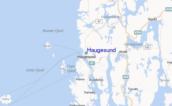
Other Nearby Locations' tide tables and tide charts to Haugesund:
click location name for more details
 Surf breaks close to Haugesund:
|
||
|---|---|---|
| Closest surf break | Hellesto | 41 mi |
| Second closest surf break | Reve Havn | 42 mi |
| Third closest surf break | Sele | 43 mi |
| Fourth closest surf break | Bore | 44 mi |
| Fifth closest surf break | Lista (Bausje) | 104 mi |


 Nearest