
| Distance / Altitude | Location | Report Date / Time | Live Weather | Wind | Gusts | Temp. | Visibility | Cloud |
|---|---|---|---|---|---|---|---|---|
| 11 km N / 3 m | BUOY-41122 (Marine) | 2026-05-16 20:00 local (2026/05/17 00:00 GMT) | - (- km/h at -) | 27°C | - | |||
| 16 km WSW / 218 m | Miami/Opa-locka Airport (Florida) | 2026-05-16 18:53 local (2026/05/16 22:53 GMT) | Dry and partly cloudy | light winds from the ESE (19 km/h at 120) | 29°C | 16 | scattered broken broken | |
| 16 km WNW / 199 m | Hollywood Airport (Florida) | 2026-05-16 18:53 local (2026/05/16 22:53 GMT) | Dry and cloudy | moderate winds from the E (28 km/h at 100) | 30°C | 16 | scattered scattered overcast | |
| 18 km N / 218 m | Fort Lauderdale/Holly Airport (Florida) | 2026-05-16 18:53 local (2026/05/16 22:53 GMT) | Dry and partly cloudy | moderate winds from the E (28 km/h at 100) | 29°C | 16 | scattered scattered | |
| 20 km S / 3 m | BUOY-VAKF1 (Marine) | 2026-05-16 20:00 local (2026/05/17 00:00 GMT) | moderate winds from the E (21 km/h at 80) | 28°C | - | |||
| 21 km N / 3 m | BUOY-PEGF1 (Marine) | 2026-05-16 20:00 local (2026/05/17 00:00 GMT) | moderate winds from the E (21 km/h at 100) | 28°C | - | |||
| 22 km N / 15 m | SHIP3838 (Marine) | 2026-05-16 19:00 local (2026/05/16 23:00 GMT) | - (- km/h at -) | — | - km | |||
| 22 km N / 15 m | SHIP8215 (Marine) | 2026-05-16 18:00 local (2026/05/16 22:00 GMT) | - (- km/h at -) | — | - km | |||
| 22 km N / 15 m | SHIP7115 (Marine) | 2026-05-16 19:00 local (2026/05/16 23:00 GMT) | - (- km/h at -) | — | - km | |||
| 22 km N / 3 m | SHIP7679 (Marine) | 2026-05-16 18:00 local (2026/05/16 22:00 GMT) | - (- km/h at -) | — | - |
Choose Haulover Pier, North Miami Beach, Florida Location Map Zoom:
| Contours: | Roads & Rivers: | Select a
tide station / surf break / city |
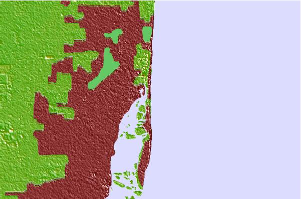
Use this relief map to navigate to tide stations, surf breaks and cities that are in the area of Haulover Pier, North Miami Beach, Florida.
Other Nearby Locations' tide tables and tide charts to Haulover Pier, North Miami Beach, Florida:
click location name for more details
 Surf breaks close to Haulover Pier, North Miami Beach, Florida:
|
||
|---|---|---|
| Closest surf break | Harbor House | 0 mi |
| Second closest surf break | Haulover | 0 mi |
| Third closest surf break | Dunes Motel | 2 mi |
| Fourth closest surf break | Dunes Hotel (Miami) | 6 mi |
| Fifth closest surf break | 21st Street (Miami) | 7 mi |


 Nearest