
| Distance / Altitude | Location | Report Date / Time | Live Weather | Wind | Gusts | Temp. | Visibility | Cloud |
|---|---|---|---|---|---|---|---|---|
| 172 km E / 218 m | Port Hedland International Airport (Australia) | 2026-06-22 15:30 local (2026/06/22 07:30 GMT) | Dry and partly cloudy | moderate winds from the N (20 km/h at 10) | 24°C | 10.0 | no cloud | |
| 361 km SSW / 214 m | Learmouth Airport (Australia) | 2026-06-22 15:30 local (2026/06/22 07:30 GMT) | Dry and cloudy | calm (4 km/h at 60) | 24°C | 10.0 | overcast | |
| 558 km SSW / 3 m | SHIP9728 (Marine) | 2026-06-22 14:00 local (2026/06/22 06:00 GMT) | light winds from the E (18 km/h at 90) | 25°C | - | |||
| 617 km ENE / 218 m | Broome Airport (Australia) | 2026-06-22 15:30 local (2026/06/22 07:30 GMT) | Dry and partly cloudy | light winds from the SE (9 km/h at 130) | 29°C | 10.0 | no cloud | |
| 788 km ENE / 212 m | Curtin/Derby Airport (Australia) | 2026-06-22 15:30 local (2026/06/22 07:30 GMT) | Dry and partly cloudy | light winds from the SE (9 km/h at 130) | 29°C | 10.0 | no cloud | |
| 557 km SSW / 15 m | SHIP5453 (Marine) | 2026-06-22 14:00 local (2026/06/22 06:00 GMT) | light winds from the E (18.36 km/h at 90) | 24°C | - km | |||
| 557 km SSW / 3 m | SHIP3653 (Marine) | 2026-06-22 14:00 local (2026/06/22 06:00 GMT) | light winds from the E (18 km/h at 90) | 25°C | - | |||
| 617 km ENE / 218 m | Broome Airport (Australia) | 2026-06-22 15:30 local (2026/06/22 07:30 GMT) | Dry and partly cloudy | light winds from the SE (9 km/h at 130) | 29°C | 10.0 | no cloud | |
| 788 km ENE / 212 m | Curtin/Derby Airport (Australia) | 2026-06-22 15:30 local (2026/06/22 07:30 GMT) | Dry and partly cloudy | light winds from the SE (9 km/h at 130) | 29°C | 10.0 | no cloud | |
| 866 km ENE / 15 m | SHIP4737 (Marine) | 2026-06-22 14:00 local (2026/06/22 06:00 GMT) | - (- km/h at -) | 27°C | - km |

| Contours: | Roads & Rivers: | Select a
tide station / surf break / city |
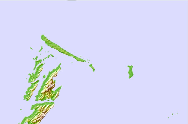
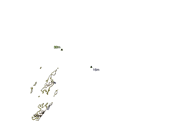
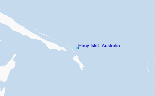
Use this relief map to navigate to tide stations, surf breaks and cities that are in the area of Hauy Islet, Australia.
Other Nearby Locations' tide tables and tide charts to Hauy Islet, Australia:
click location name for more details
 Surf breaks close to Hauy Islet, Australia:
|
||
|---|---|---|
| Closest surf break | Dunes | 206 mi |
| Second closest surf break | Lighthouse Bombie | 216 mi |
| Third closest surf break | Gnaraloo | 319 mi |
| Fourth closest surf break | Turtles | 333 mi |
| Fifth closest surf break | Red Bluff | 337 mi |


 Nearest
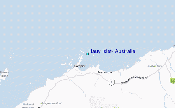