
| Distance / Altitude | Location | Report Date / Time | Live Weather | Wind | Gusts | Temp. | Visibility | Cloud |
|---|---|---|---|---|---|---|---|---|
| 16 km NNE / 3 m | BUOY-SCXA2 (Marine) | 2026-02-09 16:02 local (2026/02/10 01:02 GMT) | fresh winds from the ESE (32 km/h at 110) | 4°C | - | |||
| 19 km W / 3 m | BUOY-RIXA2 (Marine) | 2026-02-09 16:02 local (2026/02/10 01:02 GMT) | light winds from the E (17 km/h at 90) | 5°C | - | |||
| 22 km NW / 3 m | BUOY-NKXA2 (Marine) | 2026-02-09 16:02 local (2026/02/10 01:02 GMT) | light winds from the E (9 km/h at 80) | 4°C | - | |||
| 25 km NE / 772 m | Eaglecrest Ptarmigan Top CW (United States of America) | 2026-02-09 16:04 local (2026/02/10 01:04 GMT) | - | - (- km/h at ) | -1°C | - | - - 0 | |
| 30 km N / 3 m | BUOY-PTLA2 (Marine) | 2026-02-09 16:02 local (2026/02/10 01:02 GMT) | calm (5 km/h at 150) | 5°C | - | |||
| 31 km NE / 3 m | BUOY-MXXA2 (Marine) | 2026-02-09 16:02 local (2026/02/10 01:02 GMT) | light winds from the E (9 km/h at 80) | 4°C | - | |||
| 31 km NE / 3 m | BUOY-SDIA2 (Marine) | 2026-02-09 15:44 local (2026/02/10 00:44 GMT) | light winds from the S (9 km/h at 180) | 4°C | - | |||
| 32 km NE / 3 m | BUOY-JNEA2 (Marine) | 2026-02-09 15:48 local (2026/02/10 00:48 GMT) | light winds from the ESE (8 km/h at 120) | 4°C | - | |||
| 32 km NE / 3 m | BUOY-AJXA2 (Marine) | 2026-02-09 16:02 local (2026/02/10 01:02 GMT) | light winds from the SSE (18 km/h at 160) | 4°C | - | |||
| 32 km NE / 3 m | BUOY-JNGA2 (Marine) | 2026-02-09 16:02 local (2026/02/10 01:02 GMT) | light winds from the ESE (8 km/h at 120) | 4°C | - |
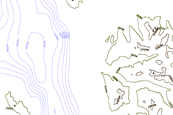
| Contours: | Roads & Rivers: | Select a
tide station / surf break / city |
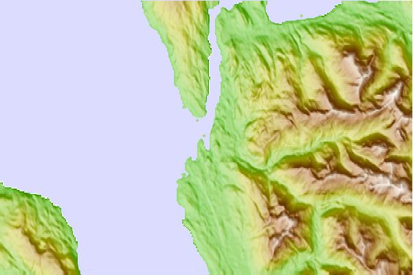
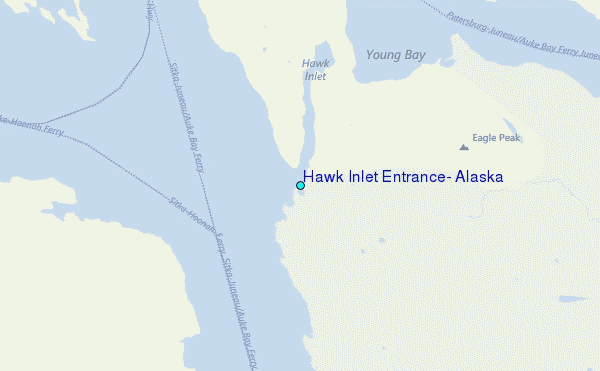
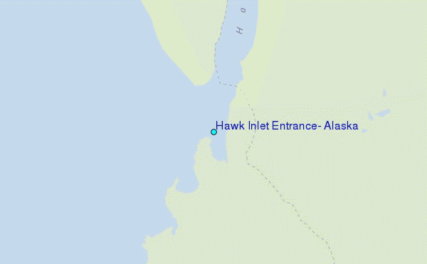
Use this relief map to navigate to tide stations, surf breaks and cities that are in the area of Hawk Inlet Entrance, Alaska.
Other Nearby Locations' tide tables and tide charts to Hawk Inlet Entrance, Alaska:
click location name for more details
 Surf breaks close to Hawk Inlet Entrance, Alaska:
|
||
|---|---|---|
| Closest surf break | Cannon Beach | 204 mi |
| Second closest surf break | Graveyards | 207 mi |
| Third closest surf break | Ocean Cape | 208 mi |
| Fourth closest surf break | Lepus Beach (Haida-Gwaii) | 279 mi |
| Fifth closest surf break | Tow Hill Beach | 300 mi |


 Nearest
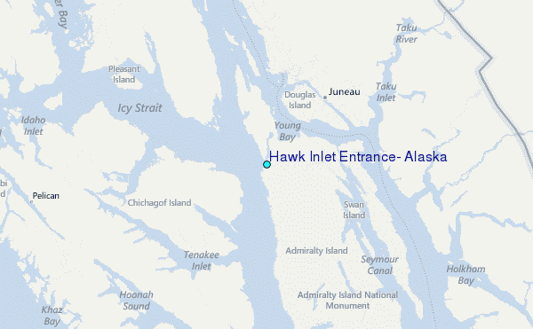