
| Distance / Altitude | Location | Report Date / Time | Live Weather | Wind | Gusts | Temp. | Visibility | Cloud |
|---|---|---|---|---|---|---|---|---|
| 13 km S / 15 m | SHIP4911 (Marine) | 2026-06-22 17:00 local (2026/06/22 07:00 GMT) | strong winds from the ESE (39.6 km/h at 120) | 27°C | - km | |||
| 29 km SE / 13 m | Horn Island Airport (Australia) | 2026-06-22 17:30 local (2026/06/22 07:30 GMT) | Dry and partly cloudy | moderate winds from the SE (28 km/h at 130) | 27°C | 10.0 | no cloud | |
| 616 km SW / 218 m | Gove Airport (Australia) | 2026-06-22 17:30 local (2026/06/22 07:30 GMT) | Dry and partly cloudy | light winds from the SSE (19 km/h at 150) | 24°C | 10.0 | few scattered broken | |
| 815 km SSE / 400 m | Mareeba (Australia) | 2026-06-22 17:38 local (2026/06/22 07:38 GMT) | dry | light winds from the SSE (11 km/h at 150) | 22°C | - | - - 0 | |
| 820 km SSE / 218 m | Cairns Airport (Australia) | 2026-06-22 17:30 local (2026/06/22 07:30 GMT) | Dry and cloudy | moderate winds from the S (22 km/h at 170) | 24°C | 10.0 | overcast | |
| 15 km WSW / 15 m | SHIP5587 (Marine) | 2026-06-22 16:00 local (2026/06/22 06:00 GMT) | moderate winds from the E (28.8 km/h at 100) | 27°C | - km | |||
| 15 km WSW / 3 m | SHIP9539 (Marine) | 2026-06-22 16:00 local (2026/06/22 06:00 GMT) | fresh winds from the E (29 km/h at 100) | 27°C | - | |||
| 15 km WSW / 3 m | SHIP3413 (Marine) | 2026-06-22 16:00 local (2026/06/22 06:00 GMT) | fresh winds from the E (29 km/h at 100) | 27°C | - | |||
| 15 km WSW / 15 m | SHIP4733 (Marine) | 2026-06-22 16:00 local (2026/06/22 06:00 GMT) | moderate winds from the E (28.8 km/h at 100) | 27°C | - km | |||
| 15 km WSW / 15 m | SHIP11046 (Marine) | 2026-06-22 16:00 local (2026/06/22 06:00 GMT) | moderate winds from the E (28.8 km/h at 100) | 27°C | - km |
| Contours: | Roads & Rivers: | Select a
tide station / surf break / city |
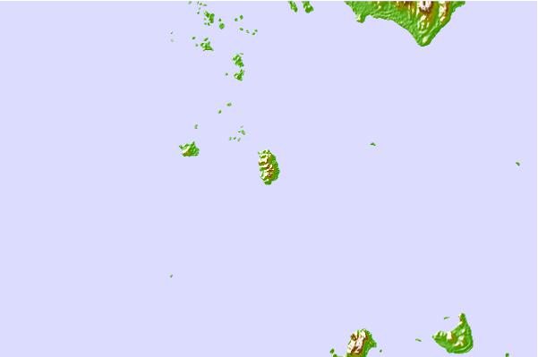
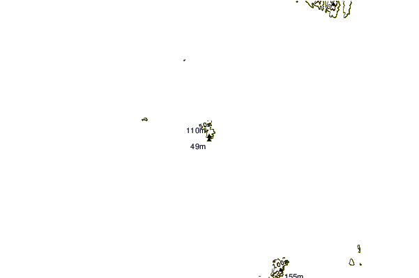
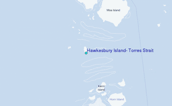
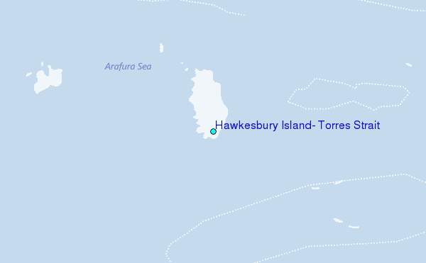
Use this relief map to navigate to tide stations, surf breaks and cities that are in the area of Hawkesbury Island, Torres Strait.
Other Nearby Locations' tide tables and tide charts to Hawkesbury Island, Torres Strait:
click location name for more details
 Surf breaks close to Hawkesbury Island, Torres Strait:
|
||
|---|---|---|
| Closest surf break | Tupira Right | 468 mi |
| Second closest surf break | Forok Point | 480 mi |
| Third closest surf break | The Wharf (Mission Point) | 482 mi |
| Fourth closest surf break | Wewak Point | 484 mi |
| Fifth closest surf break | Moem Point | 484 mi |


 Nearest
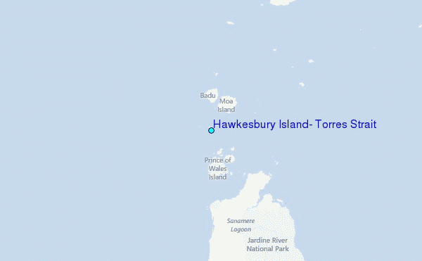