
| Distance / Altitude | Location | Report Date / Time | Live Weather | Wind | Gusts | Temp. | Visibility | Cloud |
|---|---|---|---|---|---|---|---|---|
| 9 km SE / 13 m | Nostang wx (France) | 2026-07-05 19:12 local (2026/07/05 17:12 GMT) | dry | light winds from the W (8 km/h at 270) | 29°C | - | - - 0 | |
| 12 km SW / 44 m | Lorient Lann Bihoue (France) | 2026-07-05 19:00 local (2026/07/05 17:00 GMT) | no report | light winds from the W (11 km/h at 260) | 20°C | 17 | - - - | |
| 12 km S / 19 m | Lorient (France) | 2026-07-05 19:08 local (2026/07/05 17:08 GMT) | dry | calm (3 km/h at 266) | 29°C | - | - - 0 | |
| 13 km SW / 217 m | Lorient/Lann-Bihoué Airport (France) | 2026-07-05 18:30 local (2026/07/05 16:30 GMT) | - | light winds from the WSW (19 km/h at 250) | — | 0.0 | ||
| 23 km SSW / 45 m | Ile DE Groix (France) | 2026-07-05 19:00 local (2026/07/05 17:00 GMT) | no report | light winds from the W (14 km/h at 260) | 18°C | - | - - - | |
| 26 km SSE / 10 m | Plouharnel (France) | 2026-07-05 19:39 local (2026/07/05 17:39 GMT) | dry | calm (3 km/h at 216) | 26°C | - | - - 0 | |
| 37 km SSE / 30 m | Quiberon (France) | 2026-07-05 19:10 local (2026/07/05 17:10 GMT) | dry | calm (2 km/h at 315) | 25°C | - | - - 0 | |
| 43 km WSW / 6 m | Concorde Aventures (France) | 2026-07-05 19:00 local (2026/07/05 17:00 GMT) | - | fresh winds from the WSW (31 km/h at 250) | 22°C | - | - - 0 | |
| 43 km ESE / 133 m | Vannes/Meucon Airport (France) | 2026-07-05 18:30 local (2026/07/05 16:30 GMT) | - | light winds from the N.(Wind varies from 320 to 040 degs) (9 km/h at 350) | — | 0.0 | ||
| 47 km ESE / 10 m | LA MOUETTE SINAGOTE (France) | 2026-07-05 19:00 local (2026/07/05 17:00 GMT) | - | light winds from the SSW (11 km/h at 210) | 27°C | - | - - 0 |
| Contours: | Roads & Rivers: | Select a
tide station / surf break / city |
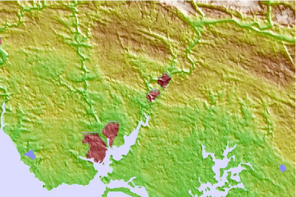
Use this relief map to navigate to tide stations, surf breaks and cities that are in the area of Hennebont.
Other Nearby Locations' tide tables and tide charts to Hennebont:
click location name for more details
 Surf breaks close to Hennebont:
|
||
|---|---|---|
| Closest surf break | Pic Kipu | 7 mi |
| Second closest surf break | Thoulars | 7 mi |
| Third closest surf break | Larmor Plage | 9 mi |
| Fourth closest surf break | Etel | 11 mi |
| Fifth closest surf break | Kaolins | 11 mi |


 Nearest