
| Distance / Altitude | Location | Report Date / Time | Live Weather | Wind | Gusts | Temp. | Visibility | Cloud |
|---|---|---|---|---|---|---|---|---|
| 181 km SSW / 3 m | Central Aleutians Buoy (Marine) | 2025-12-24 21:50 local (2025/12/25 07:50 GMT) | - (- km/h at -) | — | - | |||
| 268 km ENE / 3 m | BUOY-CPXA2 (Marine) | 2025-12-24 22:02 local (2025/12/25 08:02 GMT) | light winds from the SSE (9 km/h at 160) | 6°C | - | |||
| 273 km ENE / 3 m | BUOY-DPLA2 (Marine) | 2025-12-24 22:02 local (2025/12/25 08:02 GMT) | moderate winds from the SE (24 km/h at 130) | 5°C | - | |||
| 273 km ENE / 3 m | BUOY-UNLA2 (Marine) | 2025-12-24 21:30 local (2025/12/25 07:30 GMT) | light winds from the SSE (11 km/h at 150) | — | - | |||
| 273 km ENE / 3 m | BUOY-DPXA2 (Marine) | 2025-12-24 22:02 local (2025/12/25 08:02 GMT) | moderate winds from the ESE (24 km/h at 120) | 5°C | - | |||
| 275 km ENE / 209 m | Dutch Harbor Airport (Alaska) | 2025-12-24 21:06 local (2025/12/25 07:06 GMT) | Light rain | light winds from the SSE (17 km/h at 150) | 4°C | 16 | broken overcast | |
| 277 km ENE / 15 m | SHIP4302 (Marine) | 2025-12-24 21:00 local (2025/12/25 07:00 GMT) | moderate winds from the SE (20.52 km/h at 130) | — | - km | |||
| 277 km ENE / 3 m | SHIP4680 (Marine) | 2025-12-24 20:00 local (2025/12/25 06:00 GMT) | moderate winds from the SE (22 km/h at 130) | 4°C | - | |||
| 277 km ENE / 15 m | SHIP8845 (Marine) | 2025-12-24 21:00 local (2025/12/25 07:00 GMT) | light winds from the SE (18.36 km/h at 130) | — | - km | |||
| 277 km ENE / 15 m | SHIP5130 (Marine) | 2025-12-24 20:00 local (2025/12/25 06:00 GMT) | moderate winds from the SE (22.32 km/h at 130) | — | - km |
| Contours: | Roads & Rivers: | Select a
tide station / surf break / city |
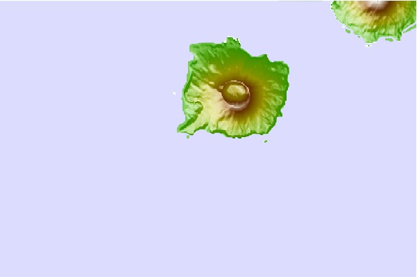
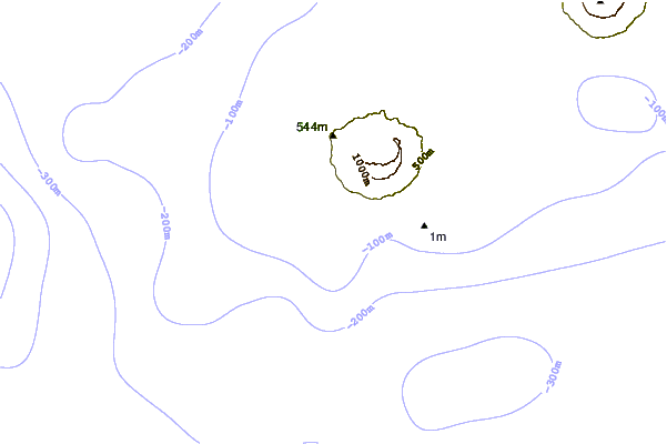
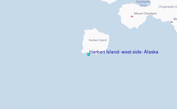
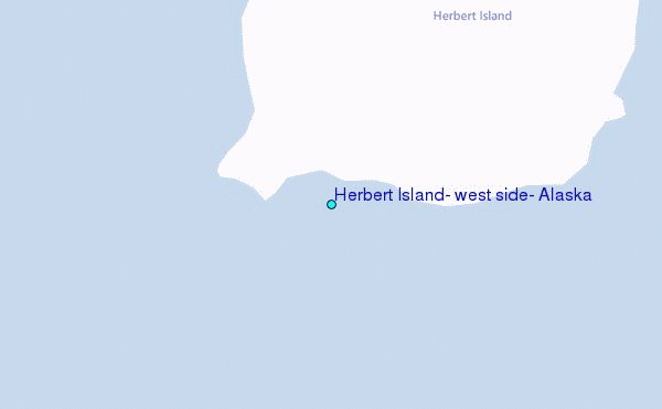
Use this relief map to navigate to tide stations, surf breaks and cities that are in the area of Herbert Island, west side, Alaska.
Other Nearby Locations' tide tables and tide charts to Herbert Island, west side, Alaska:
click location name for more details
 Surf breaks close to Herbert Island, west side, Alaska:
|
||
|---|---|---|
| Closest surf break | Fossil Beach Kodiak | 773 mi |
| Second closest surf break | Monashka Bay | 779 mi |
| Third closest surf break | Termination Point | 781 mi |
| Fourth closest surf break | Mill Bay | 782 mi |
| Fifth closest surf break | Bird Point (Tidal Bore) | 896 mi |


 Nearest
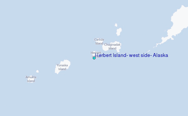