
| Distance / Altitude | Location | Report Date / Time | Live Weather | Wind | Gusts | Temp. | Visibility | Cloud |
|---|---|---|---|---|---|---|---|---|
| 75 km W / 216 m | Sand Point Airport (Alaska) | 2026-06-08 14:56 local (2026/06/08 22:56 GMT) | - | light winds from the S (17 km/h at 190) | 16°C | 16 | few | |
| 75 km W / 3 m | BUOY-SNDA2 (Marine) | 2026-06-08 16:00 local (2026/06/09 00:00 GMT) | calm (5 km/h at 240) | 11°C | - | |||
| 151 km SSW / 3 m | Shumagin Islands Buoy (Marine) | 2026-06-08 16:10 local (2026/06/09 00:10 GMT) | light winds from the NW (11 km/h at 310) | 8°C | - | |||
| 151 km WNW / 4 m | Nelson Lagoon Airport (Alaska) | 2026-06-08 15:07 local (2026/06/08 23:07 GMT) | Dry and cloudy | light winds from the W (11 km/h at 280) | 4°C | 16 | overcast | |
| 153 km WNW / 3 m | BUOY-NLXA2 (Marine) | 2026-06-08 16:32 local (2026/06/09 00:32 GMT) | light winds from the NW (11 km/h at 320) | 6°C | - | |||
| 154 km S / - m | SHIP931 (ocean) | 2026-06-08 14:00 local (2026/06/08 22:00 GMT) | - | light winds from the WNW (11 km/h at 290) | 8°C | - | no observation | |
| 154 km S / - m | SHIP1898 (ocean) | 2026-06-08 14:00 local (2026/06/08 22:00 GMT) | - | light winds from the WNW (11 km/h at 290) | 8°C | - | no observation | |
| 154 km NNE / 212 m | Chignik Bay Airport (Alaska) | 2026-06-08 14:56 local (2026/06/08 22:56 GMT) | Clear | wind obs. (9 kph from 360 degs) was rejected (- km/h at -) | 16°C | 16 | ||
| 154 km S / - m | SHIP826 (ocean) | 2026-06-08 15:00 local (2026/06/08 23:00 GMT) | - | light winds from the NW (11 km/h at 310) | 8°C | - | no observation | |
| 154 km S / - m | SHIP1952 (ocean) | 2026-06-08 14:00 local (2026/06/08 22:00 GMT) | - | light winds from the WNW (11 km/h at 290) | 8°C | - | no observation |
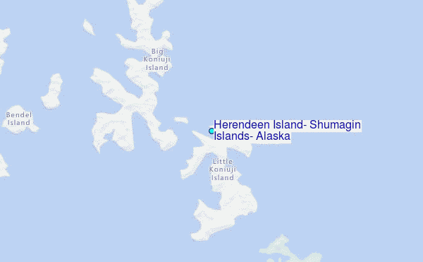
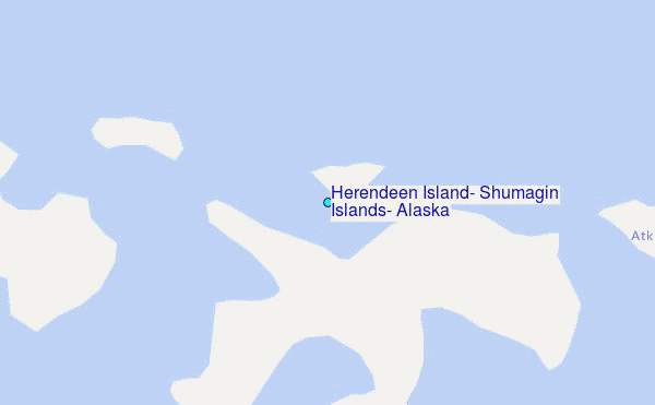
Choose Herendeen Island, Shumagin Islands, Alaska Location Map Zoom:
| Contours: | Roads & Rivers: | Select a
tide station / surf break / city |
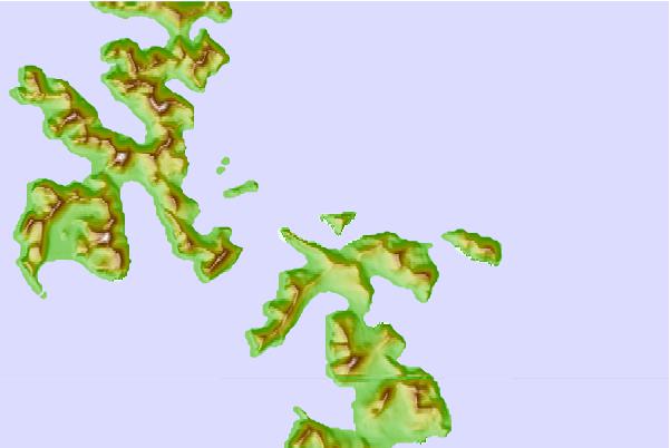
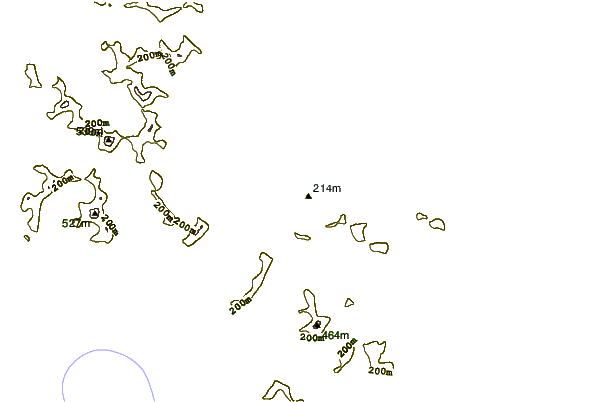
Use this relief map to navigate to tide stations, surf breaks and cities that are in the area of Herendeen Island, Shumagin Islands, Alaska.
Other Nearby Locations' tide tables and tide charts to Herendeen Island, Shumagin Islands, Alaska:
click location name for more details
 Surf breaks close to Herendeen Island, Shumagin Islands, Alaska:
|
||
|---|---|---|
| Closest surf break | Fossil Beach Kodiak | 316 mi |
| Second closest surf break | Monashka Bay | 328 mi |
| Third closest surf break | Mill Bay | 330 mi |
| Fourth closest surf break | Termination Point | 330 mi |
| Fifth closest surf break | Bird Point (Tidal Bore) | 489 mi |


 Nearest
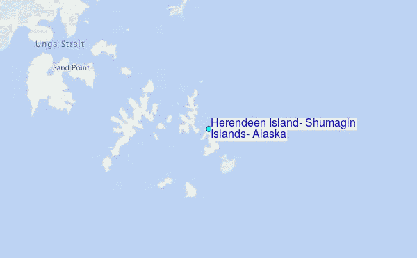