
| Distance / Altitude | Location | Report Date / Time | Live Weather | Wind | Gusts | Temp. | Visibility | Cloud |
|---|---|---|---|---|---|---|---|---|
| 37 km N / 15 m | SHIP7649 (Marine) | 2024-07-26 17:00 local (2024/07/27 01:00 GMT) | strong winds from the E (40.68000000000001 km/h at 90) | — | - km | |||
| 45 km WNW / 3 m | W Prince William Sound Buoy (Marine) | 2024-07-26 16:50 local (2024/07/27 00:50 GMT) | fresh winds from the NNE (29 km/h at 20) | 12°C | - | |||
| 48 km WNW / 3 m | BUOY-PPXA2 (Marine) | 2024-07-26 17:05 local (2024/07/27 01:05 GMT) | light winds from the NE (8 km/h at 40) | 12°C | - | |||
| 55 km ENE / 3 m | West Orca Bay Buoy (Marine) | 2024-07-26 16:50 local (2024/07/27 00:50 GMT) | fresh winds from the E (36 km/h at 100) | 13°C | - | |||
| 43 km NW / 15 m | SHIP3710 (Marine) | 2024-07-26 16:00 local (2024/07/27 00:00 GMT) | strong winds from the NNE (40.68000000000001 km/h at 20) | — | - km | |||
| 45 km WNW / 3 m | W Prince William Sound Buoy (Marine) | 2024-07-26 16:50 local (2024/07/27 00:50 GMT) | fresh winds from the NNE (29 km/h at 20) | 12°C | - | |||
| 46 km WNW / - m | SHIP1196 (ocean) | 2024-07-26 16:00 local (2024/07/27 00:00 GMT) | - | moderate winds from the NNE (25 km/h at 30) | 12°C | - | no observation | |
| 46 km WNW / - m | SHIP1717 (ocean) | 2024-07-26 17:00 local (2024/07/27 01:00 GMT) | - | fresh winds from the NNE (29 km/h at 20) | 12°C | - | no observation | |
| 46 km WNW / - m | SHIP2175 (ocean) | 2024-07-26 16:00 local (2024/07/27 00:00 GMT) | - | moderate winds from the NNE (25 km/h at 30) | 12°C | - | no observation | |
| 46 km WNW / - m | SHIP451 (ocean) | 2024-07-26 16:00 local (2024/07/27 00:00 GMT) | - | moderate winds from the NNE (25 km/h at 30) | 12°C | - | no observation |
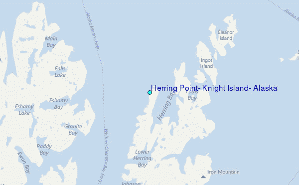
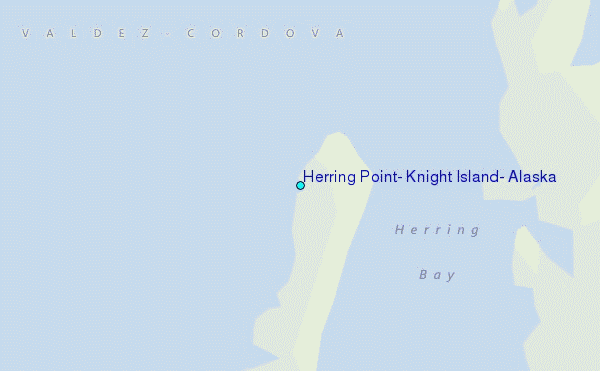
Choose Herring Point, Knight Island, Alaska Location Map Zoom:
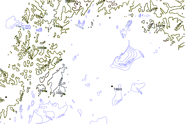
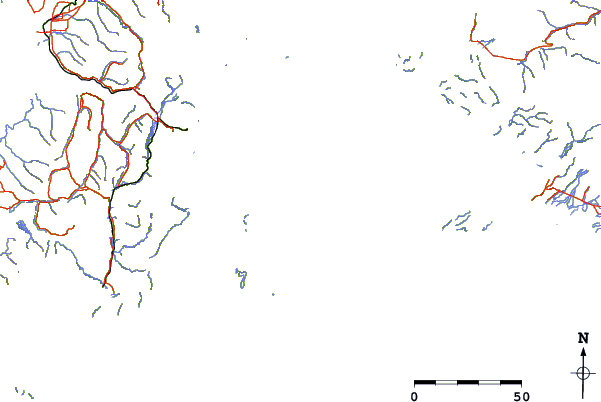
| Contours: | Roads & Rivers: | Select a
tide station / surf break / city |
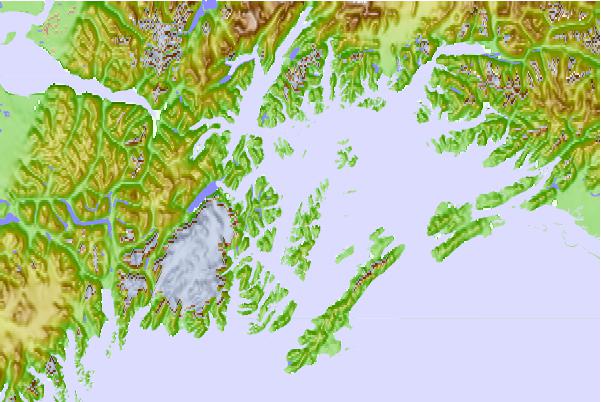
Use this relief map to navigate to tide stations, surf breaks and cities that are in the area of Herring Point, Knight Island, Alaska.
Other Nearby Locations' tide tables and tide charts to Herring Point, Knight Island, Alaska:
click location name for more details
 Surf breaks close to Herring Point, Knight Island, Alaska:
|
||
|---|---|---|
| Closest surf break | Bird Point (Tidal Bore) | 123 mi |
| Second closest surf break | Termination Point | 244 mi |
| Third closest surf break | Mill Bay | 244 mi |
| Fourth closest surf break | Monashka Bay | 246 mi |
| Fifth closest surf break | Fossil Beach Kodiak | 266 mi |

 Nearest
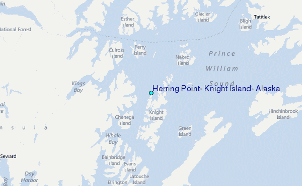