
| Distance / Altitude | Location | Report Date / Time | Live Weather | Wind | Gusts | Temp. | Visibility | Cloud |
|---|---|---|---|---|---|---|---|---|
| 227 km E / 415 m | Troughton Island (Australia) | 2025-12-26 15:00 local (2025/12/26 07:00 GMT) | no report | light winds from the SW (15 km/h at 220) | 26°C | - | - no observation - | |
| 246 km S / 6 m | AdeleIsland (Australia) | 2025-12-26 15:00 local (2025/12/26 07:00 GMT) | no report | wind obs. (11 kph from 180 degs) was rejected (- km/h at -) | 26°C | - | - no observation - | |
| 262 km ESE / 52 m | Truscott (Australia) | 2025-12-26 15:00 local (2025/12/26 07:00 GMT) | Rain | moderate winds from the WSW (22 km/h at 240) | 32°C | - | - overcast - | |
| 294 km ESE / 155 m | Kalumburu (Australia) | 2025-12-26 15:00 local (2025/12/26 07:00 GMT) | Snow showers | calm (0 km/h at 0) | 24°C | - | - no observation - | |
| 333 km E / 0 m | lightning (Australia) | 2025-12-26 13:47 local (2025/12/26 05:47 GMT) | Thunderstorm | (- km/h at -) | — | |||
| 365 km S / 7 m | YampiSound(Defence) (Australia) | 2025-12-26 14:00 local (2025/12/26 06:00 GMT) | no report | wind obs. (9 kph from 250 degs) was rejected (- km/h at -) | 27°C | - | - no observation - | |
| 367 km N / 108 m | KupangEltari (Indonesia) | 2025-12-26 14:30 local (2025/12/26 06:30 GMT) | Dry and partly cloudy | light winds from the NW (19 km/h at 310) | 31°C | 10.0 | scattered scattered - | |
| 383 km SSE / 309 m | lightning 140km NE of Derby (Australia) | 2025-12-26 15:05 local (2025/12/26 07:05 GMT) | Thunderstorm | (- km/h at -) | — | |||
| 434 km S / 7 m | Derby Airport (Australia) | 2025-12-26 15:00 local (2025/12/26 07:00 GMT) | Clear skies | moderate winds from the NNW (28 km/h at 340) | 36°C | - | - no observation - | |
| 455 km S / 78 m | Curtin (Australia) | 2025-12-26 15:00 local (2025/12/26 07:00 GMT) | no report | wind obs. (9 kph from 160 degs) was rejected (- km/h at -) | 27°C | - | - |
| Contours: | Roads & Rivers: | Select a
tide station / surf break / city |


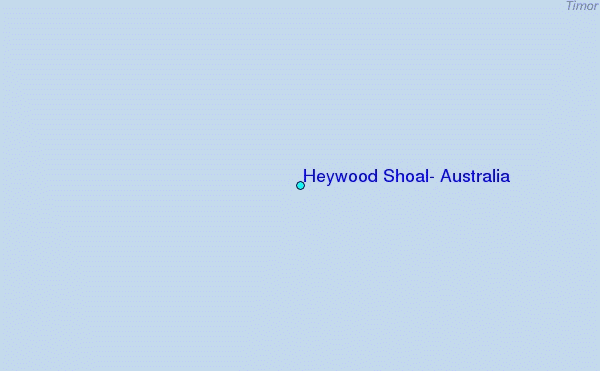
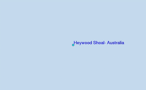
Use this relief map to navigate to tide stations, surf breaks and cities that are in the area of Heywood Shoal, Australia.
Other Nearby Locations' tide tables and tide charts to Heywood Shoal, Australia:
click location name for more details
 Surf breaks close to Heywood Shoal, Australia:
|
||
|---|---|---|
| Closest surf break | Ndana | 191 mi |
| Second closest surf break | Boa | 193 mi |
| Third closest surf break | Peanuts | 194 mi |
| Fourth closest surf break | T-Land | 196 mi |
| Fifth closest surf break | Do'o | 203 mi |


 Nearest