
| Distance / Altitude | Location | Report Date / Time | Live Weather | Wind | Gusts | Temp. | Visibility | Cloud |
|---|---|---|---|---|---|---|---|---|
| 9 km SW / 5 m | lightning 12km WSW of Shell Point (United States) | 2026-05-24 12:00 local (2026/05/24 16:00 GMT) | Thunderstorm | (- km/h at -) | — | |||
| 10 km SSW / 2 m | lightning 10km N of Bluffton (United States) | 2026-05-24 12:00 local (2026/05/24 16:00 GMT) | Thunderstorm | (- km/h at -) | — | |||
| 11 km NNE / 219 m | Beaufort Marine Corps Air Station Airport (South Carolina) | 2026-05-24 12:28 local (2026/05/24 16:28 GMT) | Thunderstorm - | light winds from the SSE (13 km/h at 160) | 30°C | 16 | scattered broken broken | |
| 20 km SSE / 210 m | Hilton Head Airport (North Carolina) | 2026-05-24 12:50 local (2026/05/24 16:50 GMT) | Dry and partly cloudy | light winds from the S (15 km/h at 180) | 29°C | 16 | broken | |
| 25 km WSW / 6 m | lightning 9km N of Hardeeville (United States) | 2026-05-24 11:47 local (2026/05/24 15:47 GMT) | Thunderstorm | (- km/h at -) | — | |||
| 26 km N / 4 m | lightning 19km N of Laurel Bay (United States) | 2026-05-24 11:17 local (2026/05/24 15:17 GMT) | Thunderstorm | (- km/h at -) | — | |||
| 27 km WSW / 7 m | lightning 11km SW of Ridgeland (United States) | 2026-05-24 11:47 local (2026/05/24 15:47 GMT) | Thunderstorm | (- km/h at -) | — | |||
| 30 km SSW / 6 m | lightning 6km N of Savannah (United States) | 2026-05-24 11:18 local (2026/05/24 15:18 GMT) | Thunderstorm | (- km/h at -) | — | |||
| 35 km NNE / 5 m | lightning 27km N of Beaufort (United States) | 2026-05-24 13:19 local (2026/05/24 17:19 GMT) | Thunderstorm | (- km/h at -) | — | |||
| 36 km ESE / 3 m | BUOY-41033 (Marine) | 2026-05-24 13:08 local (2026/05/24 17:08 GMT) | light winds from the S (14 km/h at 170) | 25°C | - |
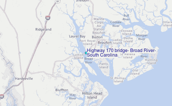
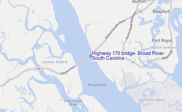
Choose Highway 170 bridge, Broad River, South Carolina Location Map Zoom:
| Contours: | Roads & Rivers: | Select a
tide station / surf break / city |
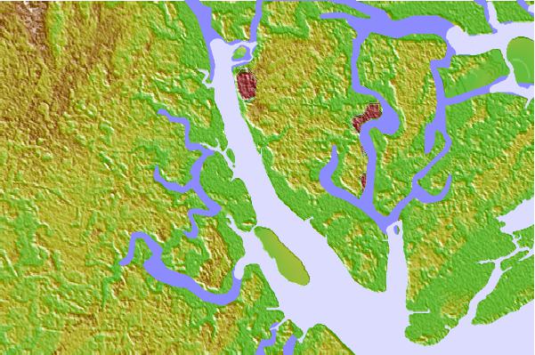

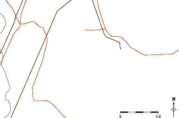
Use this relief map to navigate to tide stations, surf breaks and cities that are in the area of Highway 170 bridge, Broad River, South Carolina.
Other Nearby Locations' tide tables and tide charts to Highway 170 bridge, Broad River, South Carolina:
click location name for more details
 Surf breaks close to Highway 170 bridge, Broad River, South Carolina:
|
||
|---|---|---|
| Closest surf break | Hunting Island | 19 mi |
| Second closest surf break | North Jetty | 25 mi |
| Third closest surf break | Sugar Shack | 26 mi |
| Fourth closest surf break | 2nd Street | 27 mi |
| Fifth closest surf break | Tybee Pier | 27 mi |


 Nearest
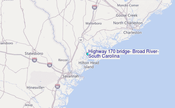