
| Distance / Altitude | Location | Report Date / Time | Live Weather | Wind | Gusts | Temp. | Visibility | Cloud |
|---|---|---|---|---|---|---|---|---|
| 57 km SSW / 3 m | SHIP1553 (Marine) | 2025-12-26 06:00 local (2025/12/26 10:00 GMT) | fresh winds from the NE (37 km/h at 40) | 22°C | 20.4 | |||
| 65 km SSW / 167 m | Point Salines Airport (Grenada) | 2025-12-26 07:00 local (2025/12/26 11:00 GMT) | Shower - in the vicinity | calm (4 km/h at 1) | 24°C | 10.0 | few scattered - | |
| 81 km NNE / 41 m | Argyle International Airport (Saint Vincent and the Grenadines) | 2025-12-26 06:00 local (2025/12/26 10:00 GMT) | - | light winds from the NNE (13 km/h at 30) | 25°C | 10.0 | few | |
| 151 km NNE / 10 m | HewanorraIntl Airport (Saint Lucia) | 2025-12-26 05:00 local (2025/12/26 09:00 GMT) | - | light winds from the ENE (19 km/h at 60) | 24°C | 50 km | - scattered - | |
| 151 km NNE / 188 m | Hewanorra International Airport (Lesser Antilles) | 2025-12-26 06:00 local (2025/12/26 10:00 GMT) | Dry and partly cloudy | light winds from the ENE (15 km/h at 70) | 24°C | 10.0 | scattered | |
| 81 km NNE / 41 m | Argyle International Airport (Saint Vincent and the Grenadines) | 2025-12-26 06:00 local (2025/12/26 10:00 GMT) | - | light winds from the NNE (13 km/h at 30) | 25°C | 10.0 | few | |
| 150 km NNE / 10 m | HewanorraIntl Airport (Saint Lucia) | 2025-12-26 05:00 local (2025/12/26 09:00 GMT) | - | light winds from the ENE (19 km/h at 60) | 24°C | 50 km | - scattered - | |
| 150 km NNE / 188 m | Hewanorra International Airport (Lesser Antilles) | 2025-12-26 06:00 local (2025/12/26 10:00 GMT) | Dry and partly cloudy | light winds from the ENE (15 km/h at 70) | 24°C | 10.0 | scattered | |
| 161 km SSE / 186 m | Crown Point/Scarborough Airport (Trinidad Tobago) | 2025-12-26 06:00 local (2025/12/26 10:00 GMT) | - | light winds from the ENE (7 km/h at 60) | 24°C | 10.0 | few | |
| 162 km SSE / 6 m | CrownPointAirport- Tobago (Trinidad and Tobago) | 2025-12-26 07:00 local (2025/12/26 11:00 GMT) | Haze | light winds from the NE (7 km/h at 40) | 24°C | 40 km | scattered |
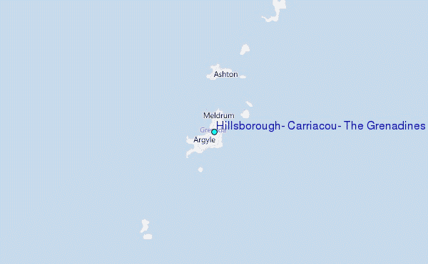
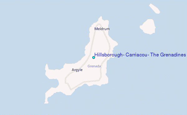
Choose Hillsborough, Carriacou, The Grenadines Location Map Zoom:
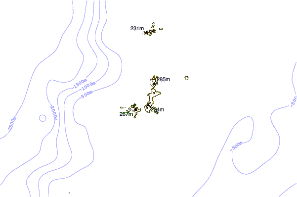
| Contours: | Roads & Rivers: | Select a
tide station / surf break / city |
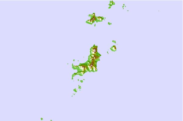
Use this relief map to navigate to tide stations, surf breaks and cities that are in the area of Hillsborough, Carriacou, The Grenadines.
Other Nearby Locations' tide tables and tide charts to Hillsborough, Carriacou, The Grenadines:
click location name for more details
 Surf breaks close to Hillsborough, Carriacou, The Grenadines:
|
||
|---|---|---|
| Closest surf break | Cherry Hill | 36 mi |
| Second closest surf break | North Coast Surfside | 98 mi |
| Third closest surf break | Mount Irvine | 99 mi |
| Fourth closest surf break | Pigeon Point | 99 mi |
| Fifth closest surf break | Sunset | 99 mi |


 Nearest
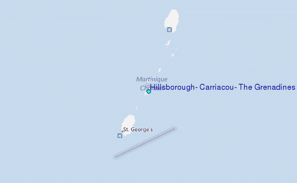