
| Distance / Altitude | Location | Report Date / Time | Live Weather | Wind | Gusts | Temp. | Visibility | Cloud |
|---|---|---|---|---|---|---|---|---|
| 4 km W / 3 m | Hinkley Point 2 Waverider (Marine) | 2025-12-25 08:00 local (2025/12/25 08:00 GMT) | - (- km/h at -) | — | - | |||
| 24 km WSW / 3 m | Minehead Waverider (Marine) | 2025-12-25 07:01 local (2025/12/25 07:01 GMT) | - (- km/h at -) | — | - | |||
| 24 km WNW / 209 m | Cardiff-Wales Airport (United Kingdom) | 2025-12-25 07:20 local (2025/12/25 07:20 GMT) | Dry and partly cloudy | strong winds from the NE (46 km/h at 50) | 3°C | 10.0 | no cloud | |
| 29 km WNW / 49 m | St Athan (United Kingdom) | 2025-12-25 08:00 local (2025/12/25 08:00 GMT) | - | light winds from the SSE (9 km/h at 160) | — | 35 | - | |
| 30 km WNW / 49 m | St.Athan (United Kingdom) | 2025-12-25 08:00 local (2025/12/25 08:00 GMT) | - | wind obs. (9 kph from 160 degs) was rejected (- km/h at -) | 3°C | 35 | - clear - | |
| 31 km NW / 80 m | Llantrithyd Park (United Kingdom) | 2025-12-25 08:00 local (2025/12/25 08:00 GMT) | - | near gales from the NNE (54 km/h at 28) | 3°C | - | - - 0 | |
| 34 km ENE / 219 m | Bristol/Lulsgate Airport (United Kingdom) | 2025-12-25 07:20 local (2025/12/25 07:20 GMT) | Dry and partly cloudy | fresh winds from the NE (35 km/h at 50) | 2°C | 10.0 | no cloud | |
| 36 km SW / 238 m | Liscombe (United Kingdom) | 2025-12-25 08:00 local (2025/12/25 08:00 GMT) | - | strong winds from the NE (41 km/h at 50) | 1°C | 50 km | - overcast - | |
| 40 km S / 252 m | DunkeswellAerodrome (United Kingdom) | 2025-12-25 08:00 local (2025/12/25 08:00 GMT) | - | strong winds from the NE (39 km/h at 40) | 1°C | 35 km | clear | |
| 42 km SE / 20 m | Yeovilton (United Kingdom) | 2025-12-25 08:00 local (2025/12/25 08:00 GMT) | - | fresh winds from the NE (35 km/h at 40) | 3°C | 40 km | - clear - |
| Contours: | Roads & Rivers: | Select a
tide station / surf break / city |
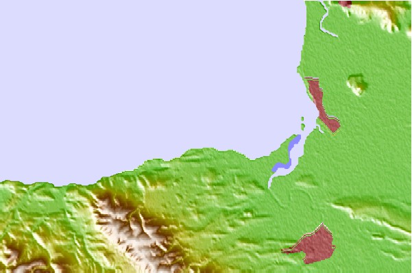
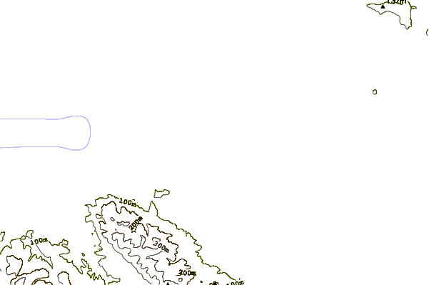
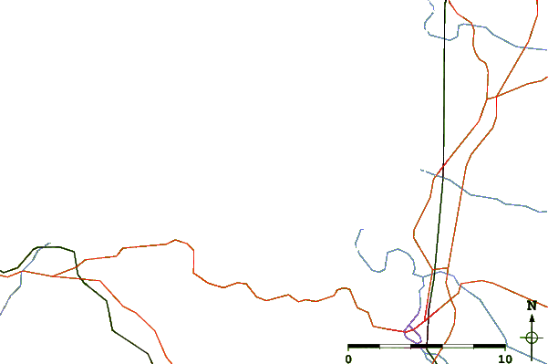
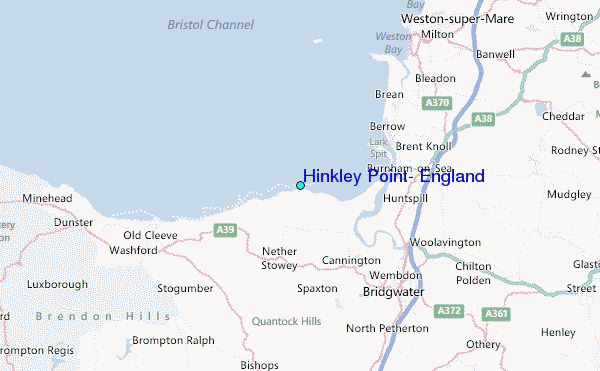
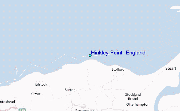
Use this relief map to navigate to tide stations, surf breaks and cities that are in the area of Hinkley Point, England.
Other Nearby Locations' tide tables and tide charts to Hinkley Point, England:
click location name for more details
 Surf breaks close to Hinkley Point, England:
|
||
|---|---|---|
| Closest surf break | The Knap | 14 mi |
| Second closest surf break | Gileston | 17 mi |
| Third closest surf break | Llantwit Major | 20 mi |
| Fourth closest surf break | Porlock Weir | 21 mi |
| Fifth closest surf break | Southerndown | 26 mi |


 Nearest
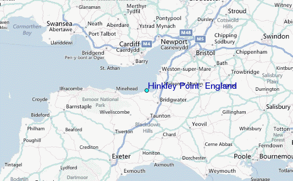