
| Distance / Altitude | Location | Report Date / Time | Live Weather | Wind | Gusts | Temp. | Visibility | Cloud |
|---|---|---|---|---|---|---|---|---|
| 9 km SSW / 4 m | lightning 5km WNW of Tequesta (United States) | 2026-04-26 20:16 local (2026/04/27 00:16 GMT) | Thunderstorm | (- km/h at -) | — | |||
| 16 km WNW / 240 m | Stuart/Witham Field Airport (Florida) | 2026-04-26 19:50 local (2026/04/26 23:50 GMT) | Thunderstorm - in the vicinity | light winds from the SSE (15 km/h at 160) | 27°C | 11 | few scattered broken | |
| 20 km S / 5 m | lightning 6km SSW of Jupiter (United States) | 2026-04-26 20:16 local (2026/04/27 00:16 GMT) | Thunderstorm | (- km/h at -) | — | |||
| 21 km WNW / 2 m | thunderstorm affecting North River Shores (United States) | 2026-04-26 19:51 local (2026/04/26 23:51 GMT) | Thunderstorm | (- km/h at -) | — | |||
| 23 km SW / 3 m | lightning 18km E of Indiantown (United States) | 2026-04-26 19:50 local (2026/04/26 23:50 GMT) | Thunderstorm | (- km/h at -) | — | |||
| 25 km S / 7 m | West Palm Beach (FL) (Florida) | 2026-04-26 20:35 local (2026/04/27 00:35 GMT) | Thunderstorm - in the vicinity | light winds from the ESE (15 km/h at 120) | 21°C | 0 | overcast | |
| 31 km S / 4 m | lightning 6km SW of Palm Beach Gardens (United States) | 2026-04-26 20:20 local (2026/04/27 00:20 GMT) | Thunderstorm | (- km/h at -) | — | |||
| 34 km SSW / 3 m | lightning 14km NW of Royal Palm Beach (United States) | 2026-04-26 19:47 local (2026/04/26 23:47 GMT) | Thunderstorm | (- km/h at -) | — | |||
| 42 km S / 218 m | West Palm Beach Airport (Florida) | 2026-04-26 20:13 local (2026/04/27 00:13 GMT) | Thunderstorm - | light winds from the SSE (9 km/h at 150) | 23°C | 16 | scattered broken broken | |
| 43 km NNE / 0 m | lightning 29km NE of Indian River Estates (United States) | 2026-04-26 20:15 local (2026/04/27 00:15 GMT) | Thunderstorm | (- km/h at -) | — |
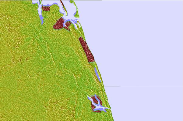
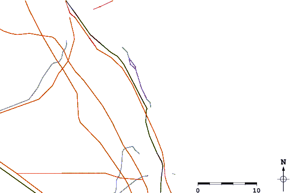
| Contours: | Roads & Rivers: | Select a
tide station / surf break / city |

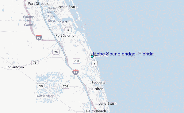
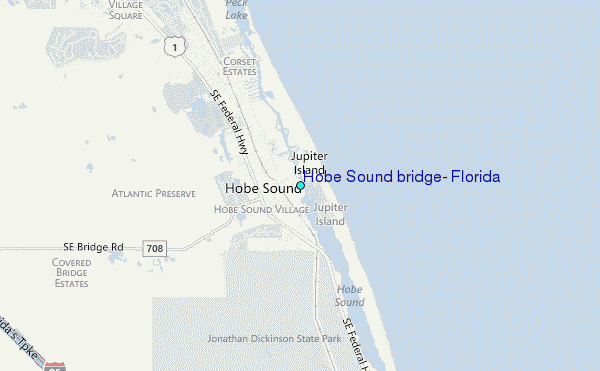
Use this relief map to navigate to tide stations, surf breaks and cities that are in the area of Hobe Sound bridge, Florida.
Other Nearby Locations' tide tables and tide charts to Hobe Sound bridge, Florida:
click location name for more details
 Surf breaks close to Hobe Sound bridge, Florida:
|
||
|---|---|---|
| Closest surf break | Hobe Sound/The Refuge | 3 mi |
| Second closest surf break | Stumps | 4 mi |
| Third closest surf break | Coral Cove | 8 mi |
| Fourth closest surf break | Jupiter Inlet North Jetty | 9 mi |
| Fifth closest surf break | Jupiter Inlet North South Side | 9 mi |


 Nearest
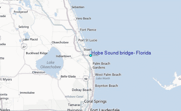