
| Distance / Altitude | Location | Report Date / Time | Live Weather | Wind | Gusts | Temp. | Visibility | Cloud |
|---|---|---|---|---|---|---|---|---|
| 234 km N / 216 m | Gizan Airport (Saudi Arabia) | 2026-02-07 03:00 local (2026/02/07 00:00 GMT) | - | calm (0 km/h at 0) | 24°C | 10.0 | few | |
| 325 km SE / 184 m | Aden International Airport (Yemen) | 2026-02-07 03:00 local (2026/02/07 00:00 GMT) | Dry and partly cloudy | moderate winds from the ENE (28 km/h at 60) | 24°C | 10.0 | scattered | |
| 349 km NNE / 1212 m | Najran (Saudi Arabia) | 2026-02-07 03:00 local (2026/02/07 00:00 GMT) | - | light winds from the N (6 km/h at 350) | — | 0.0 | - mostly cloudy - | |
| 380 km N / 2135 m | Abha Airport (Saudi Arabia) | 2026-02-07 03:00 local (2026/02/07 00:00 GMT) | - | light winds from the SSW (11 km/h at 210) | — | 0.0 | ||
| 388 km N / 2014 m | Khamis Mushait Air Base Airport (Saudi Arabia) | 2026-02-07 03:00 local (2026/02/07 00:00 GMT) | - | light winds from the SSW (6 km/h at 200) | — | 0.0 | ||
| 535 km NE / 690 m | Sharurah Airport (Saudi Arabia) | 2026-02-07 03:00 local (2026/02/07 00:00 GMT) | - | light winds from the E (7 km/h at 100) | — | 0.0 | few - - | |
| 573 km N / 696 m | Bisha Airport (Saudi Arabia) | 2026-02-07 03:00 local (2026/02/07 00:00 GMT) | Dry and partly cloudy | light winds from the NE (6 km/h at 40) | — | 0.0 | scattered scattered - | |
| 625 km NW / 1578 m | Al Baha (Saudi Arabia) | 2026-02-07 03:00 local (2026/02/07 00:00 GMT) | Dry and partly cloudy | wind obs. (9 kph from 30 degs) was rejected (- km/h at -) | — | 0.0 | few scattered - | |
| 639 km ENE / 660 m | Sayun Airport (Yemen) | 2026-02-07 03:00 local (2026/02/07 00:00 GMT) | - | calm (2 km/h at 1) | — | 0.0 | ||
| 674 km NNE / 662 m | Wadi Al Dawaser (Saudi Arabia) | 2026-02-07 03:00 local (2026/02/07 00:00 GMT) | Dry and partly cloudy | fresh winds from the E (33 km/h at 90) | — | 0.0 | no significant cloud - - |
| Contours: | Roads & Rivers: | Select a
tide station / surf break / city |
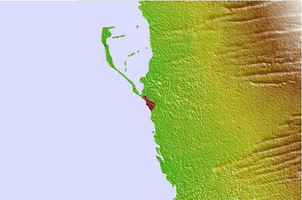
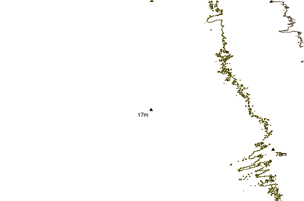
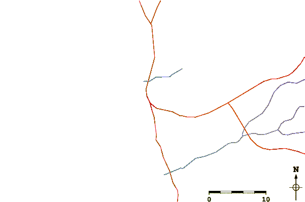
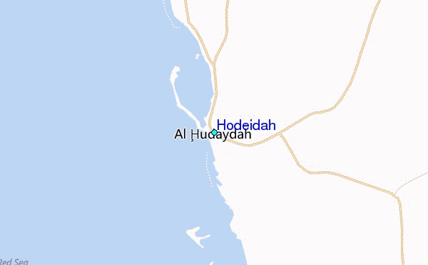
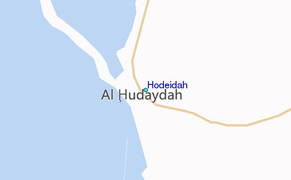
Use this relief map to navigate to tide stations, surf breaks and cities that are in the area of Hodeidah.
Other Nearby Locations' tide tables and tide charts to Hodeidah:
click location name for more details
 Surf breaks close to Hodeidah:
|
||
|---|---|---|
| Closest surf break | Pirights | 631 mi |
| Second closest surf break | Qulansiyah | 723 mi |
| Third closest surf break | Marsa Alaam | 884 mi |
| Fourth closest surf break | Mangaf | 1043 mi |
| Fifth closest surf break | Jebal Ali Lefts | 1050 mi |


 Nearest
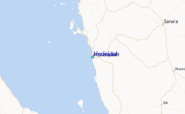