
| Distance / Altitude | Location | Report Date / Time | Live Weather | Wind | Gusts | Temp. | Visibility | Cloud |
|---|---|---|---|---|---|---|---|---|
| 14 km W / 218 m | Biloxi/Keesler Airport (Mississippi) | 2026-06-09 02:40 local (2026/06/09 07:40 GMT) | Dry and cloudy | light winds from the SSE.(Wind varies from 016 to 160 degs) (9 km/h at 150) | 27°C | 16 | broken overcast | |
| 15 km NE / 4.6 m | Gautier (Mississippi) | 2026-06-09 02:20 local (2026/06/09 07:20 GMT) | dry | calm (0 km/h at 109) | 24°C | - | - - 0 | |
| 21 km E / 3 m | BUOY-PNLM6 (Marine) | 2026-06-09 02:30 local (2026/06/09 07:30 GMT) | - (- km/h at -) | — | - | |||
| 25 km ENE / 219 m | Pascagoula Airport (Mississippi) | 2026-06-09 01:53 local (2026/06/09 06:53 GMT) | Clear | calm (0 km/h at 0) | 23°C | 16 | ||
| 30 km WSW / 209 m | Gulfport Airport (Mississippi) | 2026-06-09 01:53 local (2026/06/09 06:53 GMT) | - | light winds from the SE (13 km/h at 130) | 26°C | 16 | few | |
| 31 km W / 23 m | Gulfport (Mississippi) | 2026-06-09 03:09 local (2026/06/09 08:09 GMT) | - | calm (0 km/h at 158) | 23°C | - | - - 0 | |
| 32 km SE / 3 m | BUOY-PTBM6 (Marine) | 2026-06-09 02:30 local (2026/06/09 07:30 GMT) | light winds from the SE (17 km/h at 130) | 26°C | - | |||
| 34 km E / 3 m | BUOY-GDXM6 (Marine) | 2026-06-09 01:45 local (2026/06/09 06:45 GMT) | moderate winds from the SE (21 km/h at 130) | 27°C | - | |||
| 40 km WSW / 7 m | Long Beach (Mississippi) | 2026-06-09 03:11 local (2026/06/09 08:11 GMT) | dry | calm (0 km/h at 0) | 26°C | - | - - 0 | |
| 41 km NE / 30 m | Hurley wx (United States) | 2026-06-09 01:44 local (2026/06/09 06:44 GMT) | dry | calm (0 km/h at 0) | 23°C | - | - - 0 |
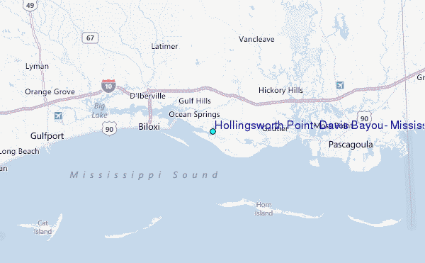
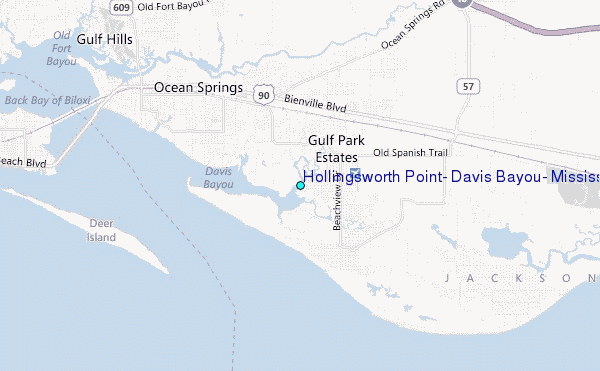
Choose Hollingsworth Point, Davis Bayou, Mississippi Location Map Zoom:
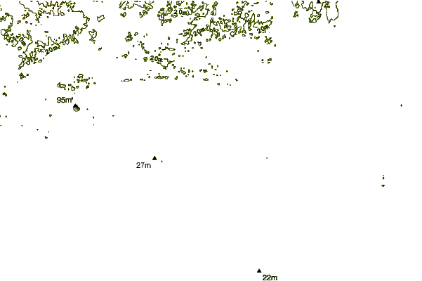
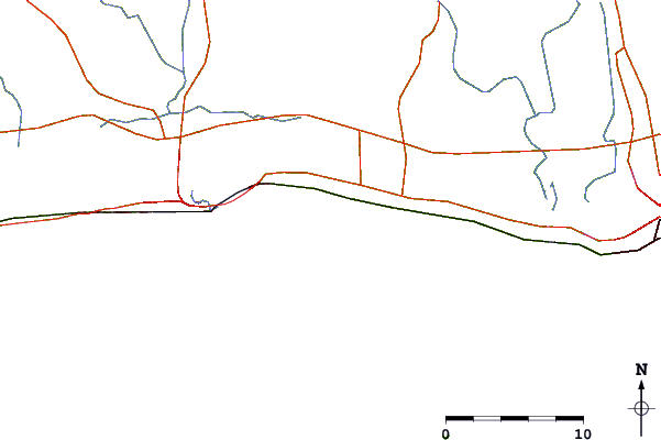
| Contours: | Roads & Rivers: | Select a
tide station / surf break / city |
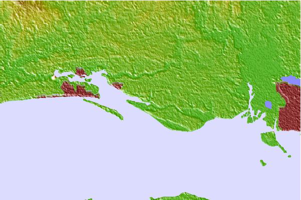
Use this relief map to navigate to tide stations, surf breaks and cities that are in the area of Hollingsworth Point, Davis Bayou, Mississippi.
Other Nearby Locations' tide tables and tide charts to Hollingsworth Point, Davis Bayou, Mississippi:
click location name for more details
 Surf breaks close to Hollingsworth Point, Davis Bayou, Mississippi:
|
||
|---|---|---|
| Closest surf break | Chandeleur Islands | 37 mi |
| Second closest surf break | Dauphin Island Pier | 43 mi |
| Third closest surf break | West Pass | 63 mi |
| Fourth closest surf break | Terry s Cove | 71 mi |
| Fifth closest surf break | Alabama Point | 73 mi |


 Nearest
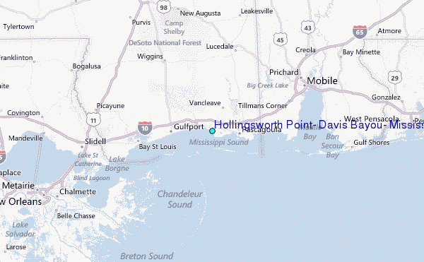