
| Distance / Altitude | Location | Report Date / Time | Live Weather | Wind | Gusts | Temp. | Visibility | Cloud |
|---|---|---|---|---|---|---|---|---|
| 29 km W / 206 m | Klawock Airport (Alaska) | 2025-12-24 23:53 local (2025/12/25 08:53 GMT) | Clear | calm (0 km/h at 0) | -7°C | 16 | ||
| 31 km ENE / 3 m | BUOY-SPXA2 (Marine) | 2025-12-25 00:02 local (2025/12/25 09:02 GMT) | calm (4 km/h at 30) | -3°C | - | |||
| 31 km WSW / 3 m | BUOY-CRGA2 (Marine) | 2025-12-24 23:24 local (2025/12/25 08:24 GMT) | light winds from the E (8 km/h at 90) | -8°C | - | |||
| 48 km E / 3 m | BUOY-GIXA2 (Marine) | 2025-12-25 00:02 local (2025/12/25 09:02 GMT) | calm (4 km/h at 20) | -2°C | - | |||
| 58 km E / 3 m | BUOY-WCXA2 (Marine) | 2025-12-25 00:02 local (2025/12/25 09:02 GMT) | light winds from the NNE (11 km/h at 30) | -6°C | - | |||
| 60 km E / 15 m | SHIP10007 (Marine) | 2025-12-24 22:00 local (2025/12/25 07:00 GMT) | light winds from the NNW (18.36 km/h at 340) | — | - km | |||
| 60 km E / - m | SHIP988 (ocean) | 2025-12-25 00:00 local (2025/12/25 09:00 GMT) | - | moderate winds from the NW (22 km/h at 320) | — | - | no observation | |
| 60 km E / 15 m | SHIP8961 (Marine) | 2025-12-24 23:00 local (2025/12/25 08:00 GMT) | light winds from the NW (14.76 km/h at 320) | — | - km | |||
| 60 km E / 3 m | SHIP9353 (Marine) | 2025-12-24 22:00 local (2025/12/25 07:00 GMT) | light winds from the NNW (11 km/h at 330) | -2°C | - | |||
| 60 km E / 15 m | SHIP9009 (Marine) | 2025-12-24 22:00 local (2025/12/25 07:00 GMT) | moderate winds from the NW (22.32 km/h at 320) | — | - km |
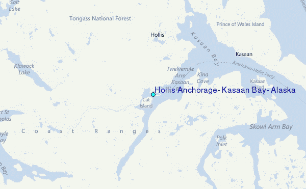
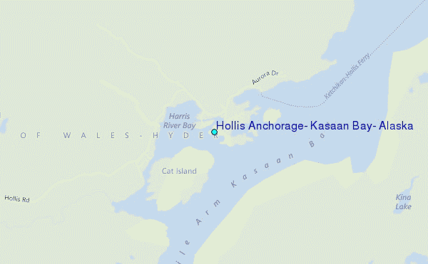
Choose Hollis Anchorage, Kasaan Bay, Alaska Location Map Zoom:
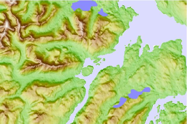
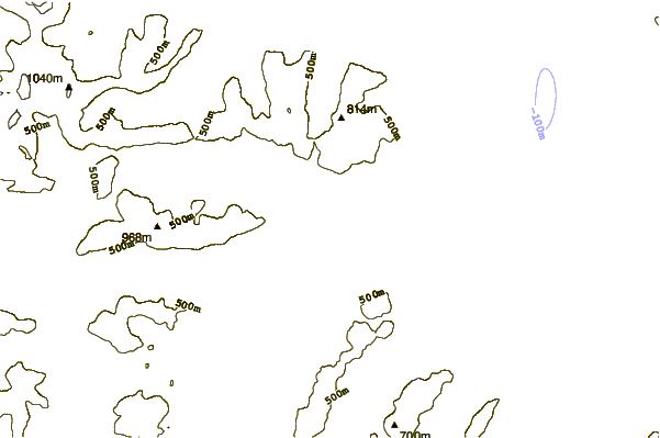
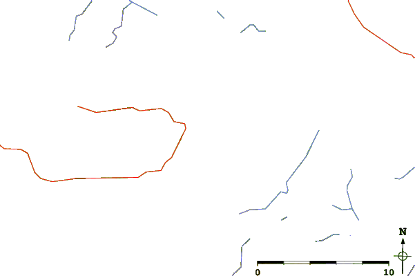
| Contours: | Roads & Rivers: | Select a
tide station / surf break / city |
Use this relief map to navigate to tide stations, surf breaks and cities that are in the area of Hollis Anchorage, Kasaan Bay, Alaska.
Other Nearby Locations' tide tables and tide charts to Hollis Anchorage, Kasaan Bay, Alaska:
click location name for more details
 Surf breaks close to Hollis Anchorage, Kasaan Bay, Alaska:
|
||
|---|---|---|
| Closest surf break | Lepus Beach (Haida-Gwaii) | 92 mi |
| Second closest surf break | Tow Hill Beach | 103 mi |
| Third closest surf break | Cannon Beach | 383 mi |
| Fourth closest surf break | Graveyards | 387 mi |
| Fifth closest surf break | Ocean Cape | 388 mi |


 Nearest
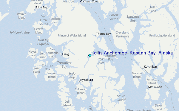