
| Distance / Altitude | Location | Report Date / Time | Live Weather | Wind | Gusts | Temp. | Visibility | Cloud |
|---|---|---|---|---|---|---|---|---|
| 15 km S / 3 m | BUOY-46125 (Marine) | 2026-06-08 23:50 local (2026/06/09 06:50 GMT) | light winds from the WNW (7 km/h at 300) | 12°C | - | |||
| 19 km NW / 61 m | OLF COUPEVILLE (WA) (United States) | 2026-06-09 00:17 local (2026/06/09 07:17 GMT) | - | calm.(Wind varies from 005 to 012 degs) (0 km/h at 0) | 12°C | 0.0 | ||
| 19 km W / 3 m | BUOY-PTWW1 (Marine) | 2026-06-09 00:48 local (2026/06/09 07:48 GMT) | light winds from the SW (9 km/h at 230) | — | - | |||
| 21 km WSW / 37 m | Port Townsend Airport (Washington) (Washington) | 2026-06-09 00:35 local (2026/06/09 07:35 GMT) | Drizzle | wind obs. (13 kph from 280 degs) was rejected (- km/h at -) | 11°C | 5 | overcast | |
| 22 km ESE / 218 m | Everett Airport (Washington) | 2026-06-09 00:02 local (2026/06/09 07:02 GMT) | Light rain | light winds from the SSE (19 km/h at 150) | 13°C | 6 | few broken | |
| 31 km SSE / 3 m | BUOY-46120 (Marine) | 2026-06-08 23:50 local (2026/06/09 06:50 GMT) | light winds from the ESE (18 km/h at 120) | 14°C | - | |||
| 32 km ENE / 197 m | Arlington Municipal Airport (Washington) | 2026-06-08 23:56 local (2026/06/09 06:56 GMT) | Moderate rain | light winds from the NE (6 km/h at 50) | 12°C | 8 | overcast | |
| 33 km NE / 22 m | Arlington Junction wx (United States) | 2026-06-09 01:13 local (2026/06/09 08:13 GMT) | dry | calm (2 km/h at 71) | 12°C | - | - - 0 | |
| 35 km ENE / 43 m | Portage Green Mobile Home Court wx (United States) | 2026-06-09 00:20 local (2026/06/09 07:20 GMT) | dry | calm (2 km/h at 0) | 12°C | - | - - 0 | |
| 36 km E / 76 m | Lake Stevens wx (United States) | 2026-06-09 01:16 local (2026/06/09 08:16 GMT) | light rain | calm (0 km/h at 0) | 13°C | - | - - 0 |
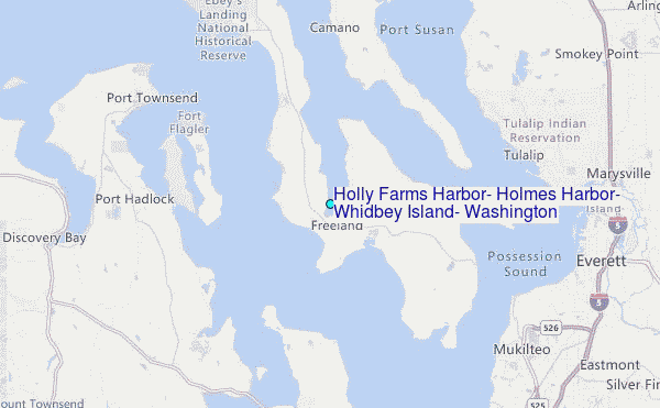
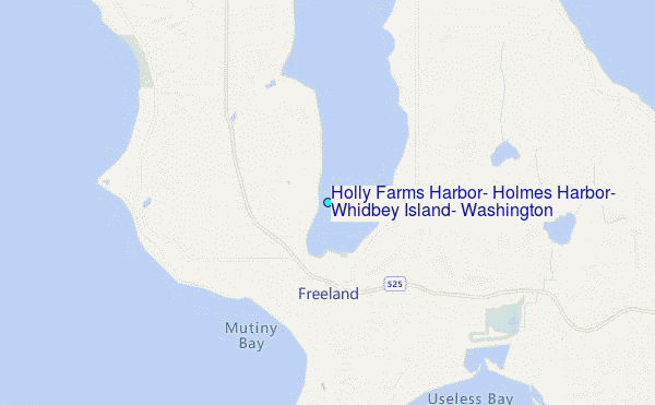
Choose Holly Farms Harbor, Holmes Harbor, Whidbey Island, Washington Location Map Zoom:
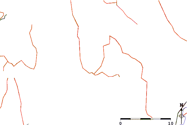
| Contours: | Roads & Rivers: | Select a
tide station / surf break / city |
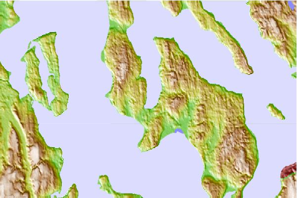
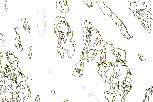
Use this relief map to navigate to tide stations, surf breaks and cities that are in the area of Holly Farms Harbor, Holmes Harbor, Whidbey Island, Washington.
Other Nearby Locations' tide tables and tide charts to Holly Farms Harbor, Holmes Harbor, Whidbey Island, Washington:
click location name for more details
 Surf breaks close to Holly Farms Harbor, Holmes Harbor, Whidbey Island, Washington:
|
||
|---|---|---|
| Closest surf break | Fort. Ebey | 17 mi |
| Second closest surf break | Super green | 35 mi |
| Third closest surf break | Elwha | 48 mi |
| Fourth closest surf break | Crescent | 55 mi |
| Fifth closest surf break | Whiskey Creek | 58 mi |


 Nearest
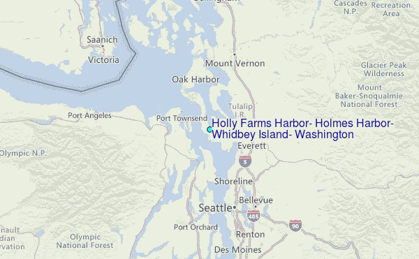