
| Distance / Altitude | Location | Report Date / Time | Live Weather | Wind | Gusts | Temp. | Visibility | Cloud |
|---|---|---|---|---|---|---|---|---|
| 0 km S / 3 m | BUOY-HMSA2 (Marine) | 2026-05-24 07:02 local (2026/05/24 15:02 GMT) | calm (2 km/h at 150) | 5°C | - | |||
| 1 km ESE / 3 m | BUOY-HMRA2 (Marine) | 2026-05-24 06:30 local (2026/05/24 14:30 GMT) | calm (4 km/h at 140) | — | - | |||
| 1 km E / 4.6 m | Homer (Alaska) | 2026-05-24 04:37 local (2026/05/24 12:37 GMT) | - | calm (5 km/h at 106) | 4°C | - | - - 0 | |
| 6 km WNW / 215 m | Homer Airport (Alaska) | 2026-05-24 05:53 local (2026/05/24 13:53 GMT) | Dry and partly cloudy | calm (0 km/h at 0) | 2°C | 16 | broken | |
| 18 km NNE / 396.2 m | Homer (Alaska) | 2026-05-24 05:40 local (2026/05/24 13:40 GMT) | - | calm (0 km/h at 101) | -2°C | - | - - 0 | |
| 19 km NNE / 434 m | Homer (Alaska) | 2026-05-24 05:32 local (2026/05/24 13:32 GMT) | - | calm (0 km/h at 82) | -1°C | - | - - 0 | |
| 23 km SSW / 211 m | Seldovia Airport (Alaska) | 2026-05-24 06:04 local (2026/05/24 14:04 GMT) | - | calm (0 km/h at 0) | 0°C | 0.0 | ||
| 23 km WSW / 3 m | Lower Cook Inlet (Marine) | 2026-05-24 06:30 local (2026/05/24 14:30 GMT) | - (- km/h at -) | — | - | |||
| 25 km SSW / 3 m | BUOY-OVIA2 (Marine) | 2026-05-24 06:48 local (2026/05/24 14:48 GMT) | - (- km/h at -) | — | - | |||
| 31 km WNW / 3 m | BUOY-APXA2 (Marine) | 2026-05-24 05:45 local (2026/05/24 13:45 GMT) | light winds from the ESE (8 km/h at 120) | 1°C | - |
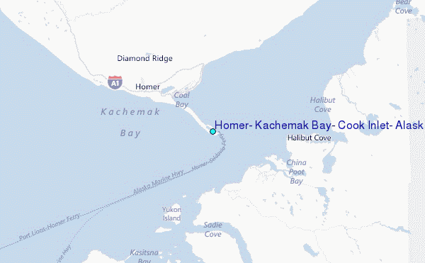
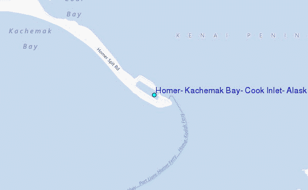
Choose Homer, Kachemak Bay, Cook Inlet, Alaska Location Map Zoom:
Other Nearby Locations' tide tables and tide charts to Homer, Kachemak Bay, Cook Inlet, Alaska:
click location name for more details
 Surf breaks close to Homer, Kachemak Bay, Cook Inlet, Alaska:
|
||
|---|---|---|
| Closest surf break | Bird Point (Tidal Bore) | 77 mi |
| Second closest surf break | Termination Point | 126 mi |
| Third closest surf break | Mill Bay | 127 mi |
| Fourth closest surf break | Monashka Bay | 128 mi |
| Fifth closest surf break | Fossil Beach Kodiak | 154 mi |


 Nearest
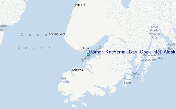