
| Distance / Altitude | Location | Report Date / Time | Live Weather | Wind | Gusts | Temp. | Visibility | Cloud |
|---|---|---|---|---|---|---|---|---|
| 1 km WNW / 182 m | Honiara (Solomon Islands) | 2026-02-09 11:00 local (2026/02/09 00:00 GMT) | moderate to heavy rain showers | wind obs. (22 kph from 180 degs) was rejected (- km/h at -) | 24°C | 10 | - | |
| 9 km E / 9 m | Honiara/Henderson Airport (Solomon Islands) | 2026-02-09 11:00 local (2026/02/09 00:00 GMT) | Dry and partly cloudy | calm (4 km/h at 180) | 26°C | 10.0 | few scattered broken | |
| 110 km NE / 11 m | Auki (Solomon Islands) | 2026-02-09 11:00 local (2026/02/09 00:00 GMT) | distant precipitation but not falling at station | calm (4 km/h at 90) | — | 10 | - - - | |
| 128 km S / 15 m | ASCATC160E10S (Marine) | 2026-02-09 09:18 local (2026/02/08 22:18 GMT) | moderate winds from the NNW (27 km/h at 344) | — | - km | |||
| 130 km SSE / 15 m | ASCATC161E10S (Marine) | 2026-02-09 09:18 local (2026/02/08 22:18 GMT) | moderate winds from the NNE (23 km/h at 32) | — | - km | |||
| 134 km N / 15 m | ASCATC160E8S (Marine) | 2026-02-09 09:17 local (2026/02/08 22:17 GMT) | light winds from the NNE (19 km/h at 13) | — | - km | |||
| 137 km WSW / 15 m | ASCATC159E9S (Marine) | 2026-02-09 09:18 local (2026/02/08 22:18 GMT) | fresh winds from the N (32 km/h at 355) | — | - km | |||
| 150 km WNW / 15 m | ASCATC159E8S (Marine) | 2026-02-09 09:17 local (2026/02/08 22:17 GMT) | moderate winds from the N (24 km/h at 9) | — | - km | |||
| 179 km NE / 15 m | ASCATC161E8S (Marine) | 2026-02-09 09:17 local (2026/02/08 22:17 GMT) | light winds from the NW (12 km/h at 313) | — | - km | |||
| 181 km ENE / 15 m | ASCATC161E9S (Marine) | 2026-02-09 09:17 local (2026/02/08 22:17 GMT) | light winds from the N (15 km/h at 2) | — | - km |
| Contours: | Roads & Rivers: | Select a
tide station / surf break / city |
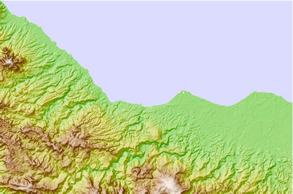
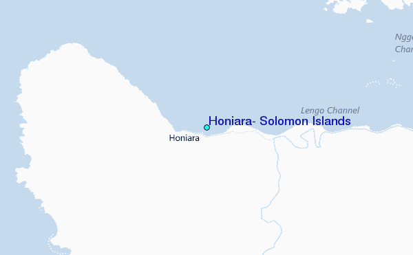
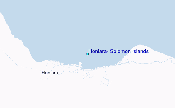
Use this relief map to navigate to tide stations, surf breaks and cities that are in the area of Honiara, Solomon Islands.
Other Nearby Locations' tide tables and tide charts to Honiara, Solomon Islands:
click location name for more details
 Surf breaks close to Honiara, Solomon Islands:
|
||
|---|---|---|
| Closest surf break | Coves | 194 mi |
| Second closest surf break | Kundu Kundu | 200 mi |
| Third closest surf break | Lavata | 201 mi |
| Fourth closest surf break | Mbirimbiri | 204 mi |
| Fifth closest surf break | Skull Island | 206 mi |


 Nearest
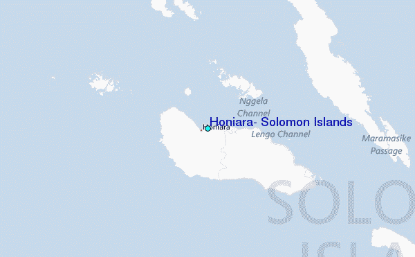