
| Distance / Altitude | Location | Report Date / Time | Live Weather | Wind | Gusts | Temp. | Visibility | Cloud |
|---|---|---|---|---|---|---|---|---|
| 1 km S / 3 m | BUOY-OOUH1 (Marine) | 2026-05-22 05:48 local (2026/05/22 15:48 GMT) | calm (5 km/h at 60) | — | - | |||
| 7 km E / 15 m | SHIP3348 (Marine) | 2026-05-22 04:00 local (2026/05/22 14:00 GMT) | - (- km/h at -) | — | - km | |||
| 7 km ESE / 183 m | Saint Louis Heights wx (United States) | 2026-05-22 06:18 local (2026/05/22 16:18 GMT) | dry | wind obs. (8 kph from 30 degs) was rejected (- km/h at -) | 23°C | - | - - 0 | |
| 9 km W / 218 m | Honolulu Airport (Hawaii) | 2026-05-22 04:53 local (2026/05/22 14:53 GMT) | Dry and partly cloudy | light winds from the NE (19 km/h at 40) | 23°C | 16 | few broken | |
| 10 km WSW / 3 m | Pearl Harbor Entrance- HI (Marine) | 2026-05-22 05:30 local (2026/05/22 15:30 GMT) | - (- km/h at -) | 24°C | - | |||
| 7 km E / 15 m | SHIP3221 (Marine) | 2026-05-22 05:00 local (2026/05/22 15:00 GMT) | - (- km/h at -) | — | - km | |||
| 7 km E / 15 m | SHIP2464 (Marine) | 2026-05-22 05:00 local (2026/05/22 15:00 GMT) | - (- km/h at -) | — | - km | |||
| 7 km E / 3 m | SHIP10560 (Marine) | 2026-05-22 05:00 local (2026/05/22 15:00 GMT) | - (- km/h at -) | 23°C | - | |||
| 7 km ESE / 183 m | Saint Louis Heights wx (United States) | 2026-05-22 06:18 local (2026/05/22 16:18 GMT) | dry | wind obs. (8 kph from 30 degs) was rejected (- km/h at -) | 23°C | - | - - 0 | |
| 7 km E / 15 m | SHIP7132 (Marine) | 2026-05-22 04:00 local (2026/05/22 14:00 GMT) | - (- km/h at -) | — | - km |
| Contours: | Roads & Rivers: | Select a
tide station / surf break / city |
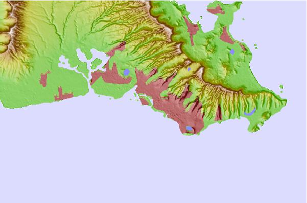
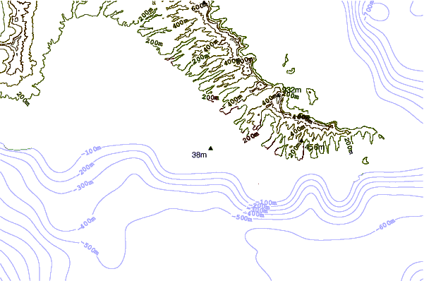
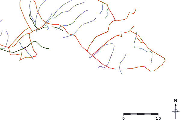
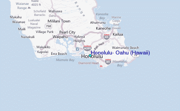
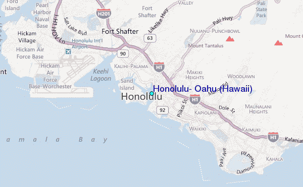
Use this relief map to navigate to tide stations, surf breaks and cities that are in the area of Honolulu, Oahu (Hawaii).
Other Nearby Locations' tide tables and tide charts to Honolulu, Oahu (Hawaii):
click location name for more details
 Surf breaks close to Honolulu, Oahu (Hawaii):
|
||
|---|---|---|
| Closest surf break | Point Panic | 1 mi |
| Second closest surf break | Ala Moana Courts | 1 mi |
| Third closest surf break | Baby Haleiwa | 1 mi |
| Fourth closest surf break | Big Lefts | 1 mi |
| Fifth closest surf break | Consessions/Big Rights | 1 mi |


 Nearest
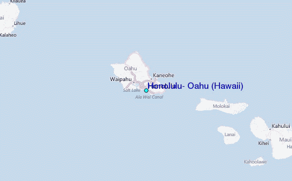