
| Distance / Altitude | Location | Report Date / Time | Live Weather | Wind | Gusts | Temp. | Visibility | Cloud |
|---|---|---|---|---|---|---|---|---|
| 55 km NNE / 19 m | CapeWessel (Australia) | 2025-12-25 16:30 local (2025/12/25 07:00 GMT) | no report | fresh winds from the WNW (35 km/h at 300) | 26°C | - | - no observation - | |
| 100 km SSE / 54 m | Gove Airport (Australia) | 2025-12-25 16:30 local (2025/12/25 07:00 GMT) | no report | light winds from the NNW (13 km/h at 340) | 27°C | - | - no observation - | |
| 119 km SW / 9 m | Ngayawili (Australia) | 2025-12-25 16:30 local (2025/12/25 07:00 GMT) | no report | light winds from the WNW (11 km/h at 300) | 25°C | - | - | |
| 122 km SW / 34 m | ElchoIsland (Australia) | 2025-12-25 15:30 local (2025/12/25 06:00 GMT) | - | wind obs. (28 kph from 150 degs) was rejected (- km/h at -) | — | - | no observation | |
| 173 km SSE / 0 m | lightning 83km SE of Gove (Australia) | 2025-12-25 14:35 local (2025/12/25 05:05 GMT) | Thunderstorm | (- km/h at -) | — | |||
| 190 km SW / 16 m | MilingimbiAws (Australia) | 2025-12-25 16:30 local (2025/12/25 07:00 GMT) | no report | wind obs. (9 kph from 70 degs) was rejected (- km/h at -) | 26°C | - | - no observation - | |
| 256 km SW / 30 m | Maningrida Aerodrome (Australia) | 2025-12-25 16:30 local (2025/12/25 07:00 GMT) | no report | moderate winds from the NW (22 km/h at 310) | 28°C | - | - no observation - | |
| 281 km S / 14 m | Groote Eylandt Airport Aws (Australia) | 2025-12-25 16:30 local (2025/12/25 07:00 GMT) | no report | moderate winds from the N (20 km/h at 350) | 27°C | - | - no observation - | |
| 339 km WSW / 239 m | Warruwi (Australia) | 2025-12-25 16:30 local (2025/12/25 07:00 GMT) | no report | calm (4 km/h at 150) | 25°C | - | - | |
| 341 km SSW / 105 m | Bulman Automatic Weather Station (Australia) | 2025-12-25 16:30 local (2025/12/25 07:00 GMT) | no report | light winds from the N (13 km/h at 350) | 22°C | - | - no observation - |
| Contours: | Roads & Rivers: | Select a
tide station / surf break / city |

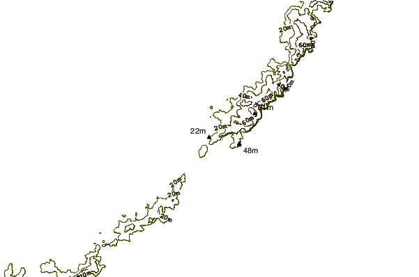

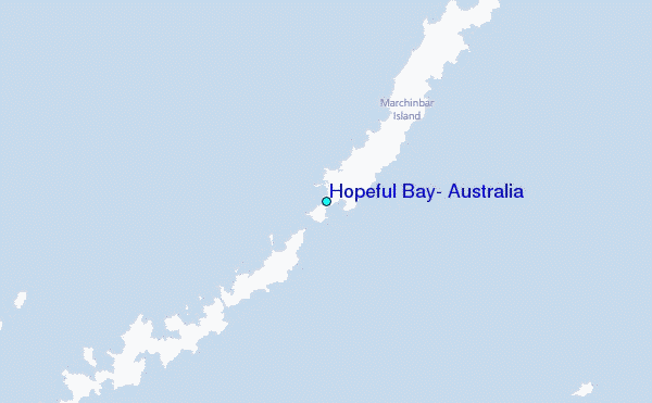
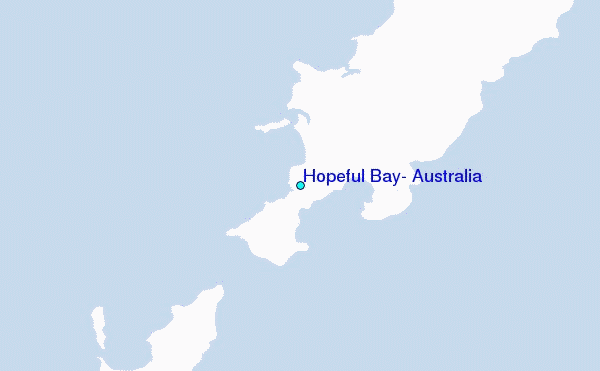
Use this relief map to navigate to tide stations, surf breaks and cities that are in the area of Hopeful Bay, Australia.
Other Nearby Locations' tide tables and tide charts to Hopeful Bay, Australia:
click location name for more details
 Surf breaks close to Hopeful Bay, Australia:
|
||
|---|---|---|
| Closest surf break | Casuarina (Darwin) | 385 mi |
| Second closest surf break | Rapid Creek - Beach | 387 mi |
| Third closest surf break | Rapid Creek - Bar | 387 mi |
| Fourth closest surf break | Rapid Creek - Reef | 387 mi |
| Fifth closest surf break | Fannie Bay | 389 mi |


 Nearest
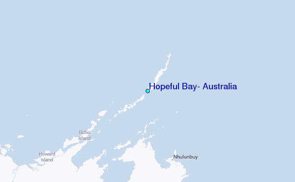