
| Distance / Altitude | Location | Report Date / Time | Live Weather | Wind | Gusts | Temp. | Visibility | Cloud |
|---|---|---|---|---|---|---|---|---|
| 18 km ENE / 3 m | BUOY-NCDV2 (Marine) | 2026-05-06 00:00 local (2026/05/06 04:00 GMT) | light winds from the S (13 km/h at 190) | 22°C | - | |||
| 20 km WSW / 717 m | Fredericksburg/Shannon Airport (Virginia) | 2026-05-05 23:35 local (2026/05/06 03:35 GMT) | Clear | moderate winds from the S (24 km/h at 180) | 23°C | 16 | ||
| 26 km WNW / 712 m | Stafford Regional Airport (Virginia) | 2026-05-05 23:35 local (2026/05/06 03:35 GMT) | Clear | moderate winds from the S.(Wind varies from 160 to 220 degs) (20 km/h at 190) | 23°C | 16 | ||
| 29 km N / 717 m | Quantico Marine Corps Air Facility Airport (Virginia) | 2026-05-05 23:56 local (2026/05/06 03:56 GMT) | Clear | moderate winds from the S (26 km/h at 190) | 22°C | 14 | ||
| 51 km SE / 42 m | Tappahannock Airport (Virginia) | 2026-05-05 23:35 local (2026/05/06 03:35 GMT) | Clear | light winds from the S (17 km/h at 180) | 21°C | 16 | ||
| 53 km N / 714 m | Fort Belvoir/Davison Airport (Virginia) | 2026-05-05 22:55 local (2026/05/06 02:55 GMT) | - | light winds from the SSE (13 km/h at 160) | 23°C | 16 | few | |
| 55 km SW / 107 m | Bumpass Airport (Virginia) (Virginia) | 2026-05-05 23:35 local (2026/05/06 03:35 GMT) | Clear | light winds from the SSW.(Wind varies from 140 to 220 degs) (13 km/h at 200) | 22°C | 16 | ||
| 55 km WSW / 133 m | Locust Grove (Virginia) | 2026-05-05 22:37 local (2026/05/06 02:37 GMT) | dry | light winds from the SSE (10 km/h at 168) | 22°C | - | - - 0 | |
| 57 km WNW / 103 m | Warrenton Airport (Virginia) | 2026-05-05 23:35 local (2026/05/06 03:35 GMT) | - | light winds from the S.(Wind varies from 140 to 200 degs) (13 km/h at 180) | 22°C | 16 | ||
| 58 km NW / 676 m | Manassas Municipal Airport (Virginia) | 2026-05-05 22:56 local (2026/05/06 02:56 GMT) | Clear | light winds from the S (17 km/h at 180) | 22°C | 16 |
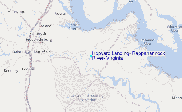
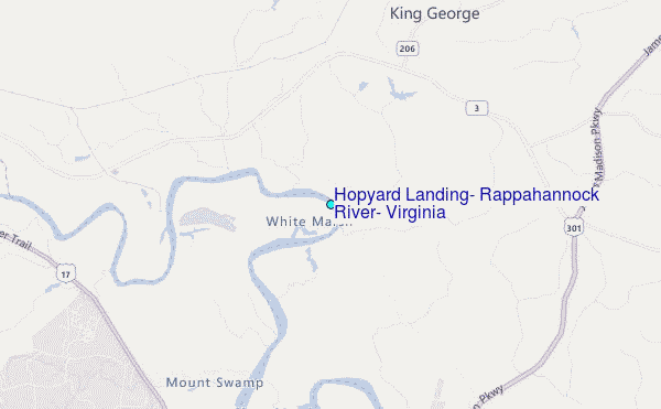
Choose Hopyard Landing, Rappahannock River, Virginia Location Map Zoom:
| Contours: | Roads & Rivers: | Select a
tide station / surf break / city |
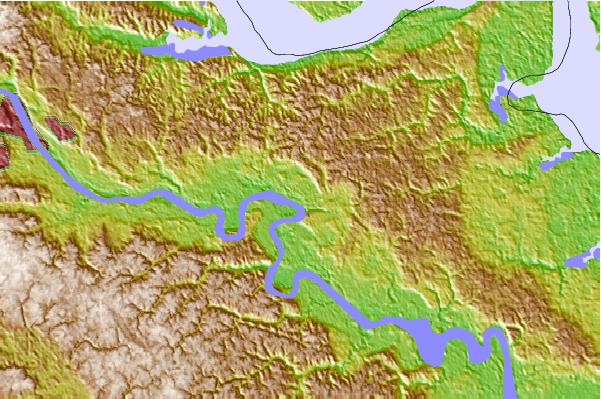
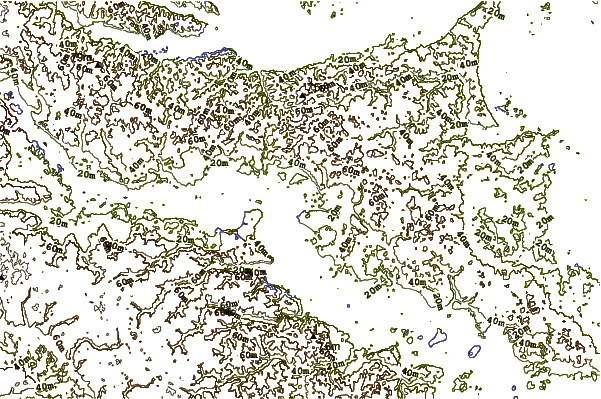
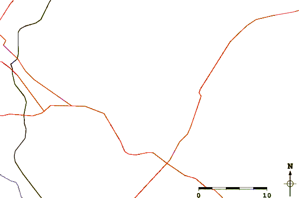
Use this relief map to navigate to tide stations, surf breaks and cities that are in the area of Hopyard Landing, Rappahannock River, Virginia.
Other Nearby Locations' tide tables and tide charts to Hopyard Landing, Rappahannock River, Virginia:
click location name for more details
 Surf breaks close to Hopyard Landing, Rappahannock River, Virginia:
|
||
|---|---|---|
| Closest surf break | Grandview | 96 mi |
| Second closest surf break | Out Front | 106 mi |
| Third closest surf break | Chincoteague | 106 mi |
| Fourth closest surf break | Fishermans Island | 106 mi |
| Fifth closest surf break | Assateague | 113 mi |


 Nearest
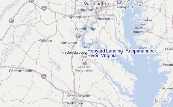