
| Distance / Altitude | Location | Report Date / Time | Live Weather | Wind | Gusts | Temp. | Visibility | Cloud |
|---|---|---|---|---|---|---|---|---|
| 2 km N / 15 m | SHIP7040 (Marine) | 2026-06-30 15:00 local (2026/07/01 00:00 GMT) | strong winds from the SW (44.64 km/h at 220) | 5°C | - km | |||
| 70 km WNW / 15 m | ASCATC182E52N (Marine) | 2026-06-30 14:00 local (2026/06/30 23:00 GMT) | strong winds from the SSW (41 km/h at 202) | — | - km | |||
| 80 km E / 506 m | Adak Naval Air Station Airport (Alaska) | 2026-06-30 15:31 local (2026/07/01 00:31 GMT) | - | strong winds from the SW (41 km/h at 230) | 1°C | 0.0 | ||
| 80 km E / 3 m | BUOY-ADKA2 (Marine) | 2026-06-30 15:48 local (2026/07/01 00:48 GMT) | near gales from the SW (58 km/h at 220) | 8°C | - | |||
| 93 km NW / 15 m | ASCATC182E53N (Marine) | 2026-06-30 14:00 local (2026/06/30 23:00 GMT) | fresh winds from the SSW (38 km/h at 200) | — | - km | |||
| 84 km E / 15 m | SHIP2818 (Marine) | 2026-06-30 15:00 local (2026/07/01 00:00 GMT) | - (- km/h at -) | — | - km | |||
| 84 km E / 15 m | SHIP7053 (Marine) | 2026-06-30 15:00 local (2026/07/01 00:00 GMT) | - (- km/h at -) | — | - km | |||
| 93 km NW / 15 m | ASCATC182E53N (Marine) | 2026-06-30 14:00 local (2026/06/30 23:00 GMT) | fresh winds from the SSW (38 km/h at 200) | — | - km | |||
| 104 km NNE / 15 m | ASCATC183E53N (Marine) | 2026-06-30 14:00 local (2026/06/30 23:00 GMT) | fresh winds from the SSW (33 km/h at 205) | — | - km | |||
| 115 km WSW / 15 m | ASCATC181E52N (Marine) | 2026-06-30 14:00 local (2026/06/30 23:00 GMT) | fresh winds from the SSW (37 km/h at 207) | — | - km |
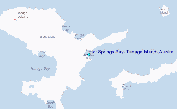
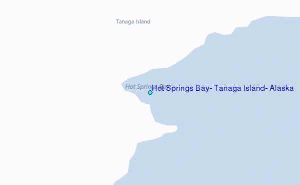
Choose Hot Springs Bay, Tanaga Island, Alaska Location Map Zoom:
| Contours: | Roads & Rivers: | Select a
tide station / surf break / city |
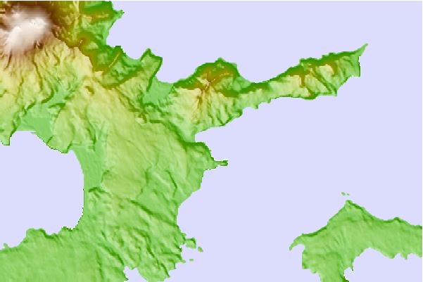
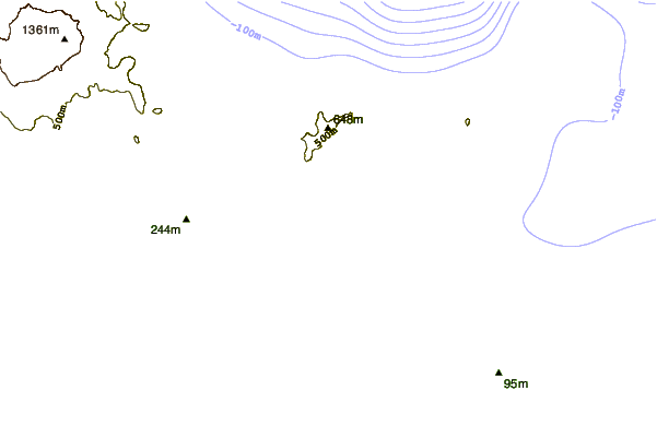

Use this relief map to navigate to tide stations, surf breaks and cities that are in the area of Hot Springs Bay, Tanaga Island, Alaska.
Other Nearby Locations' tide tables and tide charts to Hot Springs Bay, Tanaga Island, Alaska:
click location name for more details
 Surf breaks close to Hot Springs Bay, Tanaga Island, Alaska:
|
||
|---|---|---|
| Closest surf break | Khalaktyrsky Beach | 984 mi |
| Second closest surf break | Fossil Beach Kodiak | 1083 mi |
| Third closest surf break | Monashka Bay | 1086 mi |
| Fourth closest surf break | Termination Point | 1087 mi |
| Fifth closest surf break | Mill Bay | 1088 mi |


 Nearest
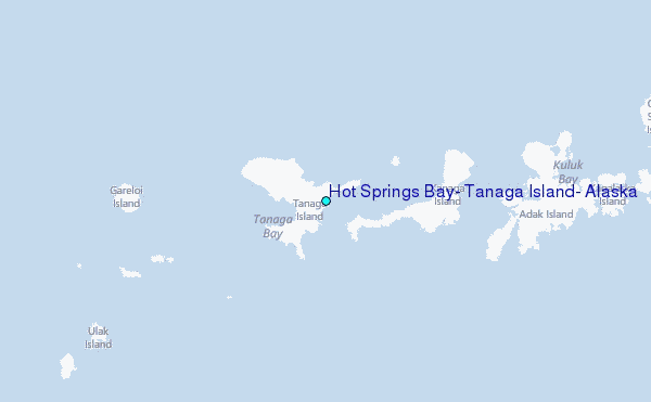