
| Distance / Altitude | Location | Report Date / Time | Live Weather | Wind | Gusts | Temp. | Visibility | Cloud |
|---|---|---|---|---|---|---|---|---|
| 6 km WSW / 51 m | Hobart(EllerslieRoad) (Australia) | 2026-03-24 12:00 local (2026/03/24 01:00 GMT) | Rain | moderate winds from the S (20 km/h at 190) | 14°C | - | - no observation - | |
| 9 km NNE / 213 m | Hobart Airport (Australia) | 2026-03-24 11:30 local (2026/03/24 00:30 GMT) | Moderate rain | moderate winds from the S (20 km/h at 180) | 15°C | 10.0 | few scattered overcast | |
| 10 km S / 25 m | Mary Ann Bay (Australia) | 2026-03-24 12:00 local (2026/03/24 01:00 GMT) | - | moderate winds from the S (20 km/h at 172) | 15°C | - | - - 0 | |
| 14 km WSW / 1260 m | Mount Wellington (Australia) | 2026-03-24 12:00 local (2026/03/24 01:00 GMT) | Patches of fog | moderate winds from the S (22 km/h at 170) | 7°C | - | - no observation - | |
| 20 km S / 6 m | Dennes Point (Australia) | 2026-03-24 12:00 local (2026/03/24 01:00 GMT) | no report | light winds from the SSW (9 km/h at 210) | 9°C | - | - no observation - | |
| 22 km N / 45 m | Campania(Kinkora) (Australia) | 2026-03-24 12:00 local (2026/03/24 01:00 GMT) | Rain | light winds from the SSE (7 km/h at 160) | 15°C | - | - no observation - | |
| 23 km S / 46 m | BullBay(Lauriston) (Australia) | 2026-03-24 12:00 local (2026/03/24 01:00 GMT) | - | calm (4 km/h at 280) | 20°C | - | no observation | |
| 27 km NW / 168 m | Winton (Australia) | 2026-03-24 12:00 local (2026/03/24 01:00 GMT) | - | light winds from the SE (19 km/h at 129) | 13°C | - | - - 0 | |
| 29 km SW / 65 m | Grove (Research Station) (Australia) | 2026-03-24 12:00 local (2026/03/24 01:00 GMT) | no report | wind obs. (6 kph from 210 degs) was rejected (- km/h at -) | 7°C | - | - no observation - | |
| 31 km E / 13 m | Dunalley(StroudPoint) (Australia) | 2026-03-24 12:00 local (2026/03/24 01:00 GMT) | no report | light winds from the SE (15 km/h at 140) | 10°C | - | - no observation - |
| Contours: | Roads & Rivers: | Select a
tide station / surf break / city |

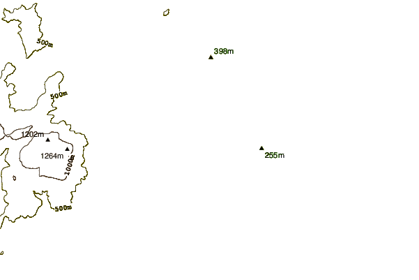

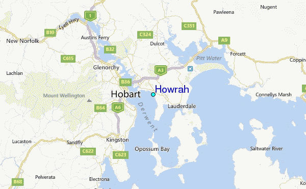
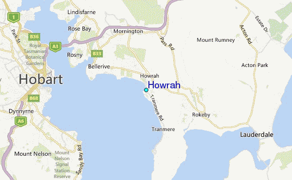
Use this relief map to navigate to tide stations, surf breaks and cities that are in the area of Howrah.
Other Nearby Locations' tide tables and tide charts to Howrah:
click location name for more details
 Surf breaks close to Howrah:
|
||
|---|---|---|
| Closest surf break | Howrah Beach | 1 mi |
| Second closest surf break | Bambra Reef | 5 mi |
| Third closest surf break | Seven Mile Beach and Point | 5 mi |
| Fourth closest surf break | Lauderdale Point | 6 mi |
| Fifth closest surf break | May's Point | 6 mi |


 Nearest