
| Distance / Altitude | Location | Report Date / Time | Live Weather | Wind | Gusts | Temp. | Visibility | Cloud |
|---|---|---|---|---|---|---|---|---|
| 115 km SSE / 15 m | SHIP9944 (Marine) | 2024-04-26 22:00 local (2024/04/27 03:00 GMT) | - (- km/h at -) | — | - km | |||
| 116 km SSE / 34 m | Lima Jorge Chávez International Airport (Peru) | 2024-04-26 22:00 local (2024/04/27 03:00 GMT) | Clouds developing | moderate winds from the S (20 km/h at 170) | 21°C | 30 km | - scattered - | |
| 131 km SSE / 361 m | La Molina wx (Peru) | 2024-04-26 21:31 local (2024/04/27 02:31 GMT) | - | calm (0 km/h at 71) | 22°C | - | - - 0 | |
| 149 km SSE / 24 m | Mamacona wx (Peru) | 2024-04-26 22:49 local (2024/04/27 03:49 GMT) | dry | calm (2 km/h at 190) | — | - | - - 0 | |
| 151 km SSE / 16 m | Mamacona wx (Peru) | 2024-04-26 21:48 local (2024/04/27 02:48 GMT) | - | calm (2 km/h at 190) | — | - | - - 0 |
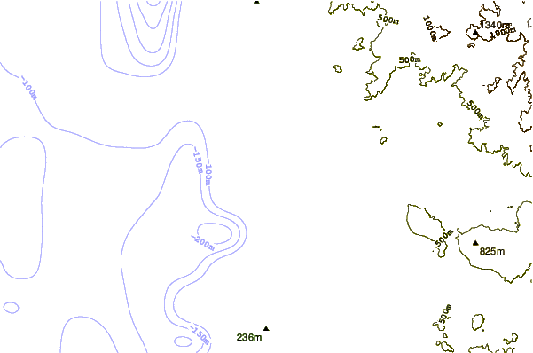
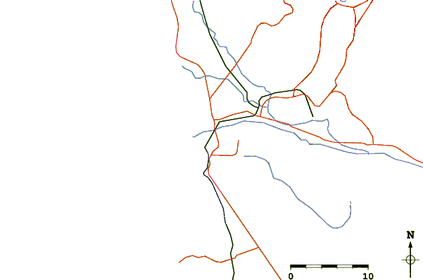
| Contours: | Roads & Rivers: | Select a
tide station / surf break / city |
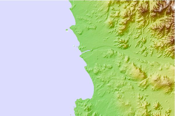
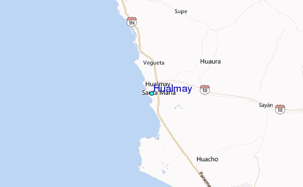
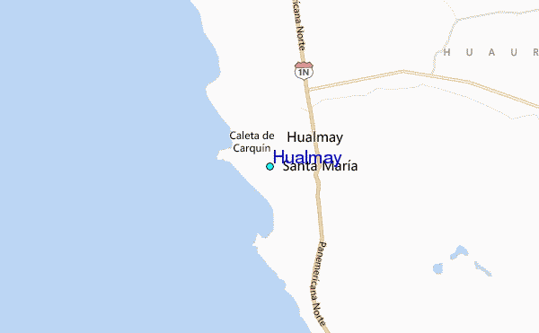
Use this relief map to navigate to tide stations, surf breaks and cities that are in the area of Hualmay.
Other Nearby Locations' tide tables and tide charts to Hualmay:
click location name for more details
 Surf breaks close to Hualmay:
|
||
|---|---|---|
| Closest surf break | Paraiso | 8 mi |
| Second closest surf break | Polvorin | 9 mi |
| Third closest surf break | Salinas | 14 mi |
| Fourth closest surf break | Conchitas | 15 mi |
| Fifth closest surf break | Chancay | 40 mi |

 Nearest