
| Distance / Altitude | Location | Report Date / Time | Live Weather | Wind | Gusts | Temp. | Visibility | Cloud |
|---|---|---|---|---|---|---|---|---|
| 27 km NNE / 212 m | Chignik Bay Airport (Alaska) | 2026-04-03 15:13 local (2026/04/03 23:13 GMT) | Light snow | wind obs. (19 kph from 250 degs) was rejected (- km/h at -) | -3°C | 8 | broken broken overcast | |
| 93 km N / 209 m | Port Heiden Airport (Alaska) | 2026-04-03 14:56 local (2026/04/03 22:56 GMT) | Light snow | light winds from the W (9 km/h at 260) | -3°C | 14 | few overcast | |
| 101 km W / 3 m | BUOY-CPSA2 (Marine) | 2026-04-03 16:32 local (2026/04/04 00:32 GMT) | light winds from the NNW (11 km/h at 330) | -5°C | - | |||
| 148 km SSW / 216 m | Sand Point Airport (Alaska) | 2026-04-03 14:56 local (2026/04/03 22:56 GMT) | Dry and partly cloudy | moderate winds from the NNW (26 km/h at 340) | -3°C | 16 | few scattered broken | |
| 161 km WSW / 4 m | Nelson Lagoon Airport (Alaska) | 2026-04-03 15:27 local (2026/04/03 23:27 GMT) | Light snow | light winds from the NW (13 km/h at 310) | -4°C | 14 | scattered scattered overcast | |
| 161 km WSW / 3 m | BUOY-NLXA2 (Marine) | 2026-04-03 16:32 local (2026/04/04 00:32 GMT) | light winds from the NNW (13 km/h at 340) | -4°C | - | |||
| 175 km NNE / 18 m | Pilot Point (Alaska) | 2026-04-03 14:56 local (2026/04/03 22:56 GMT) | Light snow | moderate winds from the W (20 km/h at 270) | — | 11 | broken overcast | |
| 242 km NNE / 216 m | Egegik Airport (Alaska) | 2026-04-03 15:15 local (2026/04/03 23:15 GMT) | Dry and partly cloudy | light winds from the W (17 km/h at 280) | -3°C | 16 | scattered scattered | |
| 263 km SW / 3 m | BUOY-KGCA2 (Marine) | 2026-04-03 16:00 local (2026/04/04 00:00 GMT) | fresh winds from the N (30 km/h at 360) | -4°C | - | |||
| 279 km SW / 161 m | Cold Bay Airport (Alaska) | 2026-04-03 15:38 local (2026/04/03 23:38 GMT) | Dry and cloudy | moderate winds from the NNW (24 km/h at 330) | -3°C | 14 | few scattered overcast |
| Contours: | Roads & Rivers: | Select a
tide station / surf break / city |
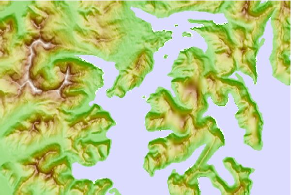
Use this relief map to navigate to tide stations, surf breaks and cities that are in the area of Hump Island, Kuiukta Bay, Alaska.
Other Nearby Locations' tide tables and tide charts to Hump Island, Kuiukta Bay, Alaska:
click location name for more details
 Surf breaks close to Hump Island, Kuiukta Bay, Alaska:
|
||
|---|---|---|
| Closest surf break | Fossil Beach Kodiak | 253 mi |
| Second closest surf break | Monashka Bay | 260 mi |
| Third closest surf break | Termination Point | 262 mi |
| Fourth closest surf break | Mill Bay | 264 mi |
| Fifth closest surf break | Bird Point (Tidal Bore) | 411 mi |


 Nearest