
| Distance / Altitude | Location | Report Date / Time | Live Weather | Wind | Gusts | Temp. | Visibility | Cloud |
|---|---|---|---|---|---|---|---|---|
| 104 km ESE / 3 m | BUOY-YATA2 (Marine) | 2026-02-28 16:00 local (2026/03/01 01:00 GMT) | - (- km/h at -) | — | - | |||
| 108 km SW / 3 m | Cape Suckling Buoy (Marine) | 2026-02-28 16:10 local (2026/03/01 01:10 GMT) | moderate winds from the NW (25 km/h at 310) | -2°C | - | |||
| 109 km ESE / 210 m | Yakutat Airport (Alaska) | 2026-02-28 14:53 local (2026/02/28 23:53 GMT) | Dry and cloudy | calm (0 km/h at 0) | -4°C | 16 | overcast | |
| 110 km WSW / - m | SHIP1365 (ocean) | 2026-02-28 14:00 local (2026/02/28 23:00 GMT) | - | moderate winds from the NNW (22 km/h at 330) | -3°C | - | no observation | |
| 175 km WSW / 3 m | BUOY-ELXA2 (Marine) | 2026-02-28 16:32 local (2026/03/01 01:32 GMT) | fresh winds from the NNW (30 km/h at 330) | -7°C | - | |||
| 110 km WSW / - m | SHIP1349 (ocean) | 2026-02-28 14:00 local (2026/02/28 23:00 GMT) | - | moderate winds from the NNW (22 km/h at 340) | -3°C | - | no observation | |
| 110 km WSW / - m | SHIP235 (ocean) | 2026-02-28 16:00 local (2026/03/01 01:00 GMT) | - | moderate winds from the NW (25 km/h at 320) | -3°C | - | no observation | |
| 110 km WSW / - m | SHIP33 (ocean) | 2026-02-28 16:00 local (2026/03/01 01:00 GMT) | - | fresh winds from the NW (29 km/h at 320) | -3°C | - | no observation | |
| 110 km WSW / - m | SHIP110 (ocean) | 2026-02-28 16:00 local (2026/03/01 01:00 GMT) | - | fresh winds from the NW (29 km/h at 320) | -3°C | - | no observation | |
| 110 km WSW / - m | SHIP691 (ocean) | 2026-02-28 16:00 local (2026/03/01 01:00 GMT) | - | moderate winds from the NW (25 km/h at 310) | -2°C | - | no observation |
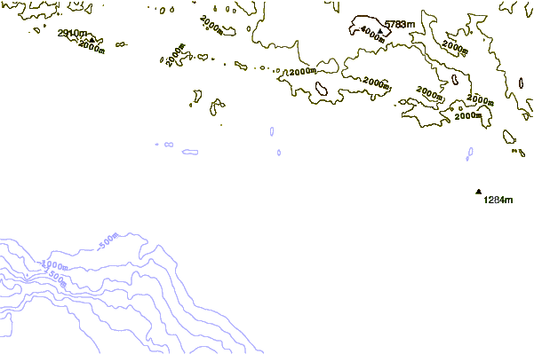
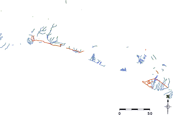
| Contours: | Roads & Rivers: | Select a
tide station / surf break / city |
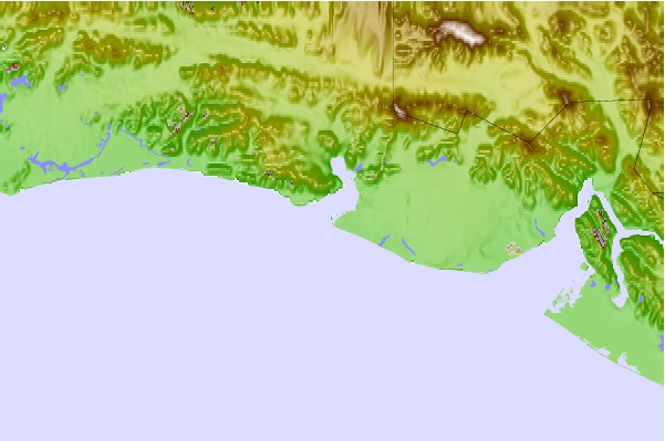
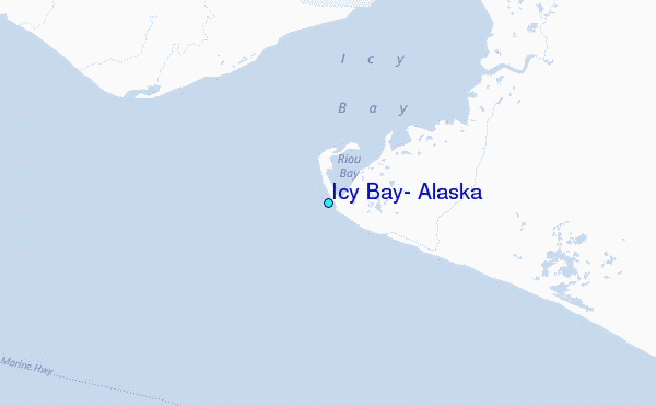
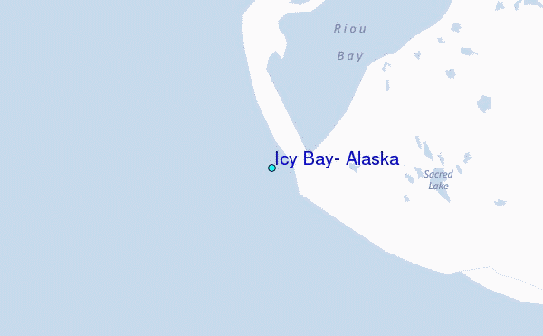
Use this relief map to navigate to tide stations, surf breaks and cities that are in the area of Icy Bay, Alaska.
Other Nearby Locations' tide tables and tide charts to Icy Bay, Alaska:
click location name for more details
 Surf breaks close to Icy Bay, Alaska:
|
||
|---|---|---|
| Closest surf break | Ocean Cape | 60 mi |
| Second closest surf break | Graveyards | 62 mi |
| Third closest surf break | Cannon Beach | 65 mi |
| Fourth closest surf break | Bird Point (Tidal Bore) | 344 mi |
| Fifth closest surf break | Mill Bay | 414 mi |


 Nearest
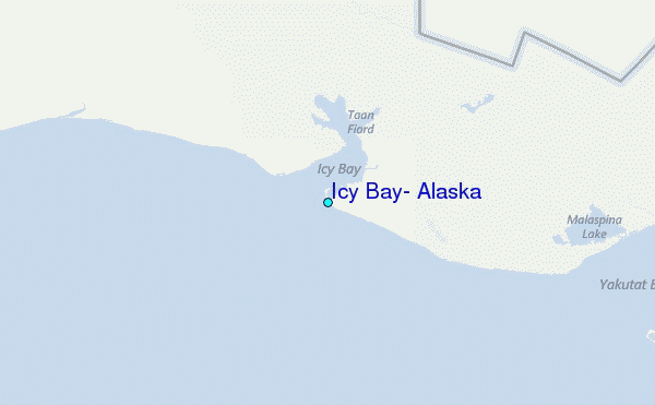