
| Distance / Altitude | Location | Report Date / Time | Live Weather | Wind | Gusts | Temp. | Visibility | Cloud |
|---|---|---|---|---|---|---|---|---|
| 61 km S / 56 m | Malabo/Fernando Poo Airport (Equatorial Guinea) | 2025-12-25 07:00 local (2025/12/25 06:00 GMT) | state of sky unchanged | calm (0 km/h at 0) | 25°C | 30 km | - mostly cloudy - | |
| 84 km ESE / 209 m | Douala Airport (Cameroon) | 2025-12-25 07:00 local (2025/12/25 06:00 GMT) | Mist - | calm (0 km/h at 0) | 25°C | 2.0 | broken few | |
| 84 km ESE / 209 m | Douala Airport (Cameroon) | 2025-12-25 06:00 local (2025/12/25 05:00 GMT) | Dry and partly cloudy | calm (0 km/h at 0) | 25°C | 7.0 | scattered few | |
| 107 km WNW / 67 m | Calabar (Nigeria) | 2025-12-25 07:00 local (2025/12/25 06:00 GMT) | Mist | wind obs. (6 kph from 50 degs) was rejected (- km/h at -) | 22°C | 5.0 km | mostly cloudy | |
| 109 km WNW / 122 m | Calabar Airport (Nigeria) | 2025-12-25 07:00 local (2025/12/25 06:00 GMT) | Mist - | wind obs. (6 kph from 50 degs) was rejected (- km/h at -) | 22°C | 5.0 | broken | |
| 230 km W / 306 m | Port Harcourt Airport (Nigeria) | 2025-12-25 07:00 local (2025/12/25 06:00 GMT) | Dry and partly cloudy | calm (0 km/h at 0) | 24°C | 7.0 | broken - - | |
| 231 km W / 97 m | Port Harcourt Airport (Nigeria) | 2025-12-25 07:00 local (2025/12/25 06:00 GMT) | Mist | calm (0 km/h at 0) | 24°C | 27 km | - mostly cloudy - | |
| 239 km W / 114 m | Sam Mbakwe International Cargo Airport (Nigeria) | 2025-12-25 08:00 local (2025/12/25 07:00 GMT) | Dry and partly cloudy | calm (0 km/h at 0) | 26°C | 7.0 | broken | |
| 274 km SSE / 560 m | Bata (Rio Muni) (Equatorial Guinea) | 2025-12-25 07:00 local (2025/12/25 06:00 GMT) | no report | light winds from the S (15 km/h at 180) | 29°C | 8 | - | |
| 276 km SSE / 554 m | Bata Airport (Equatorial Guinea) | 2025-12-25 06:00 local (2025/12/25 05:00 GMT) | Dry and partly cloudy | calm (2 km/h at 100) | 24°C | 10.0 | scattered |
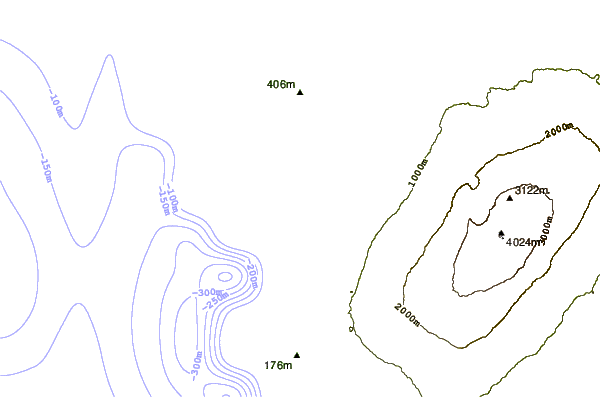
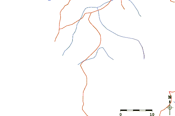
| Contours: | Roads & Rivers: | Select a
tide station / surf break / city |
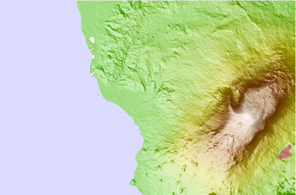
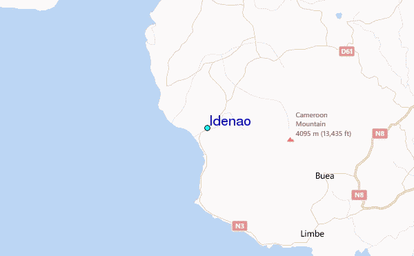
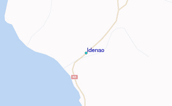
Use this relief map to navigate to tide stations, surf breaks and cities that are in the area of Idenao.
Other Nearby Locations' tide tables and tide charts to Idenao:
click location name for more details
 Surf breaks close to Idenao:
|
||
|---|---|---|
| Closest surf break | Seme Beach Limbe | 19 mi |
| Second closest surf break | Kribi | 110 mi |
| Third closest surf break | Ferme aux Crocos | 258 mi |
| Fourth closest surf break | Gueque | 266 mi |
| Fifth closest surf break | Ngombe | 273 mi |


 Nearest
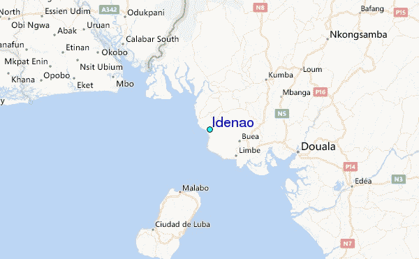