
| Distance / Altitude | Location | Report Date / Time | Live Weather | Wind | Gusts | Temp. | Visibility | Cloud |
|---|---|---|---|---|---|---|---|---|
| 119 km SSE / 611 m | Malabo/Fernando Poo Airport (Equatorial Guinea) | 2024-07-27 01:30 local (2024/07/27 00:30 GMT) | state of sky unchanged | light winds from the SW (11 km/h at 220) | 30°C | 10 | scattered - - | |
| 154 km SE / 3 m | SHIP508 (Marine) | 2024-07-27 00:00 local (2024/07/26 23:00 GMT) | - (- km/h at -) | 26°C | - | |||
| 153 km SE / 3 m | SHIP2536 (Marine) | 2024-07-27 00:00 local (2024/07/26 23:00 GMT) | - (- km/h at -) | 26°C | - | |||
| 153 km SE / 15 m | SHIP3600 (Marine) | 2024-07-27 01:00 local (2024/07/27 00:00 GMT) | - (- km/h at -) | — | - km | |||
| 153 km SE / 3 m | SHIP7320 (Marine) | 2024-07-27 02:00 local (2024/07/27 01:00 GMT) | - (- km/h at -) | 26°C | - | |||
| 153 km SE / 15 m | SHIP682 (Marine) | 2024-07-27 00:00 local (2024/07/26 23:00 GMT) | - (- km/h at -) | — | - km | |||
| 153 km SE / 15 m | SHIP5058 (Marine) | 2024-07-27 00:00 local (2024/07/26 23:00 GMT) | - (- km/h at -) | — | - km | |||
| 153 km SE / 3 m | SHIP6906 (Marine) | 2024-07-27 01:00 local (2024/07/27 00:00 GMT) | - (- km/h at -) | 26°C | - | |||
| 153 km SE / 3 m | SHIP4855 (Marine) | 2024-07-27 00:00 local (2024/07/26 23:00 GMT) | - (- km/h at -) | 26°C | - | |||
| 153 km SE / 3 m | SHIP3786 (Marine) | 2024-07-27 00:00 local (2024/07/26 23:00 GMT) | - (- km/h at -) | 26°C | - |
| Contours: | Roads & Rivers: | Select a
tide station / surf break / city |
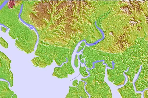
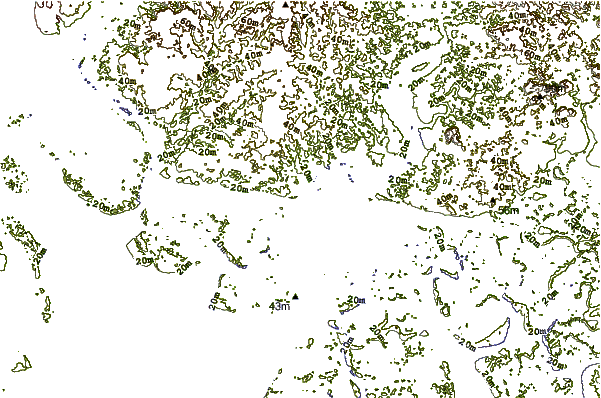
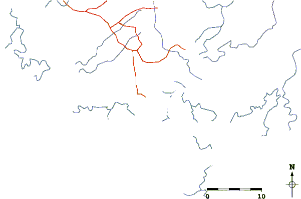
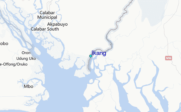
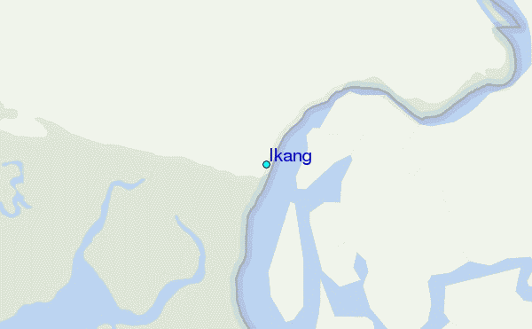
Use this relief map to navigate to tide stations, surf breaks and cities that are in the area of Ikang.
Other Nearby Locations' tide tables and tide charts to Ikang:
click location name for more details
 Surf breaks close to Ikang:
|
||
|---|---|---|
| Closest surf break | Seme Beach Limbe | 68 mi |
| Second closest surf break | Kribi | 160 mi |
| Third closest surf break | Ferme aux Crocos | 300 mi |
| Fourth closest surf break | Gueque | 308 mi |
| Fifth closest surf break | Ngombe | 314 mi |

 Nearest
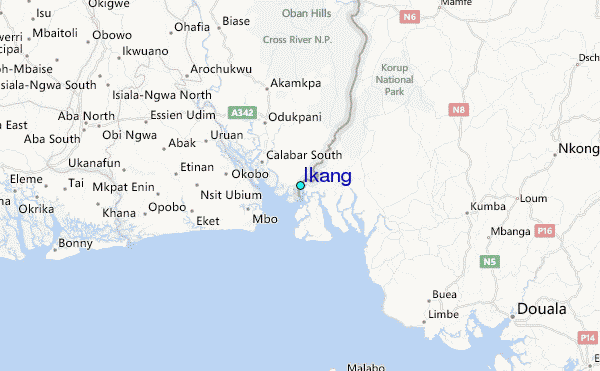